Property Information
mobile view
| Serial Number: 27:033:0153 |
Serial Life: 2001 |
|
|
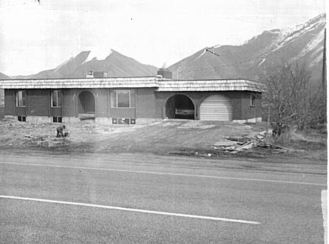
Total Photos: 1
|
| |
|
|
| Property Address: MAPLETON |
|
| Mailing Address: 11056 SURREY DR SPANISH FORK, UT 84660 |
|
| Acreage: 0.42086 |
|
| Last Document:
7189-2000
|
|
| Subdivision Map Filing |
|
| Taxing Description:
COM S 0 DEG 2' 53" W 1240.43 FT & E 30.28 FT FR NW COR. SEC. 22, T8S, R3E, SLB&M.; N 0 DEG 16' 0" E 190.83 FT; E 95.51 FT; S 191.28 FT; N 89 DEG 44' 0" W 96.4 FT TO BEG. AREA 0.421 AC.
*Taxing description NOT FOR LEGAL DOCUMENTS
|
|
- Owner Names
- Value History
- Tax History
- Location
- Photos
- Documents
- Aerial Image
| |
----- Real Estate Values ----- |
---Improvements--- |
---Greenbelt--- |
Total |
| Year |
Com |
Res |
Agr |
Tot |
Com |
Res |
Agr |
Tot |
Land |
Homesite |
Tot |
Market Value |
| 2001 |
$0 |
$59,920 |
$0 |
$59,920 |
$0 |
$93,021 |
$0 |
$93,021 |
$0 |
$0 |
$0 |
$152,941 |
| Year |
General Taxes |
Adjustments |
Net Taxes |
Fees |
Payments |
Tax Balance* |
Balance Due |
Tax District |
| 2001 |
$1,027.67 |
$0.00 |
$1,027.67 |
$0.00 |
|
$0.00
|
$0.00 |
140 - MAPLETON CITY |
* Note: Original tax amount (Does not include applicable interest and/or fees).
| Entry # |
Date |
Recorded |
Type |
Party1 (Grantor) |
Party2 (Grantee) |
| 20741-2001 |
12/21/1999 |
03/06/2001 |
S PLAT |
WALPOLE, RUSSELL & LUGEAN W TEE (ET AL) |
PARK MEADOWS ESTATES PLAT A |
| 7189-2000 |
01/27/2000 |
01/27/2000 |
WD |
WALPOLE, CLARK W & CINDY L |
WALPOLE, RUSSELL J & LUGEAN W TEE |
Main Menu Comments or Concerns on Value/Appraisal - Assessor's Office
Documents/Owner/Parcel information - Recorder's Office
Address Change for Tax Notice
This page was created on 7/13/2024 10:41:37 PM |