Property Information
mobile view
| Serial Number: 30:022:0087 |
Serial Life: 2008-2011 |
|
|
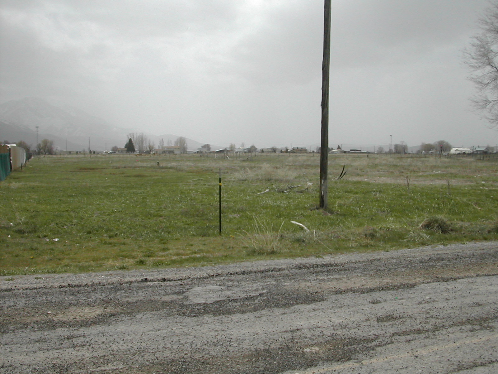
 Total Photos: 2
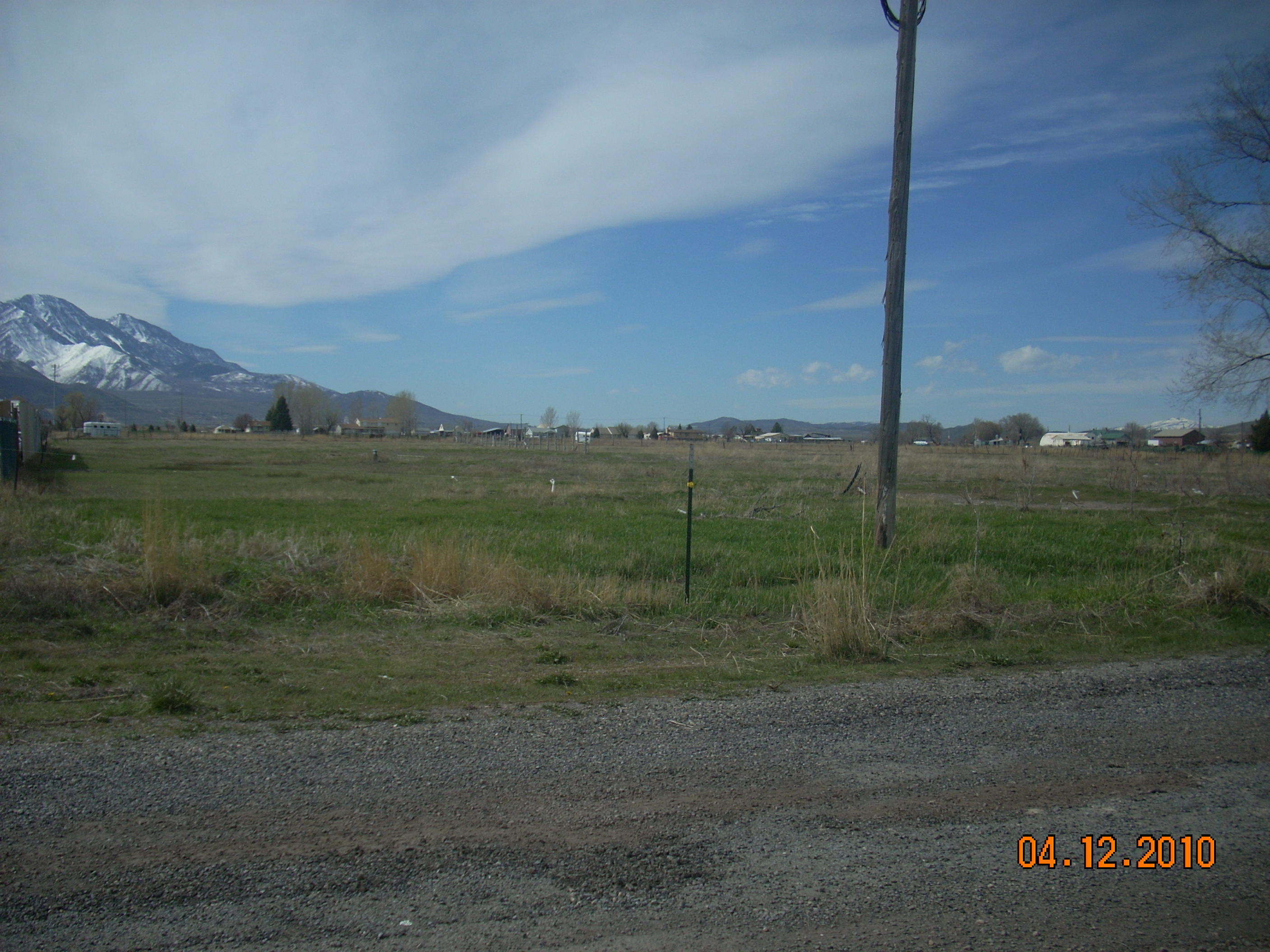
|
| |
|
|
| Property Address: |
|
| Mailing Address: %ALLAIRE YOUNICA 1224 E 420 S PAYSON, UT 84651-8551 |
|
| Acreage: 4.886891 |
|
| Last Document:
13933-2007
|
|
| Subdivision Map Filing |
|
| Taxing Description:
COM S 575.47 FT & W 1264.19 FT FR E 1/4 COR. SEC. 7, T9S, R2E, SLB&M.; N 1 DEG 0' 0" E 261.23 FT; N 89 DEG 0' 0" W 25.82 FT; N 1 DEG 49' 14" E 244.71 FT; S 89 DEG 0' 0" E 22.32 FT; N 0 DEG 59' 59" E 106.57 FT; N 89 DEG 7' 30" W 139.06 FT; S 36 DEG 10' 0" W 755.7 FT; S 89 DEG 33' 29" E 574.34 FT TO BEG. AREA 4.887 AC.
*Taxing description NOT FOR LEGAL DOCUMENTS
|
|
- Owner Names
- Value History
- Tax History
- Location
- Photos
- Documents
- Aerial Image
| |
----- Real Estate Values ----- |
---Improvements--- |
---Greenbelt--- |
Total |
| Year |
Com |
Res |
Agr |
Tot |
Com |
Res |
Agr |
Tot |
Land |
Homesite |
Tot |
Market Value |
| 2011 |
$159,027 |
$0 |
$0 |
$159,027 |
$0 |
$0 |
$0 |
$0 |
$2,499 |
$0 |
$2,499 |
$159,027 |
| 2010 |
$159,027 |
$0 |
$0 |
$159,027 |
$0 |
$0 |
$0 |
$0 |
$2,494 |
$0 |
$2,494 |
$159,027 |
| 2009 |
$368,800 |
$0 |
$0 |
$368,800 |
$0 |
$0 |
$0 |
$0 |
$0 |
$0 |
$0 |
$368,800 |
| 2008 |
$0 |
$59,122 |
$0 |
$59,122 |
$0 |
$0 |
$0 |
$0 |
$0 |
$0 |
$0 |
$59,122 |
| Year |
General Taxes |
Adjustments |
Net Taxes |
Fees |
Payments |
Tax Balance* |
Balance Due |
Tax District |
| 2011 |
$31.17 |
$0.00 |
$31.17 |
$0.00 |
|
$0.00
|
$0.00 |
170 - PAYSON CITY |
| 2010 |
$30.33 |
$0.00 |
$30.33 |
$0.00 |
|
$0.00
|
$0.00 |
170 - PAYSON CITY |
| 2009 |
$4,247.47 |
$0.00 |
$4,247.47 |
$0.00 |
|
$0.00
|
$0.00 |
170 - PAYSON CITY |
| 2008 |
$633.37 |
$0.00 |
$633.37 |
$0.00 |
|
$0.00
|
$0.00 |
170 - PAYSON CITY |
* Note: Original tax amount (Does not include applicable interest and/or fees).
| Entry # |
Date |
Recorded |
Type |
Party1 (Grantor) |
Party2 (Grantee) |
| 5576-2011 |
01/11/2011 |
01/18/2011 |
WD |
COOPER, JEFFREY D & MARGARET O TEE (ET AL) |
YOUNICA, ALLAIRE |
| 54645-2010 |
06/30/2010 |
06/30/2010 |
D TR |
COOPER, JEFFREY D & MARGARET O TEE |
BANK OF UTAH |
| 109305-2009 |
10/13/2009 |
10/16/2009 |
FARM |
COOPER, MARGARET O & JEFFREY D |
WHOM OF INTEREST |
| 114949-2008 |
10/20/2008 |
10/22/2008 |
CT |
STATE OF UTAH |
WHOM OF INTEREST |
| 107508-2008 |
09/30/2008 |
09/30/2008 |
RESOL |
BOARD OF COUNTY COMMISSIONERS UTAH COUNTY |
WHOM OF INTEREST |
| 48194-2008 |
04/17/2008 |
04/23/2008 |
REC |
CENTRAL BANK TEE |
COOPER, JEFFREY D & MARGARET O TEE (ET AL) |
| 48193-2008 |
04/17/2008 |
04/23/2008 |
REC |
CENTRAL BANK TEE |
COOPER, JEFFREY D & MARGARET O TEE (ET AL) |
| 44393-2007 |
03/27/2007 |
03/27/2007 |
MOD AGR |
COOPER, JEFFREY D & MARGARET TEE (ET AL) |
CENTRAL BANK |
| 13933-2007 |
01/29/2007 |
01/29/2007 |
QCD |
COOPER, JEFFREY D & MARGARET O TEE (ET AL) |
HALE, TIMOTHY URSEL |
Main Menu Comments or Concerns on Value/Appraisal - Assessor's Office
Documents/Owner/Parcel information - Recorder's Office
Address Change for Tax Notice
This page was created on 3/20/2025 1:05:22 PM |