Property Information
mobile view
| Serial Number: 38:274:0019 |
Serial Life: 1999NV |
|
|
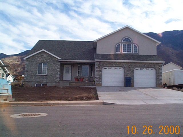
Total Photos: 1
|
| |
|
|
| Property Address: 577 S 500 EAST - SANTAQUIN |
|
| Mailing Address: 510 W 200 N PAYSON, UT 84651-1718 |
|
| Acreage: 0.431 |
|
| Last Document:
126201-1998
|
|
| Subdivision Map Filing |
|
| Taxing Description:
LOT 19, PLAT B, EAST BENCH ESTATES SUBDV. AREA 0.431 AC.
*Taxing description NOT FOR LEGAL DOCUMENTS
|
|
- Owner Names
- Value History
- Tax History
- Location
- Photos
- Documents
- Aerial Image
Main Menu Comments or Concerns on Value/Appraisal - Assessor's Office
Documents/Owner/Parcel information - Recorder's Office
Address Change for Tax Notice
This page was created on 7/14/2024 10:29:26 PM |