Property Information
mobile view
| Serial Number: 40:412:0004 |
Serial Life: 2009... |
|
|
 Total Photos: 8
|
| |
|
|
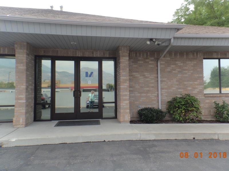
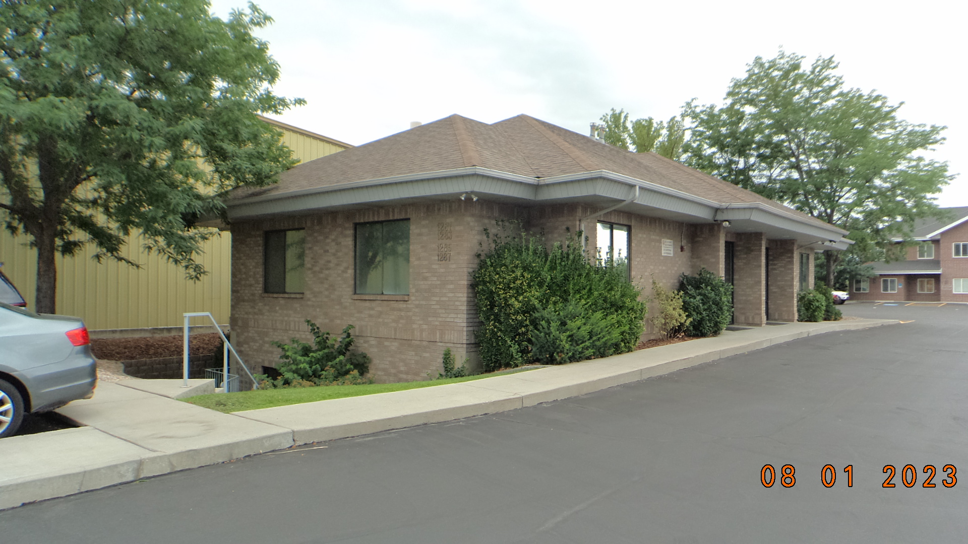
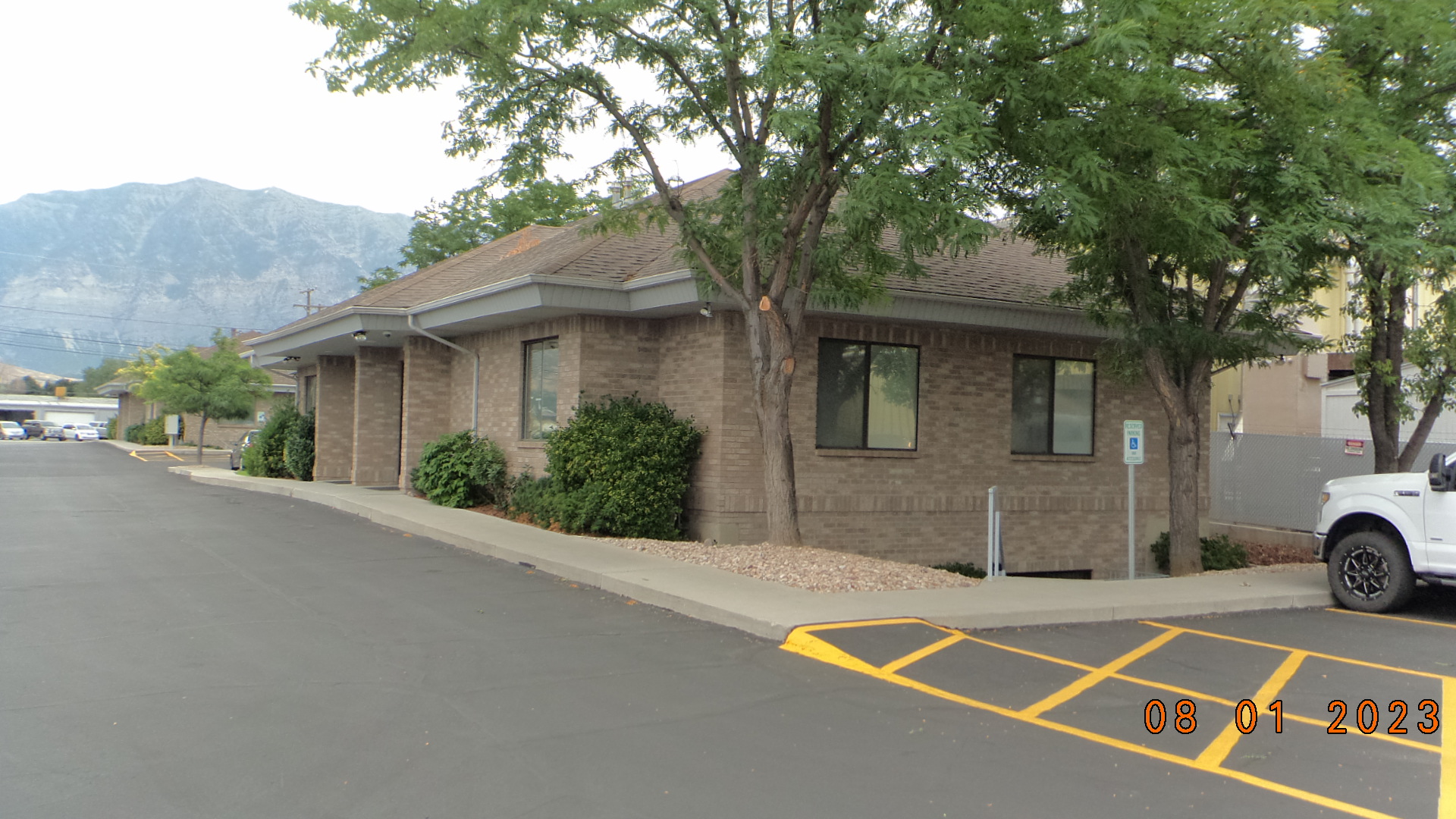
| Property Address: 1285 N STATE ST - OREM
more see "Addrs" tab below..
|
|
| Mailing Address: PO BOX 1426 PROVO, UT 84603 |
|
| Acreage: 0.029 |
|
| Last Document:
49261-2008
|
|
| Subdivision Map Filing |
|
| Taxing Description:
UNIT 4, PLAT A, GARDEN BLOCK SQUARE CONDOMINIUMS. AREA 0.029 AC.
*Taxing description NOT FOR LEGAL DOCUMENTS
|
|
- Owner Names
- Value History
- Tax History
- Location
- Photos
- Documents
- Aerial Image
- Addrs
| |
----- Real Estate Values ----- |
---Improvements--- |
---Greenbelt--- |
Total |
| Year |
Com |
Res |
Agr |
Tot |
Com |
Res |
Agr |
Tot |
Land |
Homesite |
Tot |
Market Value |
| 2024 |
$96,400 |
$0 |
$0 |
$96,400 |
$249,800 |
$0 |
$0 |
$249,800 |
$0 |
$0 |
$0 |
$346,200 |
| 2023 |
$94,500 |
$0 |
$0 |
$94,500 |
$244,900 |
$0 |
$0 |
$244,900 |
$0 |
$0 |
$0 |
$339,400 |
| 2022 |
$94,500 |
$0 |
$0 |
$94,500 |
$141,100 |
$0 |
$0 |
$141,100 |
$0 |
$0 |
$0 |
$235,600 |
| 2021 |
$94,500 |
$0 |
$0 |
$94,500 |
$141,100 |
$0 |
$0 |
$141,100 |
$0 |
$0 |
$0 |
$235,600 |
| 2020 |
$94,500 |
$0 |
$0 |
$94,500 |
$141,100 |
$0 |
$0 |
$141,100 |
$0 |
$0 |
$0 |
$235,600 |
| 2019 |
$94,500 |
$0 |
$0 |
$94,500 |
$141,100 |
$0 |
$0 |
$141,100 |
$0 |
$0 |
$0 |
$235,600 |
| 2018 |
$94,500 |
$0 |
$0 |
$94,500 |
$141,100 |
$0 |
$0 |
$141,100 |
$0 |
$0 |
$0 |
$235,600 |
| 2017 |
$94,500 |
$0 |
$0 |
$94,500 |
$141,100 |
$0 |
$0 |
$141,100 |
$0 |
$0 |
$0 |
$235,600 |
| 2016 |
$78,800 |
$0 |
$0 |
$78,800 |
$175,400 |
$0 |
$0 |
$175,400 |
$0 |
$0 |
$0 |
$254,200 |
| 2015 |
$78,800 |
$0 |
$0 |
$78,800 |
$175,400 |
$0 |
$0 |
$175,400 |
$0 |
$0 |
$0 |
$254,200 |
| 2014 |
$78,800 |
$0 |
$0 |
$78,800 |
$165,400 |
$0 |
$0 |
$165,400 |
$0 |
$0 |
$0 |
$244,200 |
| 2013 |
$78,800 |
$0 |
$0 |
$78,800 |
$138,600 |
$0 |
$0 |
$138,600 |
$0 |
$0 |
$0 |
$217,400 |
| 2012 |
$78,800 |
$0 |
$0 |
$78,800 |
$138,600 |
$0 |
$0 |
$138,600 |
$0 |
$0 |
$0 |
$217,400 |
| 2011 |
$82,800 |
$0 |
$0 |
$82,800 |
$127,400 |
$0 |
$0 |
$127,400 |
$0 |
$0 |
$0 |
$210,200 |
| 2010 |
$90,000 |
$0 |
$0 |
$90,000 |
$130,000 |
$0 |
$0 |
$130,000 |
$0 |
$0 |
$0 |
$220,000 |
| 2009 |
$94,300 |
$0 |
$0 |
$94,300 |
$160,770 |
$0 |
$0 |
$160,770 |
$0 |
$0 |
$0 |
$255,070 |
| Year |
General Taxes |
Adjustments |
Net Taxes |
Fees |
Payments |
Tax Balance* |
Balance Due |
Tax District |
| 2025 |
$0.00 |
$0.00 |
$0.00 |
$0.00 |
|
$0.00
|
$0.00 |
090 - OREM CITY |
| 2024 |
$2,831.22 |
$0.00 |
$2,831.22 |
$0.00 |
|
$0.00
|
$0.00 |
090 - OREM CITY |
| 2023 |
$2,582.49 |
$0.00 |
$2,582.49 |
$0.00 |
|
$0.00
|
$0.00 |
090 - OREM CITY |
| 2022 |
$1,850.40 |
$0.00 |
$1,850.40 |
$0.00 |
|
$0.00
|
$0.00 |
090 - OREM CITY |
| 2021 |
$2,221.24 |
$0.00 |
$2,221.24 |
$0.00 |
|
$0.00
|
$0.00 |
090 - OREM CITY |
| 2020 |
$2,260.11 |
$0.00 |
$2,260.11 |
$0.00 |
|
$0.00
|
$0.00 |
090 - OREM CITY |
| 2019 |
$2,173.41 |
$0.00 |
$2,173.41 |
$0.00 |
|
$0.00
|
$0.00 |
090 - OREM CITY |
| 2018 |
$2,274.72 |
$0.00 |
$2,274.72 |
$0.00 |
|
$0.00
|
$0.00 |
090 - OREM CITY |
| 2017 |
$2,335.50 |
$0.00 |
$2,335.50 |
$0.00 |
|
$0.00
|
$0.00 |
090 - OREM CITY |
| 2016 |
$2,732.65 |
$0.00 |
$2,732.65 |
$0.00 |
|
$0.00
|
$0.00 |
090 - OREM CITY |
| 2015 |
$2,889.49 |
$0.00 |
$2,889.49 |
$0.00 |
|
$0.00
|
$0.00 |
090 - OREM CITY |
| 2014 |
$2,788.52 |
$0.00 |
$2,788.52 |
$0.00 |
|
$0.00
|
$0.00 |
090 - OREM CITY |
| 2013 |
$2,677.06 |
$0.00 |
$2,677.06 |
$0.00 |
|
$0.00
|
$0.00 |
090 - OREM CITY |
| 2012 |
$2,732.28 |
$0.00 |
$2,732.28 |
$0.00 |
|
$0.00
|
$0.00 |
090 - OREM CITY |
| 2011 |
$2,629.18 |
$0.00 |
$2,629.18 |
$0.00 |
|
$0.00
|
$0.00 |
090 - OREM CITY |
| 2010 |
$3,191.62 |
($615.42) |
$2,576.20 |
$0.00 |
|
$0.00
|
$0.00 |
090 - OREM CITY |
| 2009 |
$3,398.70 |
($629.92) |
$2,768.78 |
$0.00 |
|
$0.00
|
$0.00 |
090 - OREM CITY |
* Note: Original tax amount (Does not include applicable interest and/or fees).
| Entry # |
Date |
Recorded |
Type |
Party1 (Grantor) |
Party2 (Grantee) |
| 107666-2008 |
09/25/2008 |
09/30/2008 |
REC |
BANK OF AMERICAN FORK TEE |
GARDEN BLOCK SQUARE DEVELOPMENT LLC |
| 103186-2008 |
04/28/2008 |
09/18/2008 |
QCD |
GARDEN BLOCK SQUARE DEVELOPMENT LLC (ET AL) |
DHN INVESTMENTS LLC |
| 49262-2008 |
04/21/2008 |
04/25/2008 |
DECLCOV |
GARDEN BLOCK SQUARE DEVELOPMENT LLC (ET AL) |
WHOM OF INTEREST |
| 49261-2008 |
03/10/2008 |
04/25/2008 |
C PLAT |
DHN INVESTMENTS LLC (ET AL) |
GARDEN BLOCK SQUARE CONDO PLAT A |
1285 N STATE ST - OREM
1287 N STATE ST - OREM
Main Menu Comments or Concerns on Value/Appraisal - Assessor's Office
Documents/Owner/Parcel information - Recorder's Office
Address Change for Tax Notice
This page was created on 2/10/2025 9:50:14 AM |