Property Information
mobile view
| Serial Number: 41:715:0001 |
Serial Life: 2009-2010 |
|
|

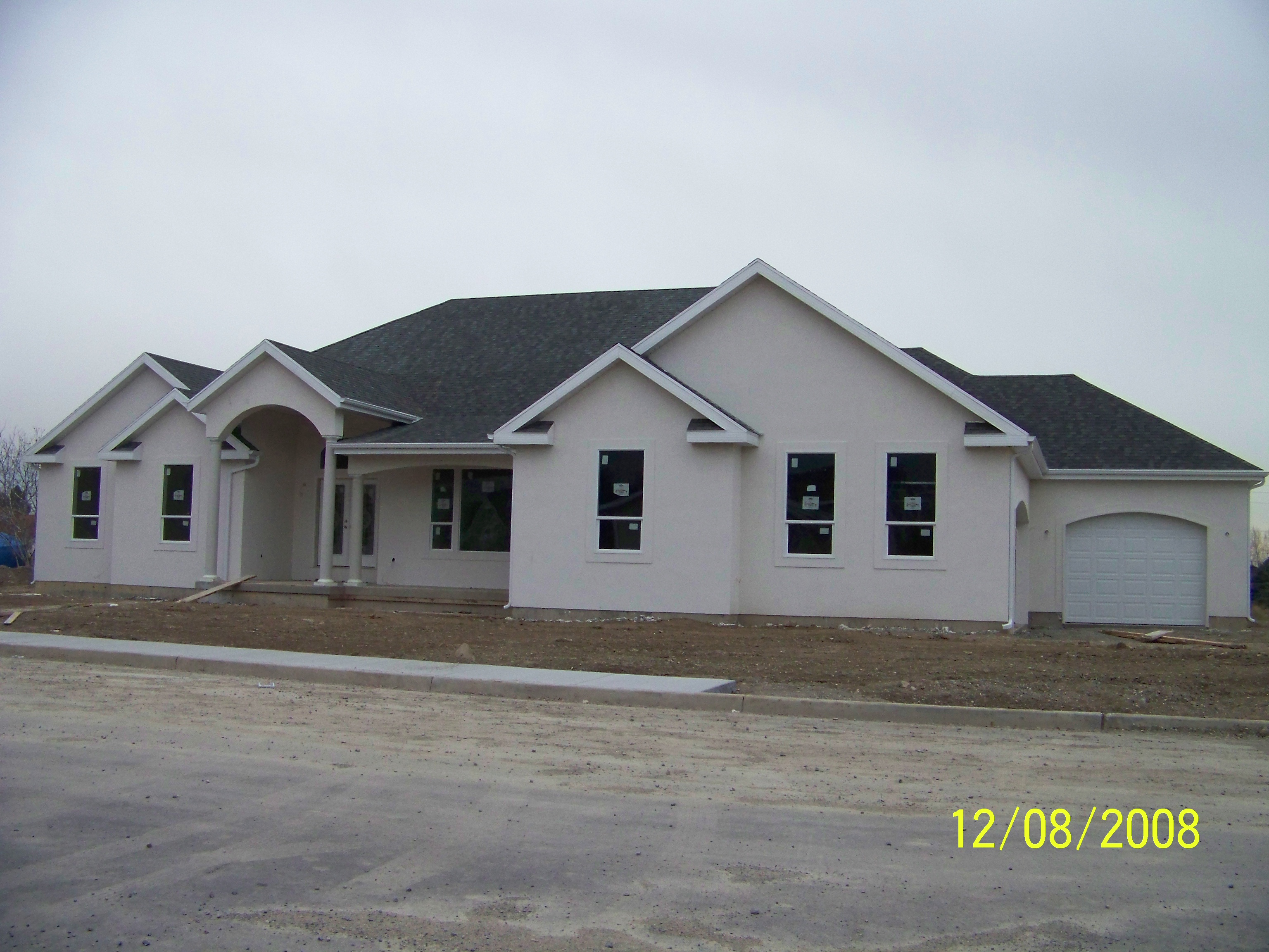
Total Photos: 3
|
| |
|
|
| Property Address: 885 W 1290 NORTH - PLEASANT GROVE |
|
| Mailing Address: 885 W 1290 N PLEASANT GROVE, UT 84062-8094 |
|
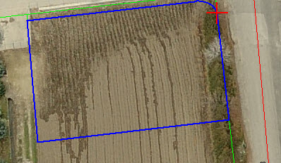
| Acreage: 0.36135 |
|
| Last Document:
76156-2008
|
|
| Subdivision Map Filing |
|
| Taxing Description:
LOT 1, PLAT C, HULLINGER SUBDV. AREA 0.361 AC.
*Taxing description NOT FOR LEGAL DOCUMENTS
|
|
- Owner Names
- Value History
- Tax History
- Location
- Photos
- Documents
- Aerial Image
| |
----- Real Estate Values ----- |
---Improvements--- |
---Greenbelt--- |
Total |
| Year |
Com |
Res |
Agr |
Tot |
Com |
Res |
Agr |
Tot |
Land |
Homesite |
Tot |
Market Value |
| 2010 |
$0 |
$51,149 |
$0 |
$51,149 |
$0 |
$423,851 |
$0 |
$423,851 |
$0 |
$0 |
$0 |
$475,000 |
| 2009 |
$0 |
$92,900 |
$0 |
$92,900 |
$0 |
$270,000 |
$0 |
$270,000 |
$0 |
$0 |
$0 |
$362,900 |
| Year |
General Taxes |
Adjustments |
Net Taxes |
Fees |
Payments |
Tax Balance* |
Balance Due |
Tax District |
| 2010 |
$3,147.02 |
$0.00 |
$3,147.02 |
$0.00 |
|
$0.00
|
$0.00 |
070 - PLEASANT GROVE CITY |
| 2009 |
$2,217.70 |
$0.00 |
$2,217.70 |
$0.00 |
|
$0.00
|
$0.00 |
070 - PLEASANT GROVE CITY |
* Note: Original tax amount (Does not include applicable interest and/or fees).
| Entry # |
Date |
Recorded |
Type |
Party1 (Grantor) |
Party2 (Grantee) |
| 61104-2010 |
07/06/2010 |
07/22/2010 |
S PLAT |
HULLINGER, ARVIN JAY & LUANA M TEE (ET AL) |
HULLINGER ESTATES PLAT C |
| 123753-2009 |
12/01/2009 |
12/01/2009 |
QCD |
HULLINGER, STEPHEN & REBECCA |
HULLINGER, STEPHEN & REBECCA TEE |
| 123752-2009 |
12/01/2009 |
12/01/2009 |
QCD |
HULLINGER, ARVIN JAY & LUANA M TEE (ET AL) |
HULLINGER, STEPHEN & REBECCA |
| 109197-2008 |
09/29/2008 |
10/06/2008 |
R/W EAS |
HULLINGER, ARVIN J & LUANA M |
PACIFIC CORP DBA (ET AL) |
| 76156-2008 |
05/20/2008 |
07/02/2008 |
S PLAT |
HULLINGER, ARVIN J & LUANA M (ET AL) |
HULLINGER PLAT C |
Main Menu Comments or Concerns on Value/Appraisal - Assessor's Office
Documents/Owner/Parcel information - Recorder's Office
Address Change for Tax Notice
This page was created on 7/14/2024 2:03:31 AM |