Property Information
mobile view
| Serial Number: 46:836:0004 |
Serial Life: 2014-2015 |
|
|
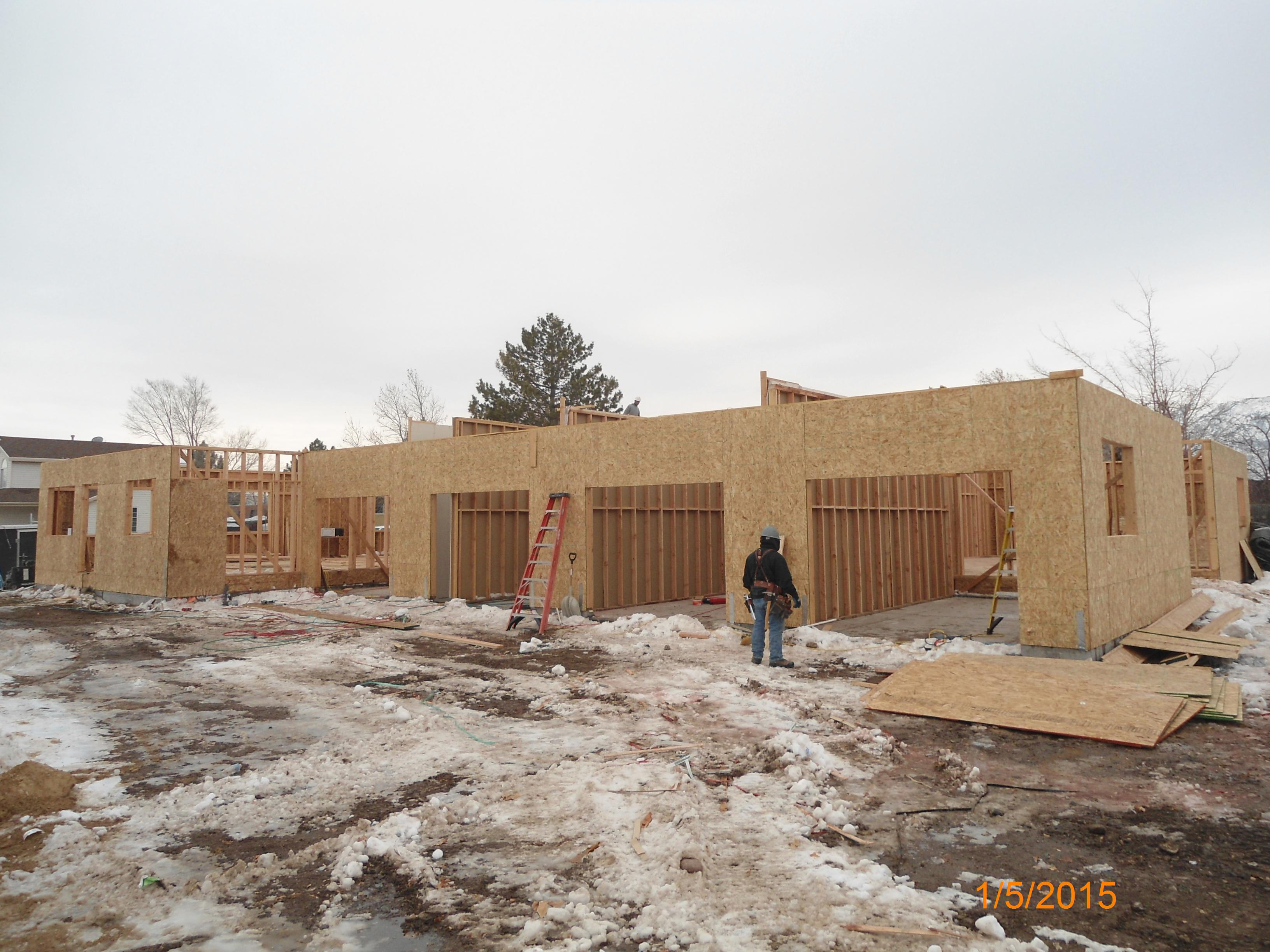
Total Photos: 1
|
| |
|
|
| Property Address: |
|
| Mailing Address: 70 S 100 E PLEASANT GROVE, UT 84062-2702 |
|
| Acreage: 0.327292 |
|
| Last Document:
29587-2013
|
|
| Subdivision Map Filing |
|
| Taxing Description:
PUBLIC STREET, PLAT A, MAPLE GROVE SUB AREA 0.327 AC.
*Taxing description NOT FOR LEGAL DOCUMENTS
|
|
- Owner Names
- Value History
- Tax History
- Location
- Photos
- Documents
- Aerial Image
Main Menu Comments or Concerns on Value/Appraisal - Assessor's Office
Documents/Owner/Parcel information - Recorder's Office
Address Change for Tax Notice
This page was created on 7/14/2024 2:28:52 PM |