Property Information
| Serial Number: 13:058:0357 |
Serial Life: 2021... |
|
|

Total Photos: 11
|
| |
|
|
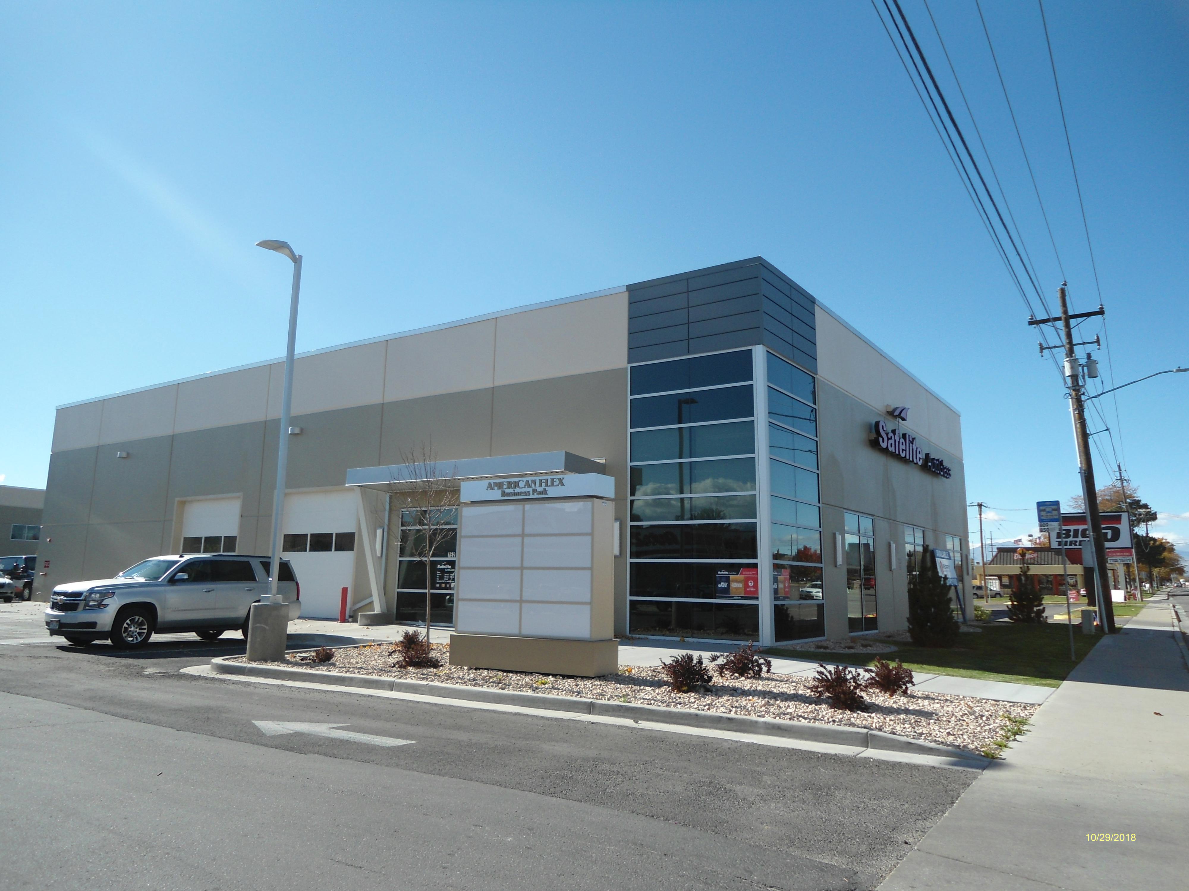
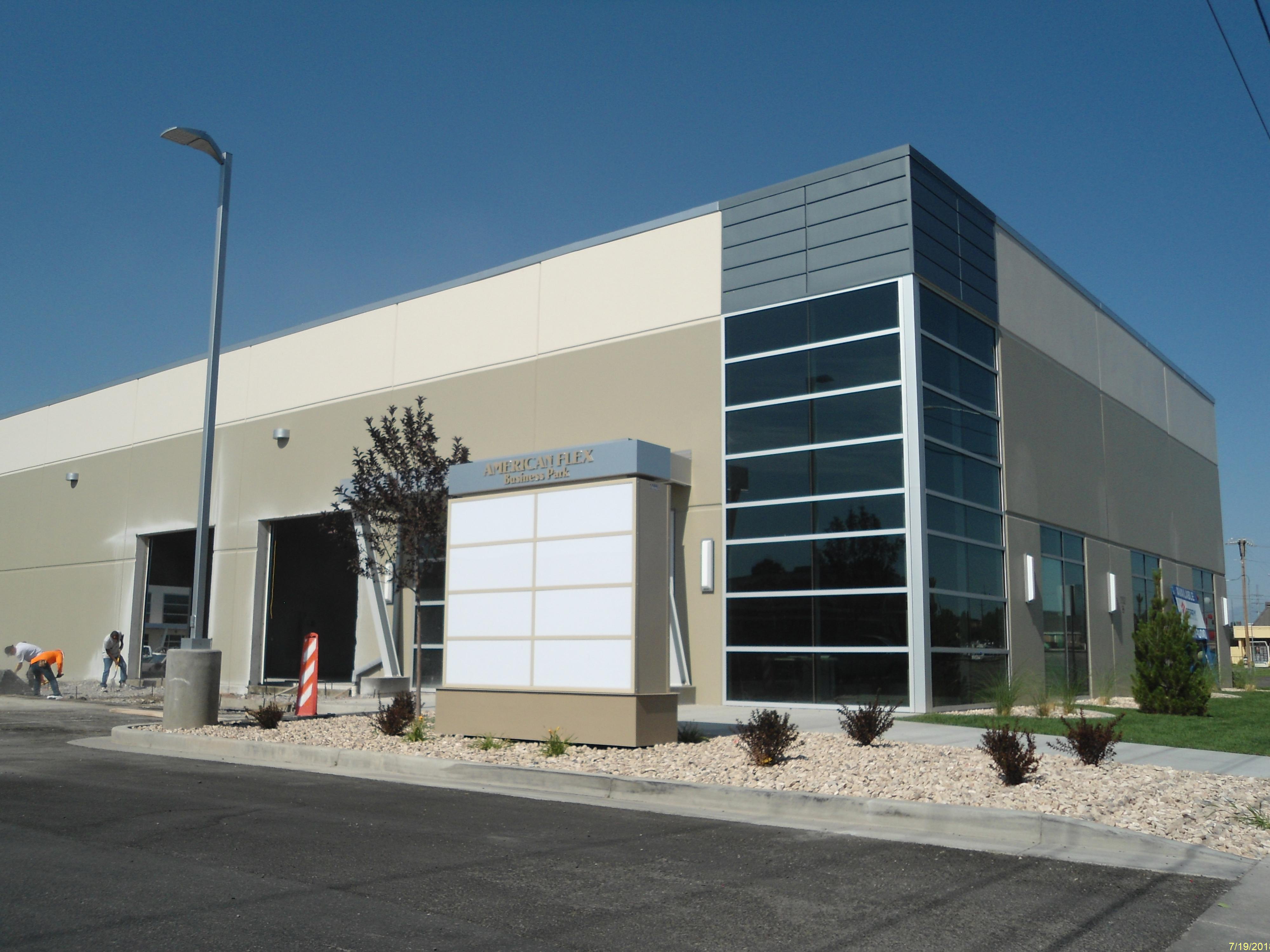
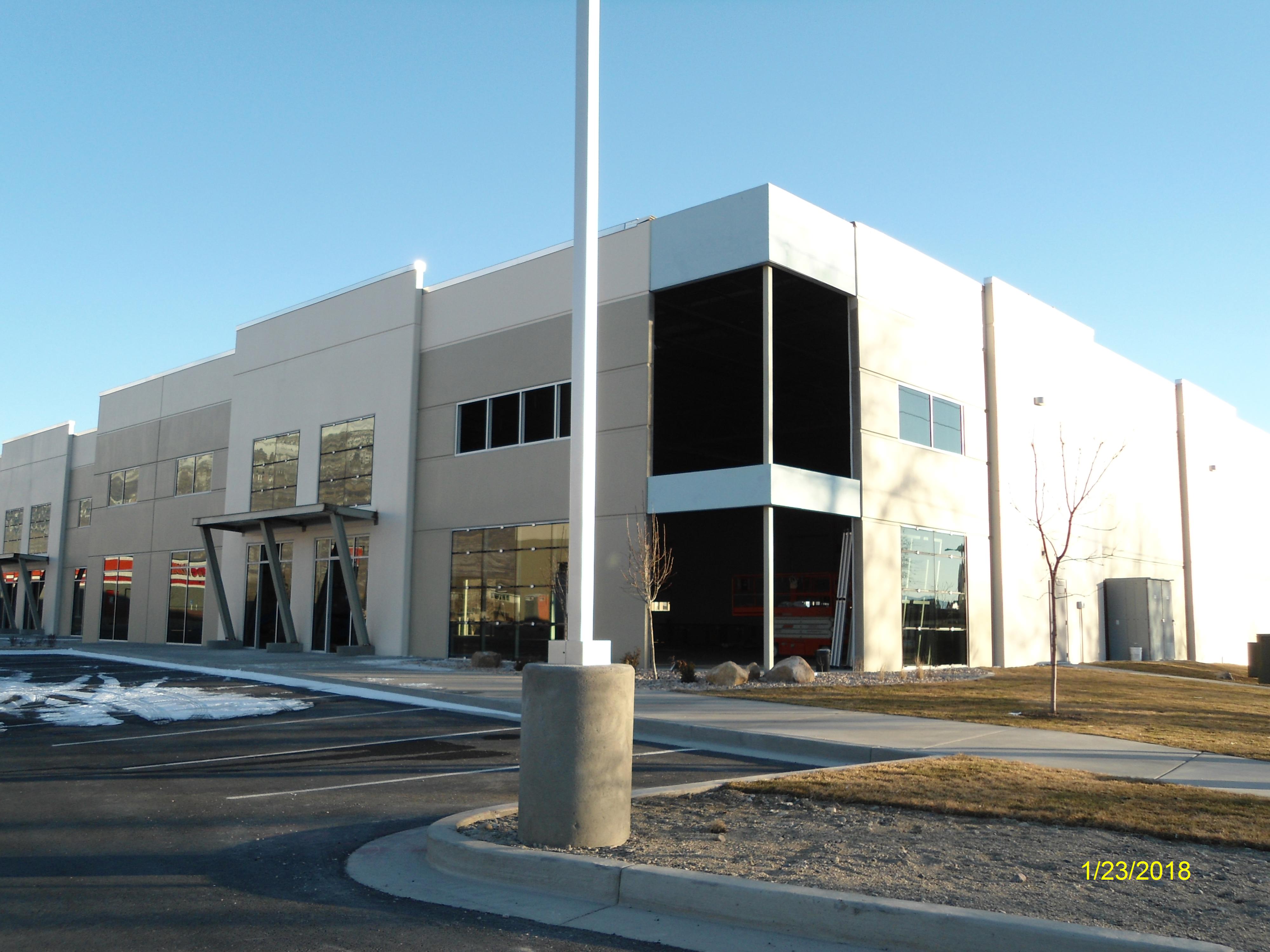
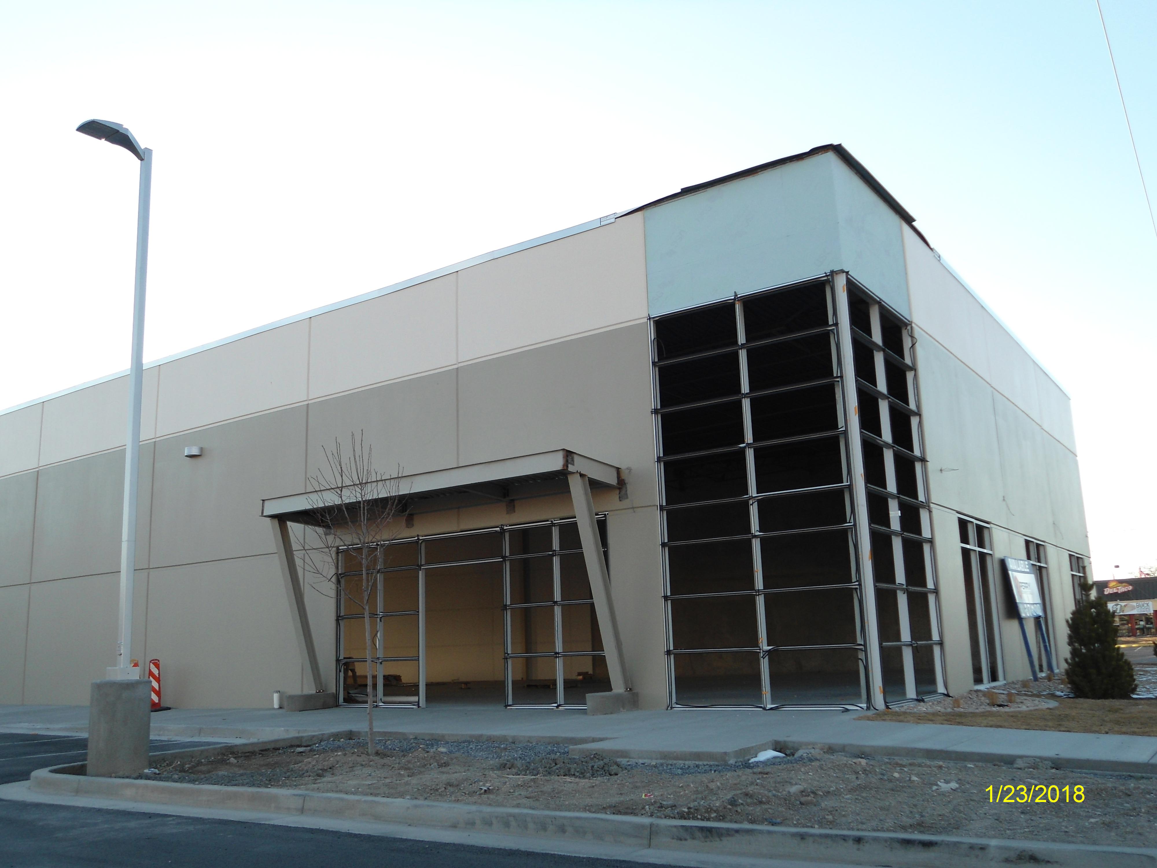
| Property Address: 752 E STATE ST - AMERICAN FORK |
|
| Mailing Address: 17 E WINCHESTER ST # 200 MURRAY, UT 84107-5610 |
|
| Acreage: 3.616376 |
|
| Last Document:
43205-2020
|
|
| Subdivision Map Filing |
|
| Legal Description:
COM N 776.03 FT & W 1380.45 FT FR E 1/4 COR. SEC. 24, T5S, R1E, SLB&M.; S 1 DEG 15' 30" W 492.66 FT; N 80 DEG 30' 56" W 181.28 FT; N 2 DEG 13' 22" E 337.32 FT; S 72 DEG 17' 30" E 174.75 FT; N 2 DEG 25' 0" E 179.66 FT; S 73 DEG 19' 14" E 2.6 FT TO BEG. AREA 1.335 AC. ALSO COM N 236.31 FT & W 1102.95 FT FR E 1/4 COR. SEC. 24, T5S, R1E, SLB&M.; N 80 DEG 30' 56" W 288.51 FT; N 0 DEG 51' 17" E 492.16 FT; S 73 DEG 19' 15" E 128.83 FT; S 17 DEG 18' 16" W 183.32 FT; S 72 DEG 41' 42" E 216.99 FT; S 0 DEG 17' 14" E 212.07 FT; S 0 DEG 8' 15" E 51.03 FT TO BEG. AREA 2.258 AC. ALSO COM N 297.21 FT & W 1498.54 FT FR E 1/4 COR. SEC. 24, T5S, R1E, SLB&M.; N 80 DEG 30' 56" W 72.68 FT; N 2 DEG 13' 29" E 4.18 FT; S 80 DEG 30' 56" E 72.69 FT; S 2 DEG 25' 0" W 4.18 FT TO BEG. AREA 0.007 AC. ALSO COM N 499.4 FT & W 1104.14 FT FR E 1/4 COR. SEC. 24, T5S, R1E, SLB&M.; S 72 DEG 41' 37" E 3.66 FT; S 0 DEG 6' 23" W 262.31 FT; N 80 DEG 30' 53" W 1.84 FT; N 0 DEG 8' 15" W 51.03 FT; N 0 DEG 17' 14" W 212.07 FT TO BEG. AREA 0.016 AC. TOTAL AREA 3.616 AC. |
|
- Owner Names
- Value History
- Tax History
- Location
- Photos
- Documents
- Aerial Image
| |
----- Real Estate Values ----- |
---Improvements--- |
---Greenbelt--- |
Total |
| Year |
Com |
Res |
Agr |
Tot |
Com |
Res |
Agr |
Tot |
Land |
Homesite |
Tot |
Market Value |
| 2024 |
$1,987,500 |
$0 |
$0 |
$1,987,500 |
$6,084,300 |
$0 |
$0 |
$6,084,300 |
$0 |
$0 |
$0 |
$8,071,800 |
| 2023 |
$1,948,600 |
$0 |
$0 |
$1,948,600 |
$5,388,500 |
$0 |
$0 |
$5,388,500 |
$0 |
$0 |
$0 |
$7,337,100 |
| 2022 |
$1,883,600 |
$0 |
$0 |
$1,883,600 |
$5,080,000 |
$0 |
$0 |
$5,080,000 |
$0 |
$0 |
$0 |
$6,963,600 |
| 2021 |
$1,862,600 |
$0 |
$0 |
$1,862,600 |
$4,301,000 |
$0 |
$0 |
$4,301,000 |
$0 |
$0 |
$0 |
$6,163,600 |
| Year |
General Taxes |
Adjustments |
Net Taxes |
Fees |
Payments |
Tax Balance* |
Balance Due |
Tax District |
| 2025 |
$0.00 |
$0.00 |
$0.00 |
$0.00 |
|
$0.00
|
$0.00 |
060 - AMERICAN FORK CITY |
| 2024 |
$72,646.20 |
$0.00 |
$72,646.20 |
$0.00 |
|
$0.00
|
$0.00 |
060 - AMERICAN FORK CITY |
| 2023 |
$62,284.64 |
$0.00 |
$62,284.64 |
$0.00 |
|
$0.00
|
$0.00 |
060 - AMERICAN FORK CITY |
| 2022 |
$59,900.89 |
$0.00 |
$59,900.89 |
$0.00 |
|
$0.00
|
$0.00 |
060 - AMERICAN FORK CITY |
| 2021 |
$61,716.13 |
$0.00 |
$61,716.13 |
$0.00 |
|
$0.00
|
$0.00 |
060 - AMERICAN FORK CITY |
|
*The visual representation is a sum of taxes for the year(s) selected and is for reference only and no liability is assumed for any inaccuracies, incorrect data or variations.
|
|
* Note: Original tax amount (Does not include applicable interest and/or fees).
| Entry # |
Date |
Recorded |
Type |
Party1 (Grantor) |
Party2 (Grantee) |
| 121771-2022 |
04/28/2021 |
12/01/2022 |
EAS |
C&T TIRE LLC |
WHOM OF INTEREST |
| 121770-2022 |
04/28/2021 |
12/01/2022 |
EAS |
C&T TIRE LLC |
UTAH DEPARTMENT OF TRANSPORTATION |
| 43207-2020 |
03/11/2020 |
04/03/2020 |
EAS |
TIMPANOGOS INDUSTRIAL LLC |
UTAH DEPARTMENT OF TRANSPORTATION |
| 43206-2020 |
03/11/2020 |
04/03/2020 |
EAS |
TIMPANOGOS INDUSTRIAL LLC |
WHOM OF INTEREST |
| 43205-2020 |
03/11/2020 |
04/03/2020 |
WD |
TIMPANOGOS INDUSTRIAL LLC |
UTAH DEPARTMENT OF TRANSPORTATION |
Main Menu Comments or Concerns on Value/Appraisal - Assessor's Office
Documents/Owner/Parcel information - Recorder's Office
Address Change for Tax Notice
This page was created on 3/10/2025 3:43:30 AM |


