Property Information
| Serial Number: 46:958:0104 |
Serial Life: 2017... |
|
|
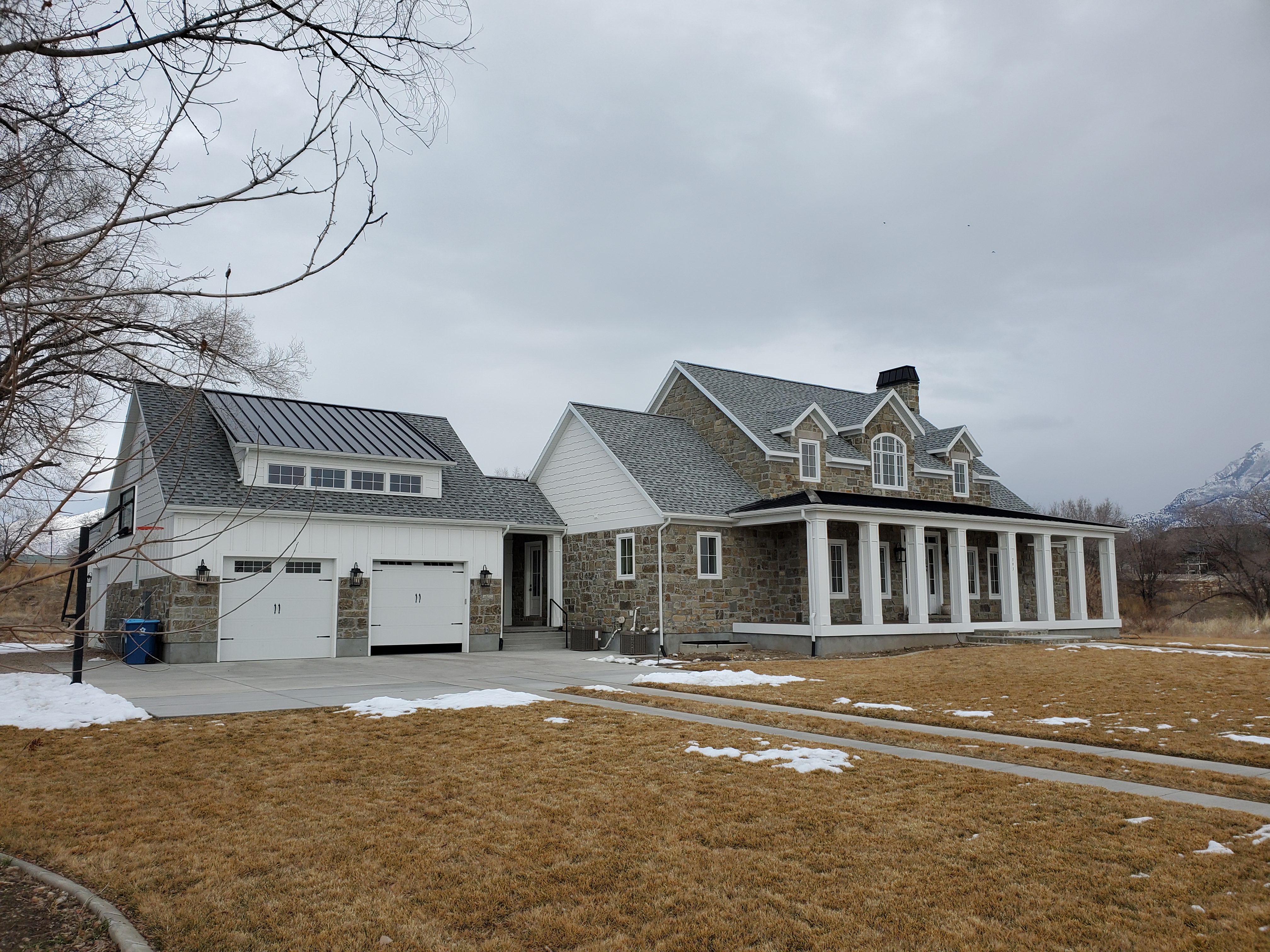
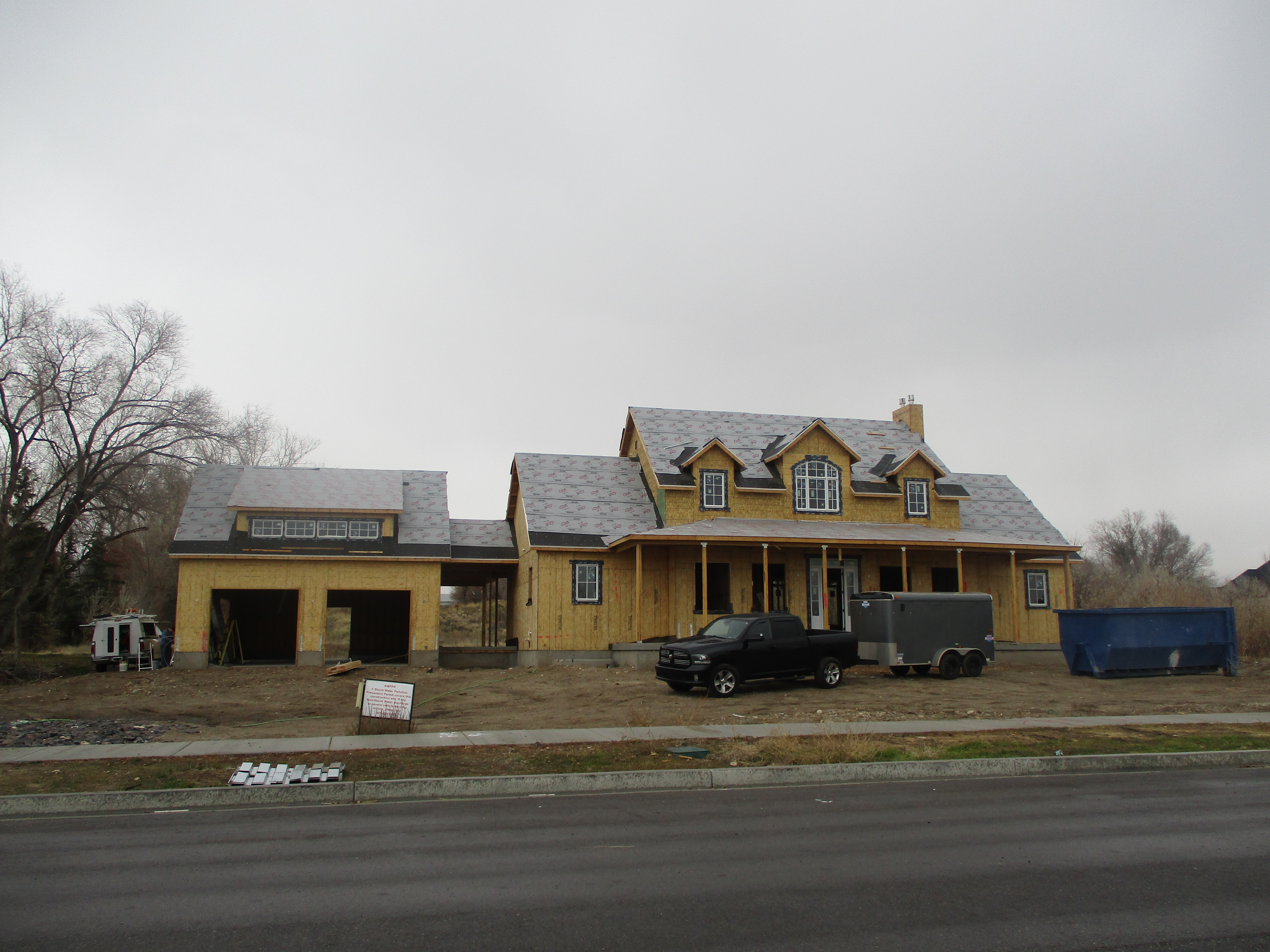
Total Photos: 2
|
| |
|
|
| Property Address: 793 W 1000 NORTH CIR - AMERICAN FORK |
|
| Mailing Address: 793 W 1000 N CIR AMERICAN FORK, UT 84003 |
|
| Acreage: 1.416576 |
|
| Last Document:
25585-2017
|
|
| Subdivision Map Filing |
|
| Legal Description:
LOT 104, PLAT B, MITCHELL MEADOWS SUB AREA 1.417 AC. |
|
- Owner Names
- Value History
- Tax History
- Location
- Photos
- Documents
- Aerial Image
| |
----- Real Estate Values ----- |
---Improvements--- |
---Greenbelt--- |
Total |
| Year |
Com |
Res |
Agr |
Tot |
Com |
Res |
Agr |
Tot |
Land |
Homesite |
Tot |
Market Value |
| 2024 |
$0 |
$381,800 |
$72,700 |
$454,500 |
$0 |
$1,244,000 |
$0 |
$1,244,000 |
$0 |
$0 |
$0 |
$1,698,500 |
| 2023 |
$0 |
$347,100 |
$66,100 |
$413,200 |
$0 |
$1,275,400 |
$0 |
$1,275,400 |
$0 |
$0 |
$0 |
$1,688,600 |
| 2022 |
$0 |
$365,000 |
$69,500 |
$434,500 |
$0 |
$1,126,000 |
$0 |
$1,126,000 |
$0 |
$0 |
$0 |
$1,560,500 |
| 2021 |
$0 |
$280,800 |
$36,600 |
$317,400 |
$0 |
$826,800 |
$0 |
$826,800 |
$0 |
$0 |
$0 |
$1,144,200 |
| 2020 |
$0 |
$260,000 |
$33,300 |
$293,300 |
$0 |
$787,400 |
$0 |
$787,400 |
$0 |
$0 |
$0 |
$1,080,700 |
| 2019 |
$0 |
$260,000 |
$45,800 |
$305,800 |
$0 |
$424,200 |
$0 |
$424,200 |
$0 |
$0 |
$0 |
$730,000 |
| 2018 |
$0 |
$250,000 |
$45,800 |
$295,800 |
$0 |
$0 |
$0 |
$0 |
$0 |
$0 |
$0 |
$295,800 |
| 2017 |
$0 |
$205,000 |
$33,300 |
$238,300 |
$0 |
$0 |
$0 |
$0 |
$0 |
$0 |
$0 |
$238,300 |
| Year |
General Taxes |
Adjustments |
Net Taxes |
Fees |
Payments |
Tax Balance* |
Balance Due |
Tax District |
| 2025 |
$0.00 |
$0.00 |
$0.00 |
$0.00 |
|
$0.00
|
$0.00 |
060 - AMERICAN FORK CITY |
| 2024 |
$8,702.01 |
$0.00 |
$8,702.01 |
$0.00 |
|
$0.00
|
$0.00 |
060 - AMERICAN FORK CITY |
| 2023 |
$8,136.49 |
$0.00 |
$8,136.49 |
$0.00 |
|
$0.00
|
$0.00 |
060 - AMERICAN FORK CITY |
| 2022 |
$7,651.91 |
$0.00 |
$7,651.91 |
$0.00 |
|
$0.00
|
$0.00 |
060 - AMERICAN FORK CITY |
| 2021 |
$6,466.20 |
$0.00 |
$6,466.20 |
$0.00 |
|
$0.00
|
$0.00 |
060 - AMERICAN FORK CITY |
| 2020 |
$6,291.14 |
$0.00 |
$6,291.14 |
$0.00 |
|
$0.00
|
$0.00 |
060 - AMERICAN FORK CITY |
| 2019 |
$4,213.50 |
$0.00 |
$4,213.50 |
$0.00 |
|
$0.00
|
$0.00 |
060 - AMERICAN FORK CITY |
| 2018 |
$3,088.15 |
$0.00 |
$3,088.15 |
$0.00 |
|
$0.00
|
$0.00 |
060 - AMERICAN FORK CITY |
| 2017 |
$2,535.27 |
$0.00 |
$2,535.27 |
$0.00 |
|
$0.00
|
$0.00 |
060 - AMERICAN FORK CITY |
|
*The visual representation is a sum of taxes for the year(s) selected and is for reference only and no liability is assumed for any inaccuracies, incorrect data or variations.
|
|
* Note: Original tax amount (Does not include applicable interest and/or fees).
| Entry # |
Date |
Recorded |
Type |
Party1 (Grantor) |
Party2 (Grantee) |
| 61409-2021 |
03/19/2021 |
03/31/2021 |
REC |
MORAN, KEVIN P TEE |
WATSON, JEREMY & EMILE |
| 61408-2021 |
03/11/2021 |
03/31/2021 |
SUB TEE |
MORTGAGE ELECTRONIC REGISTRATION SYSTEMS INC |
MORAN, KEVIN P SUBTEE |
| 38067-2021 |
02/24/2021 |
03/01/2021 |
D TR |
WATSON, JEREMY & EMILIE |
FAIRWAY INDEPENDENT MORTGAGE CORPORATION |
| 68228-2019 |
06/28/2019 |
07/22/2019 |
MOD AGR |
WATSON, JEREMY & EMILIE |
MOUNTAIN AMERICA CREDIT UNION |
| 63970-2018 |
07/06/2018 |
07/09/2018 |
D TR |
WATSON, JEREMY & EMILIE |
MOUNTAIN AMERICA FEDERAL CREDIT UNION |
| 35825-2017 |
03/23/2017 |
04/14/2017 |
P REC |
CENTRAL BANK TEE |
G A R MEDICAL AND MANAGEMENT INC |
| 25586-2017 |
03/16/2017 |
03/16/2017 |
VAC EAS |
G A R MEDICAL AND MANAGEMENT INC |
WATSON, JEREMY & EMILIE |
| 25585-2017 |
03/16/2017 |
03/16/2017 |
WD |
G A R MEDICAL AND MANAGEMENT INC |
WATSON, JEREMY & EMILIE |
| 116769-2016 |
11/18/2016 |
11/18/2016 |
R FARM |
UTAH COUNTY TREASURER |
RICHARDS, GUY A & GUY E |
| 116768-2016 |
11/18/2016 |
11/18/2016 |
R FARM |
UTAH COUNTY TREASURER |
RICHARDS, GUY A & GUY E |
| 105113-2016 |
10/13/2016 |
10/20/2016 |
W FARM |
G A R MEDICAL AND MANAGEMENT INC (ET AL) |
WHOM OF INTEREST |
| 84235-2016 |
06/28/2016 |
08/31/2016 |
S PLAT |
GSR PROPERTIES LLC (ET AL) |
MITCHELL MEADOWS PLAT B |
Main Menu Comments or Concerns on Value/Appraisal - Assessor's Office
Documents/Owner/Parcel information - Recorder's Office
Address Change for Tax Notice
This page was created on 2/1/2025 10:48:51 PM |