Property Information
| Serial Number: 14:003:0399 |
Serial Life: 2021... |
|
|
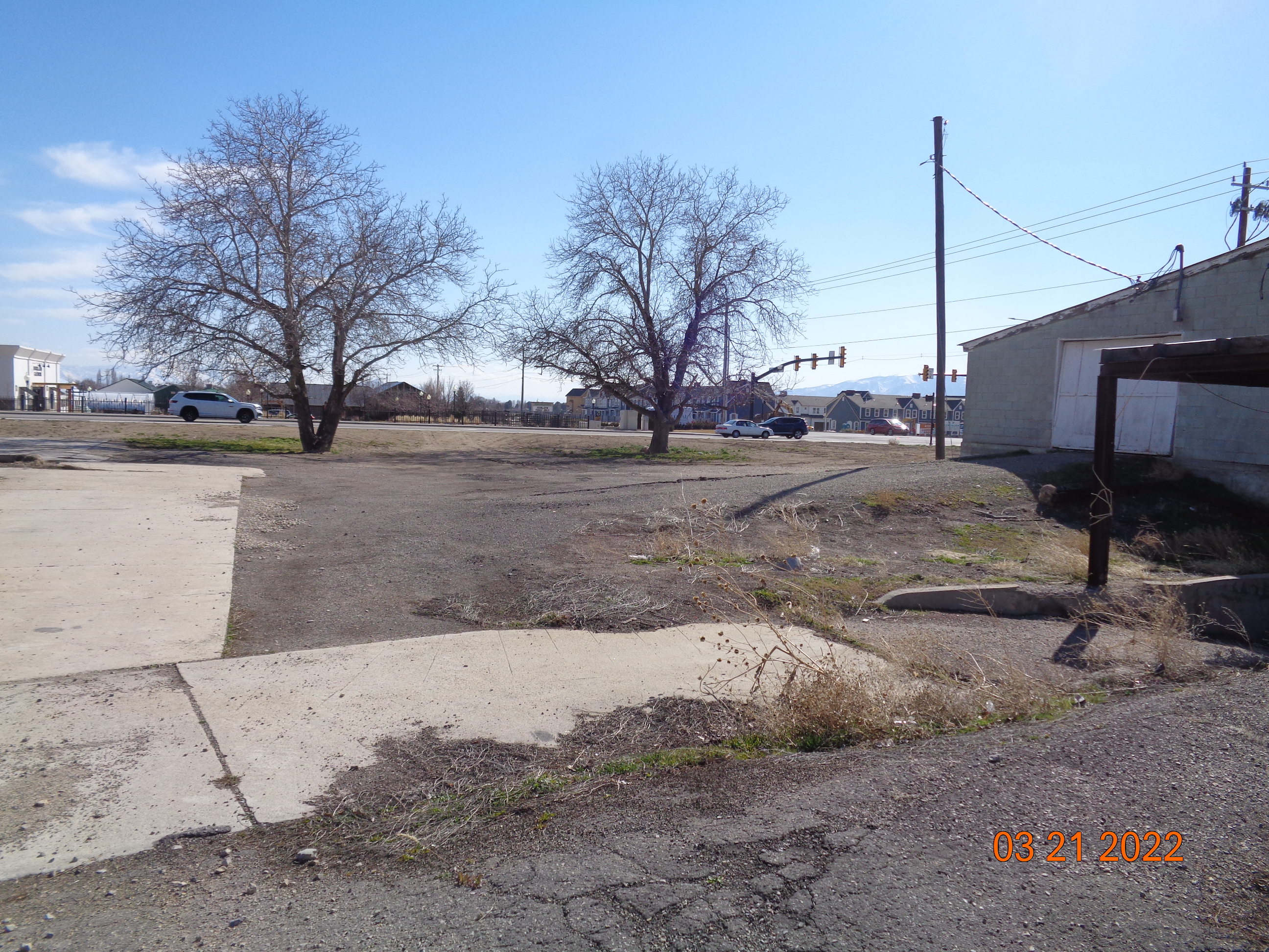
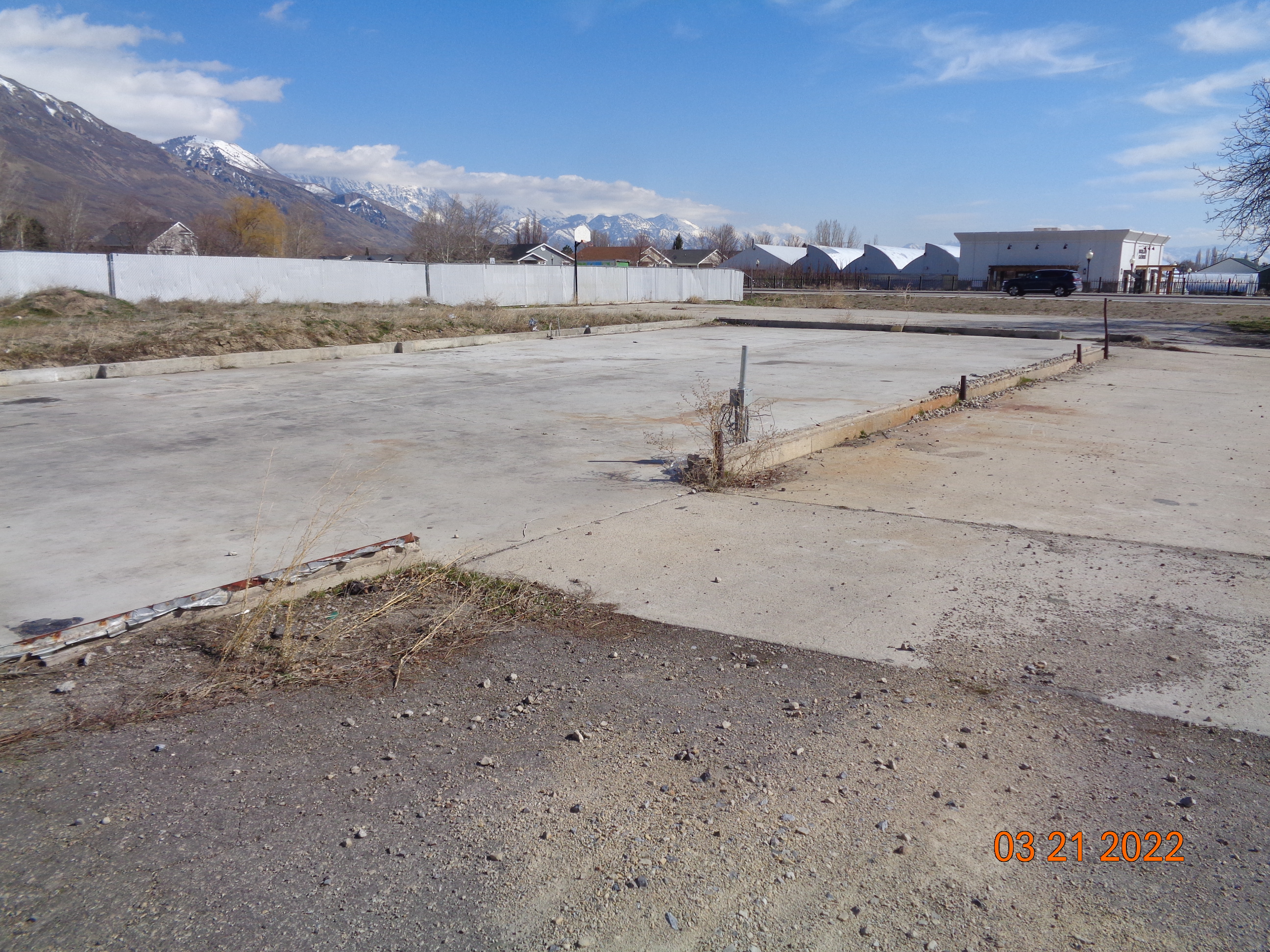
Total Photos: 2
|
| |
|
|
| Property Address: 9826 N 4800 WEST - AMERICAN FORK DISTR |
|
| Mailing Address: 1835 S HIGHWAY 89 BRIGHAM CITY, UT 84302 |
|
| Acreage: 0.978497 |
|
| Last Document:
152841-2021
|
|
| Subdivision Map Filing |
|
| Legal Description:
COM N 0 DEG 6' 11" W 1356.15 FT ALONG SEC. LINE & E 69.61 FT & N 37.07 FT FR SW COR. SEC. 6, T5S, R2E, SLB&M.; N 49 DEG 16' 47" W 32.37 FT; ALONG A CURVE TO R (CHORD BEARS: N 0 DEG 12' 9" W 160.95 FT, RADIUS = 19934.04 FT); E 235.87 FT; S 182.4 FT; ALONG A CURVE TO L (CHORD BEARS: N 89 DEG 5' 49" W 21.15 FT, RADIUS = 671 FT); W 189.62 FT TO BEG. AREA 0.978 AC. |
|
- Owner Names
- Value History
- Tax History
- Location
- Photos
- Documents
- Aerial Image
| |
----- Real Estate Values ----- |
---Improvements--- |
---Greenbelt--- |
Total |
| Year |
Com |
Res |
Agr |
Tot |
Com |
Res |
Agr |
Tot |
Land |
Homesite |
Tot |
Market Value |
| 2024 |
$696,400 |
$0 |
$0 |
$696,400 |
$17,800 |
$0 |
$0 |
$17,800 |
$0 |
$0 |
$0 |
$714,200 |
| 2023 |
$651,500 |
$0 |
$0 |
$651,500 |
$16,100 |
$0 |
$0 |
$16,100 |
$0 |
$0 |
$0 |
$667,600 |
| 2022 |
$629,000 |
$0 |
$0 |
$629,000 |
$14,900 |
$0 |
$0 |
$14,900 |
$0 |
$0 |
$0 |
$643,900 |
| Year |
General Taxes |
Adjustments |
Net Taxes |
Fees |
Payments |
Tax Balance* |
Balance Due |
Tax District |
| 2025 |
$0.00 |
$0.00 |
$0.00 |
$0.00 |
|
$0.00
|
$0.00 |
020 - NORTH UT CO WT CONS S/A 6-7-8 |
| 2024 |
$6,194.97 |
$0.00 |
$6,194.97 |
$0.00 |
|
$0.00
|
$0.00 |
020 - NORTH UT CO WT CONS S/A 6-7-8 |
| 2023 |
$5,408.23 |
$0.00 |
$5,408.23 |
$0.00 |
|
$0.00
|
$0.00 |
020 - NORTH UT CO WT CONS S/A 6-7-8 |
| 2022 |
$5,364.97 |
$2,146.33 |
$7,511.30 |
$0.00 |
|
$0.00
|
$0.00 |
020 - NORTH UT CO WT CONS S/A 6-7-8 |
|
*The visual representation is a sum of taxes for the year(s) selected and is for reference only and no liability is assumed for any inaccuracies, incorrect data or variations.
|
|
* Note: Original tax amount (Does not include applicable interest and/or fees).
| Entry # |
Date |
Recorded |
Type |
Party1 (Grantor) |
Party2 (Grantee) |
| 152934-2021 |
09/01/2021 |
09/01/2021 |
TR D |
C & N TAYLORSVILLE LLC |
KVSJ INVESTMENT CO LTD |
| 152841-2021 |
06/22/2021 |
09/01/2021 |
SP WD |
UTAH COUNTY |
C & N TAYLORSVILLE LLC |
| 57156-2020 |
04/24/2020 |
04/29/2020 |
REC |
AMERICA FIRST FEDERAL CREDIT UNION TEE |
SMITH, LANSING L & CAROLINE H |
| 24933-2020 |
02/19/2020 |
02/27/2020 |
EAS |
SMITH, LANSING L & CAROLINE H |
UTAH COUNTY |
| 24932-2020 |
02/19/2020 |
02/27/2020 |
EAS |
SMITH, LANSING L & CAROLINE H |
UTAH COUNTY |
| 24931-2020 |
02/19/2020 |
02/27/2020 |
WD |
SMITH, LANSING L & CAROLINE H |
UTAH COUNTY |
Main Menu Comments or Concerns on Value/Appraisal - Assessor's Office
Documents/Owner/Parcel information - Recorder's Office
Address Change for Tax Notice
This page was created on 2/13/2025 6:37:40 AM |

