Property Information
| Serial Number: 14:070:0324 |
Serial Life: 2017-2018 |
|
|
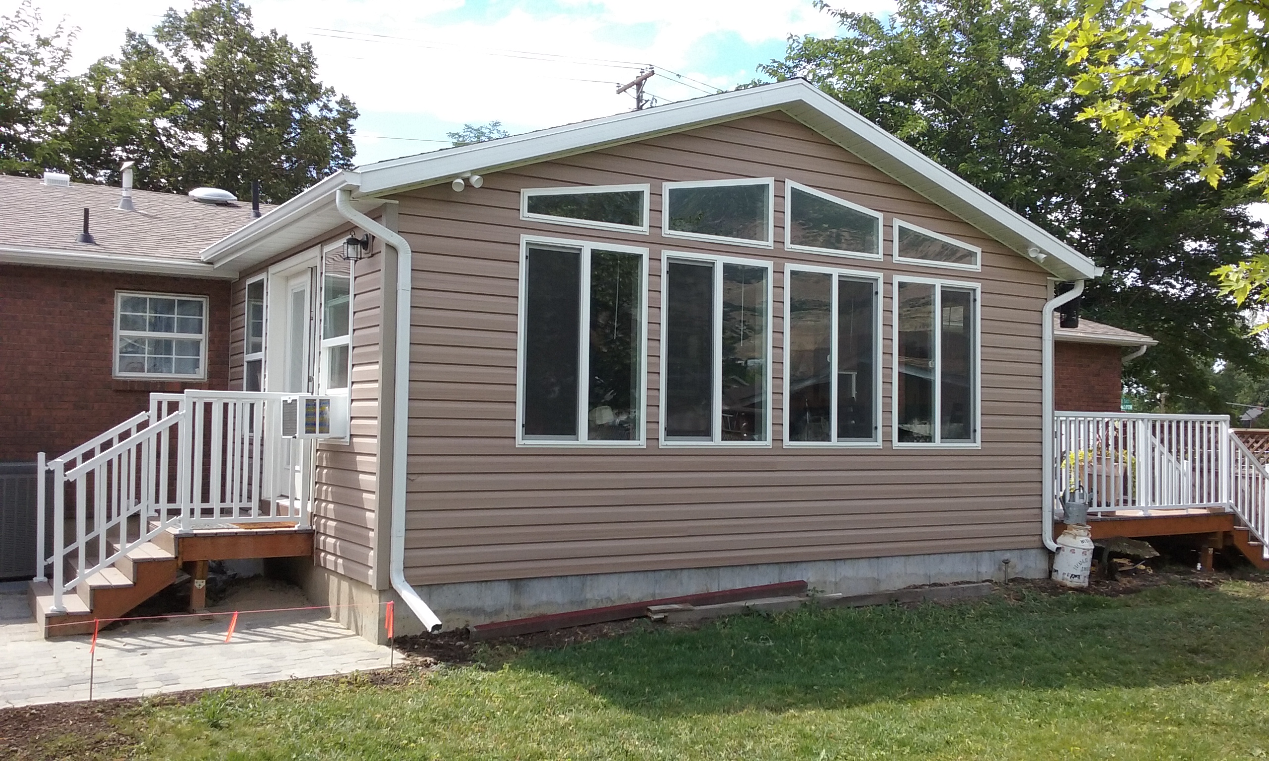
Total Photos: 3
|
| |
|
|
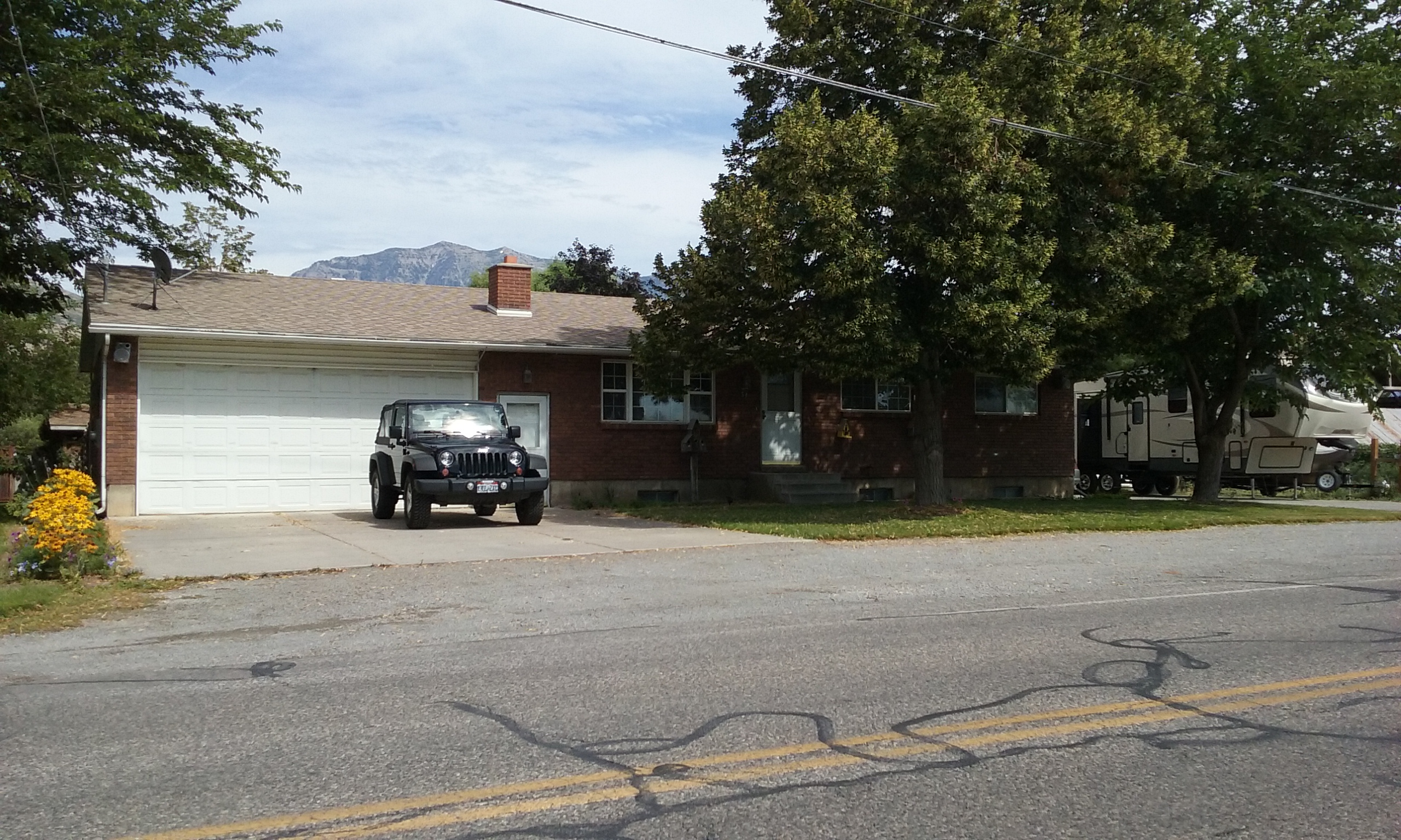
| Property Address: 54 N 200 EAST - LINDON |
|
| Mailing Address: 54 N 200 E LINDON, UT 84042-2011 |
|
| Acreage: 0.488474 |
|
| Last Document:
79268-2016
|
|
| Subdivision Map Filing |
|
| Legal Description:
COM S 0 DEG 11' 51" E 863.13 FT ALONG SEC. LINE & E 1290.13 FT FR S 1/4 COR. SEC. 34, T5S, R2E, SLB&M.; N 0 DEG 21' 40" E 191.43 FT; S 89 DEG 7' 19" E 112 FT; S 0 DEG 51' 45" W 191.61 FT; N 89 DEG 1' 20" W 110.33 FT TO BEG. AREA 0.488 AC. |
|
- Owner Names
- Value History
- Tax History
- Location
- Photos
- Documents
- Aerial Image
| |
----- Real Estate Values ----- |
---Improvements--- |
---Greenbelt--- |
Total |
| Year |
Com |
Res |
Agr |
Tot |
Com |
Res |
Agr |
Tot |
Land |
Homesite |
Tot |
Market Value |
| 2018 |
$0 |
$136,700 |
$0 |
$136,700 |
$0 |
$230,300 |
$0 |
$230,300 |
$0 |
$0 |
$0 |
$367,000 |
| 2017 |
$0 |
$115,300 |
$0 |
$115,300 |
$0 |
$177,100 |
$0 |
$177,100 |
$0 |
$0 |
$0 |
$292,400 |
| Year |
General Taxes |
Adjustments |
Net Taxes |
Fees |
Payments |
Tax Balance* |
Balance Due |
Tax District |
| 2018 |
$1,965.21 |
$0.00 |
$1,965.21 |
$0.00 |
|
$0.00
|
$0.00 |
080 - LINDON CITY |
| 2017 |
$1,606.11 |
$0.00 |
$1,606.11 |
$0.00 |
|
$0.00
|
$0.00 |
080 - LINDON CITY |
|
*The visual representation is a sum of taxes for the year(s) selected and is for reference only and no liability is assumed for any inaccuracies, incorrect data or variations.
|
|
* Note: Original tax amount (Does not include applicable interest and/or fees).
| Entry # |
Date |
Recorded |
Type |
Party1 (Grantor) |
Party2 (Grantee) |
| 53722-2018 |
06/08/2018 |
06/08/2018 |
N SPREC |
UTAH COUNTY RECORDER |
WHOM OF INTEREST |
| 91786-2016 |
09/09/2016 |
09/20/2016 |
AF DC |
SHOELL, JUNIUS LELAND & JUNIUS L AKA (ET AL) |
BULLOCK, SHAREE SUCTEE |
| 79268-2016 |
08/19/2016 |
08/19/2016 |
QCD |
BULLOCK, JON B & SHAREE TEE (ET AL) |
BULLOCK, JON B & SHAREE TEE (ET AL) |
Main Menu Comments or Concerns on Value/Appraisal - Assessor's Office
Documents/Owner/Parcel information - Recorder's Office
Address Change for Tax Notice
This page was created on 2/7/2025 4:54:19 PM |


