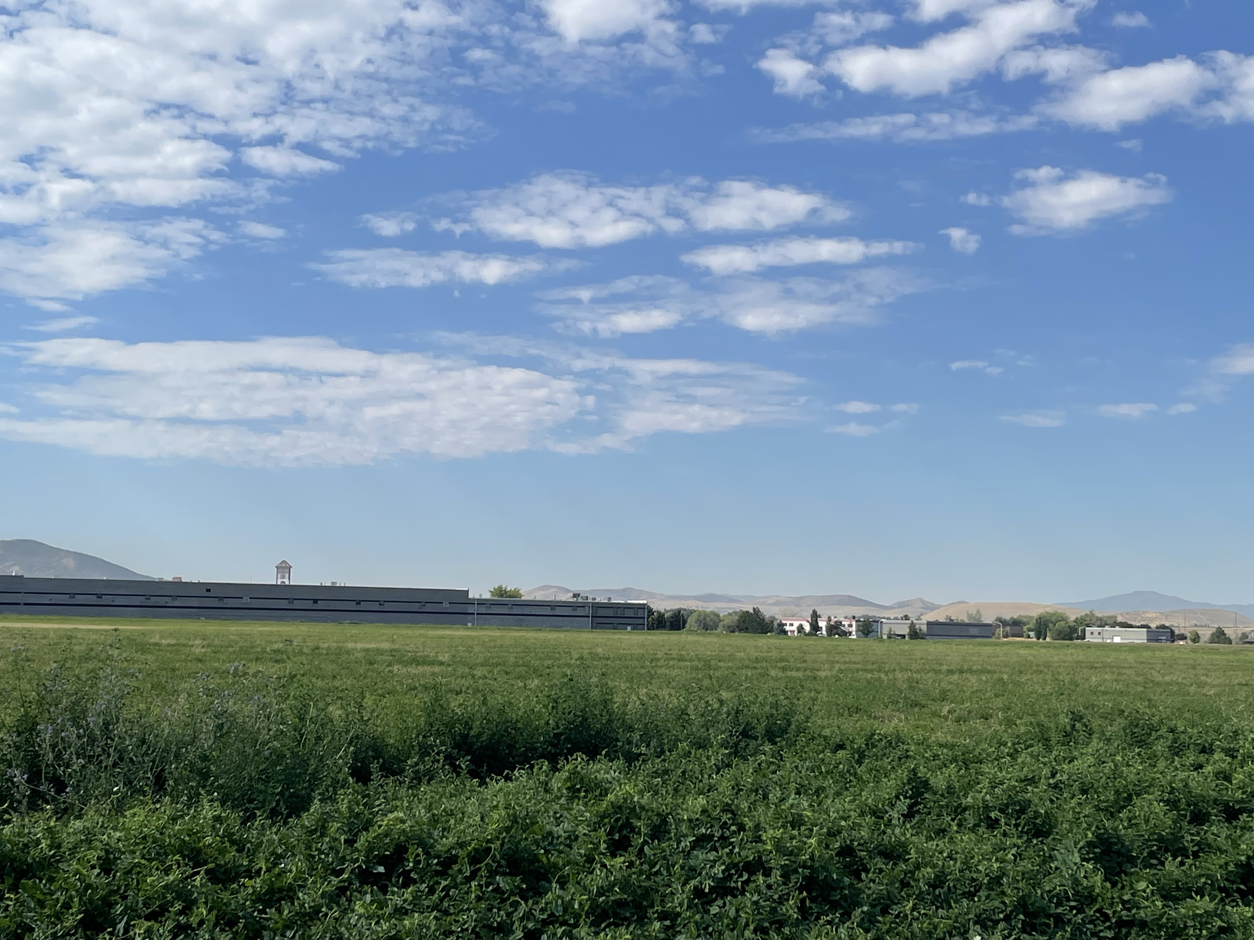
Property Information
| Serial Number: 30:062:0048 |
Serial Life: 2015-2023 |
|
|

Total Photos: 4
|
| |
|
|
| Property Address: 475 S 1430 WEST - PAYSON |
|
| Mailing Address: 7700 COTTONWOOD ST FRISCO, TX 75033 |
|
| Acreage: 32.59972 |
|
| Last Document:
77277-2014
|
|
| Subdivision Map Filing |
|
| Legal Description:
COM S 716.97 FT & E 290.7 FT FR N 1/4 COR. SEC. 18, T9S, R2E, SLB&M.; S 89 DEG 15' 0" E 620.33 FT; S 0 DEG 45' 0" W 709 FT; S 89 DEG 15' 0" E 910.59 FT; S 37 DEG 49' 41" W 740.5 FT ALONG RAILROAD R OF W; N 88 DEG 55' 29" W 1380.51 FT; N 95.82 FT; S 89 DEG 53' 52" W 17.31 FT; N 0 DEG 37' 0" E 578.1 FT; S 88 DEG 55' 0" E 311.6 FT; N 1 DEG 9' 0" E 620.11 FT TO BEG. AREA 32.600 AC. |
|
- Owner Names
- Value History
- Tax History
- Location
- Photos
- Documents
- Aerial Image
| |
----- Real Estate Values ----- |
---Improvements--- |
---Greenbelt--- |
Total |
| Year |
Com |
Res |
Agr |
Tot |
Com |
Res |
Agr |
Tot |
Land |
Homesite |
Tot |
Market Value |
| 2023 |
$5,793,800 |
$0 |
$0 |
$5,793,800 |
$0 |
$0 |
$0 |
$0 |
$65,751 |
$0 |
$65,751 |
$5,793,800 |
| 2022 |
$9,024,200 |
$0 |
$0 |
$9,024,200 |
$0 |
$0 |
$0 |
$0 |
$65,079 |
$0 |
$65,079 |
$9,024,200 |
| 2021 |
$3,522,200 |
$0 |
$0 |
$3,522,200 |
$0 |
$0 |
$0 |
$0 |
$59,155 |
$0 |
$59,155 |
$3,522,200 |
| 2020 |
$4,157,100 |
$0 |
$0 |
$4,157,100 |
$0 |
$0 |
$0 |
$0 |
$59,025 |
$0 |
$59,025 |
$4,157,100 |
| 2019 |
$4,000,000 |
$0 |
$0 |
$4,000,000 |
$0 |
$0 |
$0 |
$0 |
$61,690 |
$0 |
$61,690 |
$4,000,000 |
| 2018 |
$2,178,200 |
$0 |
$0 |
$2,178,200 |
$0 |
$0 |
$0 |
$0 |
$62,902 |
$0 |
$62,902 |
$2,178,200 |
| 2017 |
$2,720,900 |
$0 |
$0 |
$2,720,900 |
$0 |
$0 |
$0 |
$0 |
$61,410 |
$0 |
$61,410 |
$2,720,900 |
| 2016 |
$2,595,100 |
$0 |
$0 |
$2,595,100 |
$0 |
$0 |
$0 |
$0 |
$60,921 |
$0 |
$60,921 |
$2,595,100 |
| 2015 |
$2,507,900 |
$0 |
$0 |
$2,507,900 |
$0 |
$0 |
$0 |
$0 |
$23,798 |
$0 |
$23,798 |
$2,507,900 |
| Year |
General Taxes |
Adjustments |
Net Taxes |
Fees |
Payments |
Tax Balance* |
Balance Due |
Tax District |
| 2023 |
$644.29 |
$0.00 |
$644.29 |
$0.00 |
|
$0.00
|
$0.00 |
170 - PAYSON CITY |
| 2022 |
$648.38 |
$0.00 |
$648.38 |
$0.00 |
|
$0.00
|
$0.00 |
170 - PAYSON CITY |
| 2021 |
$668.10 |
$0.00 |
$668.10 |
$0.00 |
|
$0.00
|
$0.00 |
170 - PAYSON CITY |
| 2020 |
$681.38 |
$0.00 |
$681.38 |
$0.00 |
|
$0.00
|
$0.00 |
170 - PAYSON CITY |
| 2019 |
$694.63 |
$0.00 |
$694.63 |
$0.00 |
|
$0.00
|
$0.00 |
170 - PAYSON CITY |
| 2018 |
$734.88 |
$0.00 |
$734.88 |
$0.00 |
|
$0.00
|
$0.00 |
170 - PAYSON CITY |
| 2017 |
$733.67 |
$0.00 |
$733.67 |
$0.00 |
|
$0.00
|
$0.00 |
170 - PAYSON CITY |
| 2016 |
$732.64 |
$0.00 |
$732.64 |
$0.00 |
|
$0.00
|
$0.00 |
170 - PAYSON CITY |
| 2015 |
$288.17 |
$0.00 |
$288.17 |
$0.00 |
|
$0.00
|
$0.00 |
170 - PAYSON CITY |
|
*The visual representation is a sum of taxes for the year(s) selected and is for reference only and no liability is assumed for any inaccuracies, incorrect data or variations.
|
|
* Note: Original tax amount (Does not include applicable interest and/or fees).
| Entry # |
Date |
Recorded |
Type |
Party1 (Grantor) |
Party2 (Grantee) |
| 72482-2023 |
10/05/2023 |
11/03/2023 |
QCD |
RICH, STEPHEN R C G PTNR (ET AL) |
RICH, STEPHEN R C G PTNR (ET AL) |
| 72481-2023 |
09/11/2023 |
11/03/2023 |
QCD |
PARKER, WAYNE J & GLADYS JEANETTE Y TEE (ET AL) |
RUSSELL R RICH FAMILY LIMITED PARTNERSHIP THE BY (ET AL) |
| 72366-2023 |
07/08/2023 |
11/03/2023 |
EAS |
RICH, STEPHEN R C G PTNR (ET AL) |
PARKER, WAYNE J & GLADYS JEANETTE Y TEE (ET AL) |
| 27535-2018 |
03/07/2018 |
03/23/2018 |
ORDIN |
PAYSON CITY CORPORATION |
WHOM OF INTEREST |
| 101468-2017 |
10/12/2017 |
10/13/2017 |
REC |
NORTH AMERICAN TITLE COMPANY TEE |
REDEVELOPMENT AGENCY OF PAYSON CITY THE |
| 101467-2017 |
08/03/2017 |
10/13/2017 |
SUB TEE |
SPENCER, BLAINE HARLEN TEE (ET AL) |
NORTH AMERICAN TITLE COMPANY SUCTEE |
| 11575-2015 |
12/09/2014 |
02/17/2015 |
FARM |
RUSSELL R RICH FAMILY LIMITED PARTNERSHIP BY (ET AL) |
WHOM OF INTEREST |
| 3187-2015 |
12/04/2014 |
01/14/2015 |
QCD |
UNITED STATES OF AMERICA |
SOUTH UTAH VALLEY ELECTRIC SERVICE DISTRICT |
| 77277-2014 |
10/27/2014 |
10/28/2014 |
WD |
RUSSELL R RICH FAMILY LIMITED PARTNERSHIP BY (ET AL) |
LOAFER MOUNTAIN ENTERPRISES LC |
Main Menu Comments or Concerns on Value/Appraisal - Assessor's Office
Documents/Owner/Parcel information - Recorder's Office
Address Change for Tax Notice
This page was created on 12/23/2024 1:36:52 PM |