Property Information
| Serial Number: 35:450:0020 |
Serial Life: 2005... |
|
|
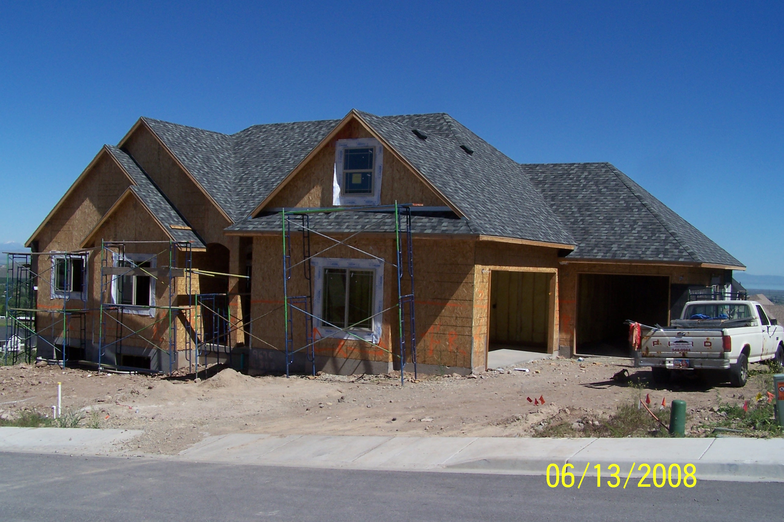
Total Photos: 1
|
| |
|
|
| Property Address: 967 E 430 SOUTH - SANTAQUIN |
|
| Mailing Address: 967 E 430 S SANTAQUIN, UT 84655-5504 |
|
| Acreage: 0.284 |
|
| Last Document:
25510-2007
|
|
| Subdivision Map Filing |
|
| Legal Description:
LOT 20, PLAT C, BLACK HAWK RIDGE PD SUBDV. AREA 0.284 AC. |
|
- Owner Names
- Value History
- Tax History
- Location
- Photos
- Documents
- Aerial Image
| |
----- Real Estate Values ----- |
---Improvements--- |
---Greenbelt--- |
Total |
| Year |
Com |
Res |
Agr |
Tot |
Com |
Res |
Agr |
Tot |
Land |
Homesite |
Tot |
Market Value |
| 2024 |
$0 |
$180,400 |
$0 |
$180,400 |
$0 |
$403,400 |
$0 |
$403,400 |
$0 |
$0 |
$0 |
$583,800 |
| 2023 |
$0 |
$180,300 |
$0 |
$180,300 |
$0 |
$422,900 |
$0 |
$422,900 |
$0 |
$0 |
$0 |
$603,200 |
| 2022 |
$0 |
$192,200 |
$0 |
$192,200 |
$0 |
$414,700 |
$0 |
$414,700 |
$0 |
$0 |
$0 |
$606,900 |
| 2021 |
$0 |
$91,500 |
$0 |
$91,500 |
$0 |
$339,600 |
$0 |
$339,600 |
$0 |
$0 |
$0 |
$431,100 |
| 2020 |
$0 |
$79,600 |
$0 |
$79,600 |
$0 |
$323,400 |
$0 |
$323,400 |
$0 |
$0 |
$0 |
$403,000 |
| 2019 |
$0 |
$79,600 |
$0 |
$79,600 |
$0 |
$281,200 |
$0 |
$281,200 |
$0 |
$0 |
$0 |
$360,800 |
| 2018 |
$0 |
$75,800 |
$0 |
$75,800 |
$0 |
$281,200 |
$0 |
$281,200 |
$0 |
$0 |
$0 |
$357,000 |
| 2017 |
$0 |
$73,500 |
$0 |
$73,500 |
$0 |
$281,200 |
$0 |
$281,200 |
$0 |
$0 |
$0 |
$354,700 |
| 2016 |
$0 |
$64,400 |
$0 |
$64,400 |
$0 |
$281,200 |
$0 |
$281,200 |
$0 |
$0 |
$0 |
$345,600 |
| 2015 |
$0 |
$56,100 |
$0 |
$56,100 |
$0 |
$281,200 |
$0 |
$281,200 |
$0 |
$0 |
$0 |
$337,300 |
| 2014 |
$0 |
$50,000 |
$0 |
$50,000 |
$0 |
$281,200 |
$0 |
$281,200 |
$0 |
$0 |
$0 |
$331,200 |
| 2013 |
$0 |
$36,400 |
$0 |
$36,400 |
$0 |
$281,200 |
$0 |
$281,200 |
$0 |
$0 |
$0 |
$317,600 |
| 2012 |
$0 |
$36,400 |
$0 |
$36,400 |
$0 |
$268,000 |
$0 |
$268,000 |
$0 |
$0 |
$0 |
$304,400 |
| 2011 |
$0 |
$41,500 |
$0 |
$41,500 |
$0 |
$280,500 |
$0 |
$280,500 |
$0 |
$0 |
$0 |
$322,000 |
| 2010 |
$0 |
$49,219 |
$0 |
$49,219 |
$0 |
$280,526 |
$0 |
$280,526 |
$0 |
$0 |
$0 |
$329,745 |
| 2009 |
$0 |
$60,700 |
$0 |
$60,700 |
$0 |
$286,400 |
$0 |
$286,400 |
$0 |
$0 |
$0 |
$347,100 |
| 2008 |
$0 |
$85,000 |
$0 |
$85,000 |
$0 |
$0 |
$0 |
$0 |
$0 |
$0 |
$0 |
$85,000 |
| 2007 |
$0 |
$76,800 |
$0 |
$76,800 |
$0 |
$0 |
$0 |
$0 |
$0 |
$0 |
$0 |
$76,800 |
| 2006 |
$0 |
$64,000 |
$0 |
$64,000 |
$0 |
$0 |
$0 |
$0 |
$0 |
$0 |
$0 |
$64,000 |
| 2005 |
$0 |
$45,000 |
$0 |
$45,000 |
$0 |
$0 |
$0 |
$0 |
$0 |
$0 |
$0 |
$45,000 |
| Year |
General Taxes |
Adjustments |
Net Taxes |
Fees |
Payments |
Tax Balance* |
Balance Due |
Tax District |
| 2025 |
$0.00 |
$0.00 |
$0.00 |
$0.00 |
|
$0.00
|
$0.00 |
190 - SANTAQUIN CITY |
| 2024 |
$3,224.39 |
$0.00 |
$3,224.39 |
$0.00 |
|
$0.00
|
$0.00 |
190 - SANTAQUIN CITY |
| 2023 |
$3,320.92 |
$0.00 |
$3,320.92 |
$0.00 |
|
$0.00
|
$0.00 |
190 - SANTAQUIN CITY |
| 2022 |
$3,239.48 |
$0.00 |
$3,239.48 |
$0.00 |
|
$0.00
|
$0.00 |
190 - SANTAQUIN CITY |
| 2021 |
$2,698.97 |
$0.00 |
$2,698.97 |
$0.00 |
|
$0.00
|
$0.00 |
190 - SANTAQUIN CITY |
| 2020 |
$2,603.72 |
$0.00 |
$2,603.72 |
$0.00 |
|
$0.00
|
$0.00 |
190 - SANTAQUIN CITY |
| 2019 |
$2,279.48 |
$0.00 |
$2,279.48 |
$0.00 |
|
$0.00
|
$0.00 |
190 - SANTAQUIN CITY |
| 2018 |
$2,365.43 |
$0.00 |
$2,365.43 |
$0.00 |
|
$0.00
|
$0.00 |
190 - SANTAQUIN CITY |
| 2017 |
$2,419.25 |
$0.00 |
$2,419.25 |
$0.00 |
|
$0.00
|
$0.00 |
190 - SANTAQUIN CITY |
| 2016 |
$2,405.65 |
$0.00 |
$2,405.65 |
$0.00 |
|
$0.00
|
$0.00 |
190 - SANTAQUIN CITY |
| 2015 |
$2,393.89 |
$0.00 |
$2,393.89 |
$0.00 |
|
$0.00
|
$0.00 |
190 - SANTAQUIN CITY |
| 2014 |
$2,355.33 |
$0.00 |
$2,355.33 |
$0.00 |
|
$0.00
|
$0.00 |
190 - SANTAQUIN CITY |
| 2013 |
$2,382.46 |
$0.00 |
$2,382.46 |
$0.00 |
|
$0.00
|
$0.00 |
190 - SANTAQUIN CITY |
| 2012 |
$2,211.79 |
$0.00 |
$2,211.79 |
$0.00 |
|
$0.00
|
$0.00 |
190 - SANTAQUIN CITY |
| 2011 |
$2,298.40 |
$0.00 |
$2,298.40 |
$0.00 |
|
$0.00
|
$0.00 |
190 - SANTAQUIN CITY |
| 2010 |
$2,278.78 |
$0.00 |
$2,278.78 |
$0.00 |
|
$0.00
|
$0.00 |
190 - SANTAQUIN CITY |
| 2009 |
$2,267.00 |
$0.00 |
$2,267.00 |
$0.00 |
|
$0.00
|
$0.00 |
190 - SANTAQUIN CITY |
| 2008 |
$932.88 |
$0.00 |
$932.88 |
$0.00 |
|
$0.00
|
$0.00 |
190 - SANTAQUIN CITY |
| 2007 |
$836.20 |
$0.00 |
$836.20 |
$0.00 |
|
$0.00
|
$0.00 |
190 - SANTAQUIN CITY |
| 2006 |
$780.67 |
$0.00 |
$780.67 |
$0.00 |
|
$0.00
|
$0.00 |
190 - SANTAQUIN CITY |
| 2005 |
$582.89 |
$0.00 |
$582.89 |
$0.00 |
|
$0.00
|
$0.00 |
190 - SANTAQUIN CITY |
|
*The visual representation is a sum of taxes for the year(s) selected and is for reference only and no liability is assumed for any inaccuracies, incorrect data or variations.
|
|
* Note: Original tax amount (Does not include applicable interest and/or fees).
| Entry # |
Date |
Recorded |
Type |
Party1 (Grantor) |
Party2 (Grantee) |
| 51479-2013 |
05/10/2013 |
05/28/2013 |
REC |
HALLIDAY, PAUL M JR SUCTEE |
NEIUFI, DENIECE |
| 51478-2013 |
04/29/2013 |
05/28/2013 |
SUB TEE |
MORTGAGE ELECTRONIC REGISTRATION SYSTEMS INC |
HALLIDAY, PAUL M JR SUBTEE |
| 28011-2013 |
01/25/2013 |
03/25/2013 |
D TR |
NEIUFI, DENIECE & TUITUIOHO |
U S BANK |
| 130104-2008 |
12/10/2008 |
12/12/2008 |
REC |
FOXLEY, DOUGLAS S TEE |
NEIUFI, DENIECE |
| 122489-2008 |
11/12/2008 |
11/17/2008 |
D TR |
NEIUFI, DENIECE |
TAYLOR BEAN & WHITAKER CORP |
| 114949-2008 |
10/20/2008 |
10/22/2008 |
CT |
STATE OF UTAH |
WHOM OF INTEREST |
| 107508-2008 |
09/30/2008 |
09/30/2008 |
RESOL |
BOARD OF COUNTY COMMISSIONERS UTAH COUNTY |
WHOM OF INTEREST |
| 61376-2008 |
03/09/2008 |
05/27/2008 |
REC |
WESTERN COMMUNITY BANK TEE |
BLACKHAWK LLC |
| 174313-2007 |
12/14/2007 |
12/19/2007 |
REC |
FOXLEY, DOUGLAS S TEE |
NEIUFI, DENIECE E |
| 166928-2007 |
11/27/2007 |
11/29/2007 |
TR D |
NEIUFI, DENIECE |
BEEHIVE CREDIT UNION |
| 72904-2007 |
05/14/2007 |
05/17/2007 |
CT |
STATE OF UTAH |
WHOM OF INTEREST |
| 25537-2007 |
02/14/2007 |
02/20/2007 |
TR D |
NEIUFI, DE NIECE E |
BEEHIVE CREDIT UNION |
| 25510-2007 |
02/05/2007 |
02/20/2007 |
WD |
BLACKHAWK LLC |
NEIUFI, DE NIECE |
| 146041-2006 |
10/26/2006 |
11/01/2006 |
REC |
FAR WEST BANK TEE |
DICK, TODD |
| 142338-2006 |
10/24/2006 |
10/25/2006 |
D TR |
BLACKHAWK LLC |
WESTERN COMMUNITY BANK |
| 142337-2006 |
10/24/2006 |
10/25/2006 |
WD |
PEBBLE CREEK HOMES LLC |
BLACKHAWK LLC |
| 133715-2006 |
10/06/2006 |
10/10/2006 |
TR D |
PEBBLE CREEK HOMES LLC (ET AL) |
MARELKO |
| 133714-2006 |
10/06/2006 |
10/10/2006 |
TR D |
PEBBLE CREEK HOMES LLC (ET AL) |
DICK, TODD |
| 133713-2006 |
10/04/2006 |
10/10/2006 |
WD |
DICK, TODD |
PEBBLE CREEK HOMES LLC |
| 104976-2005 |
09/16/2005 |
09/19/2005 |
REC |
CENTRAL BANK TEE |
WASATCH HOMES AT UTAH COUNTY SOUTH LLC |
| 100167-2005 |
09/02/2005 |
09/07/2005 |
R NI |
STONE MOUNTAIN DEVELOPMENT LLC |
WHOM OF INTEREST |
| 100082-2005 |
09/01/2005 |
09/07/2005 |
D TR |
DICK, TODD |
FAR WEST BANK |
| 100081-2005 |
08/31/2005 |
09/07/2005 |
WD |
WOODRIVER DEVELOPMENT INC |
DICK, TODD |
| 100080-2005 |
08/31/2005 |
09/07/2005 |
WD |
WASATCH HOMES AT UTAH COUNTY SOUTH LLC |
WOODRIVER DEVELOPMENT INC |
| 76155-2005 |
07/11/2005 |
07/13/2005 |
NI |
STONE MOUNTAIN DEVELOPMENT LLC |
WHOM OF INTEREST |
| 74743-2005 |
07/11/2005 |
07/11/2005 |
CORR AF |
QUALITY TITLE & ESCROW SERVICES INC |
WHOM OF INTEREST |
| 60753-2005 |
06/06/2005 |
06/07/2005 |
SCRIVAF |
QUALITY TITLE & ESCROW SERVICES INC |
WHOM OF INTEREST |
| 3831-2005 |
12/03/2004 |
01/12/2005 |
REC |
CENTRAL BANK TEE |
WOODRIVER DEVELOPMENT INC |
| 133268-2004 |
11/19/2004 |
11/26/2004 |
D TR |
WASATCH HOMES AT UTAH COUNTY SOUTH LLC |
CENTRAL BANK |
| 132773-2004 |
07/29/2004 |
11/24/2004 |
WD |
WOODRIVER DEVELOPMENT INC |
WASATCH HOMES AT UTAH COUNTY SOUTH LLC |
| 78718-2004 |
06/25/2004 |
07/09/2004 |
RES COV |
WOODRIVER DEV INC |
WHOM OF INTEREST |
| 78717-2004 |
06/06/2004 |
07/09/2004 |
S PLAT |
WOODRIVER DEV INC (ET AL) |
BLACK HAWK RIDGE PLAT C |
Main Menu Comments or Concerns on Value/Appraisal - Assessor's Office
Documents/Owner/Parcel information - Recorder's Office
Address Change for Tax Notice
This page was created on 3/2/2025 7:26:30 AM |
