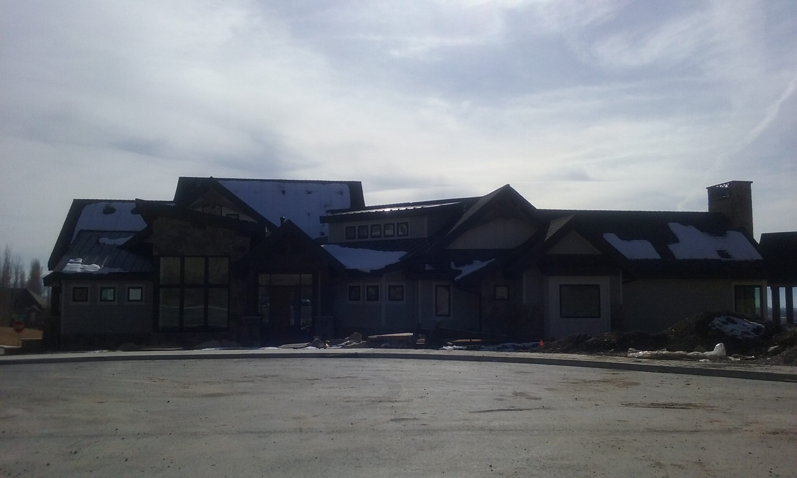
Property Information
| Serial Number: 41:792:0013 |
Serial Life: 2015... |
|
|

Total Photos: 3
|
| |
|
|
| Property Address: 697 N 720 EAST - LINDON
more see "Addrs" tab below..
|
|
| Mailing Address: 697 N 720 E LINDON, UT 84042 |
|
| Acreage: 0.449247 |
|
| Last Document:
73528-2014
|
|
| Subdivision Map Filing |
|
| Legal Description:
LOT 13, PLAT C, HIGHLANDS AT BALD MOUNTAIN SUB AREA 0.449 AC. |
|
- Owner Names
- Value History
- Tax History
- Location
- Photos
- Documents
- Aerial Image
- Addrs
| |
----- Real Estate Values ----- |
---Improvements--- |
---Greenbelt--- |
Total |
| Year |
Com |
Res |
Agr |
Tot |
Com |
Res |
Agr |
Tot |
Land |
Homesite |
Tot |
Market Value |
| 2024 |
$0 |
$286,900 |
$0 |
$286,900 |
$0 |
$889,100 |
$0 |
$889,100 |
$0 |
$0 |
$0 |
$1,176,000 |
| 2023 |
$0 |
$286,800 |
$0 |
$286,800 |
$0 |
$852,200 |
$0 |
$852,200 |
$0 |
$0 |
$0 |
$1,139,000 |
| 2022 |
$0 |
$305,800 |
$0 |
$305,800 |
$0 |
$739,600 |
$0 |
$739,600 |
$0 |
$0 |
$0 |
$1,045,400 |
| 2021 |
$0 |
$235,200 |
$0 |
$235,200 |
$0 |
$606,200 |
$0 |
$606,200 |
$0 |
$0 |
$0 |
$841,400 |
| 2020 |
$0 |
$213,800 |
$0 |
$213,800 |
$0 |
$582,900 |
$0 |
$582,900 |
$0 |
$0 |
$0 |
$796,700 |
| 2019 |
$0 |
$197,100 |
$0 |
$197,100 |
$0 |
$582,900 |
$0 |
$582,900 |
$0 |
$0 |
$0 |
$780,000 |
| 2018 |
$0 |
$180,300 |
$0 |
$180,300 |
$0 |
$568,200 |
$0 |
$568,200 |
$0 |
$0 |
$0 |
$748,500 |
| 2017 |
$0 |
$176,100 |
$0 |
$176,100 |
$0 |
$404,300 |
$0 |
$404,300 |
$0 |
$0 |
$0 |
$580,400 |
| 2016 |
$0 |
$167,800 |
$0 |
$167,800 |
$0 |
$0 |
$0 |
$0 |
$0 |
$0 |
$0 |
$167,800 |
| 2015 |
$0 |
$167,800 |
$0 |
$167,800 |
$0 |
$0 |
$0 |
$0 |
$0 |
$0 |
$0 |
$167,800 |
| Year |
General Taxes |
Adjustments |
Net Taxes |
Fees |
Payments |
Tax Balance* |
Balance Due |
Tax District |
| 2025 |
$0.00 |
$0.00 |
$0.00 |
$0.00 |
|
$0.00
|
$0.00 |
080 - LINDON CITY |
| 2024 |
$5,246.84 |
$0.00 |
$5,246.84 |
$0.00 |
|
$0.00
|
$0.00 |
080 - LINDON CITY |
| 2023 |
$4,730.95 |
$0.00 |
$4,730.95 |
$0.00 |
|
$0.00
|
$0.00 |
080 - LINDON CITY |
| 2022 |
$4,495.12 |
$0.00 |
$4,495.12 |
$0.00 |
|
$0.00
|
$0.00 |
080 - LINDON CITY |
| 2021 |
$4,362.53 |
$0.00 |
$4,362.53 |
$0.00 |
|
$0.00
|
$0.00 |
080 - LINDON CITY |
| 2020 |
$4,196.06 |
$0.00 |
$4,196.06 |
$0.00 |
|
$0.00
|
$0.00 |
080 - LINDON CITY |
| 2019 |
$3,937.79 |
$0.00 |
$3,937.79 |
$0.00 |
|
$0.00
|
$0.00 |
080 - LINDON CITY |
| 2018 |
$4,008.07 |
$0.00 |
$4,008.07 |
$0.00 |
|
$0.00
|
$0.00 |
080 - LINDON CITY |
| 2017 |
$3,188.05 |
$0.00 |
$3,188.05 |
$0.00 |
|
$0.00
|
$0.00 |
080 - LINDON CITY |
| 2016 |
$1,811.74 |
$0.00 |
$1,811.74 |
$0.00 |
|
$0.00
|
$0.00 |
080 - LINDON CITY |
| 2015 |
$1,916.44 |
$0.00 |
$1,916.44 |
$0.00 |
|
$0.00
|
$0.00 |
080 - LINDON CITY |
|
*The visual representation is a sum of taxes for the year(s) selected and is for reference only and no liability is assumed for any inaccuracies, incorrect data or variations.
|
|
* Note: Original tax amount (Does not include applicable interest and/or fees).
| Entry # |
Date |
Recorded |
Type |
Party1 (Grantor) |
Party2 (Grantee) |
| 120114-2017 |
11/30/2017 |
12/05/2017 |
N |
JORDAN VALLEY WATER CONSERVANCY DISTRICT |
WHOM OF INTEREST |
| 72018-2017 |
07/18/2017 |
07/26/2017 |
MOD AGR |
OLSEN, CAREY W & CAREY (ET AL) |
ZB N A DBA (ET AL) |
| 71774-2017 |
07/18/2017 |
07/26/2017 |
MOD AGR |
OLSEN, CAREY & CAREY W (ET AL) |
ZB N A DBA (ET AL) |
| 80364-2016 |
08/22/2016 |
08/23/2016 |
D TR |
OLSEN, CAREY W & ANNETTE B |
ZB NA DBA (ET AL) |
| 73528-2014 |
10/14/2014 |
10/14/2014 |
WD |
BLACK SCOT DEVELOPMENT LC |
OLSEN, CAREY W & ANNETTE B |
| 67714-2014 |
09/19/2014 |
09/22/2014 |
N |
LINDON CITY |
WHOM OF INTEREST |
| 66738-2014 |
09/15/2014 |
09/18/2014 |
S PLAT |
BLACK SCOT DEVELOPMENT LC |
HIGHLANDS AT BALD MOUNTAIN PLAT C |
697 N 720 EAST - LINDON
715 E 680 NORTH - LINDON
Main Menu Comments or Concerns on Value/Appraisal - Assessor's Office
Documents/Owner/Parcel information - Recorder's Office
Address Change for Tax Notice
This page was created on 12/11/2024 1:07:07 PM |