Property Information
| Serial Number: 41:792:0018 |
Serial Life: 2015... |
|
|

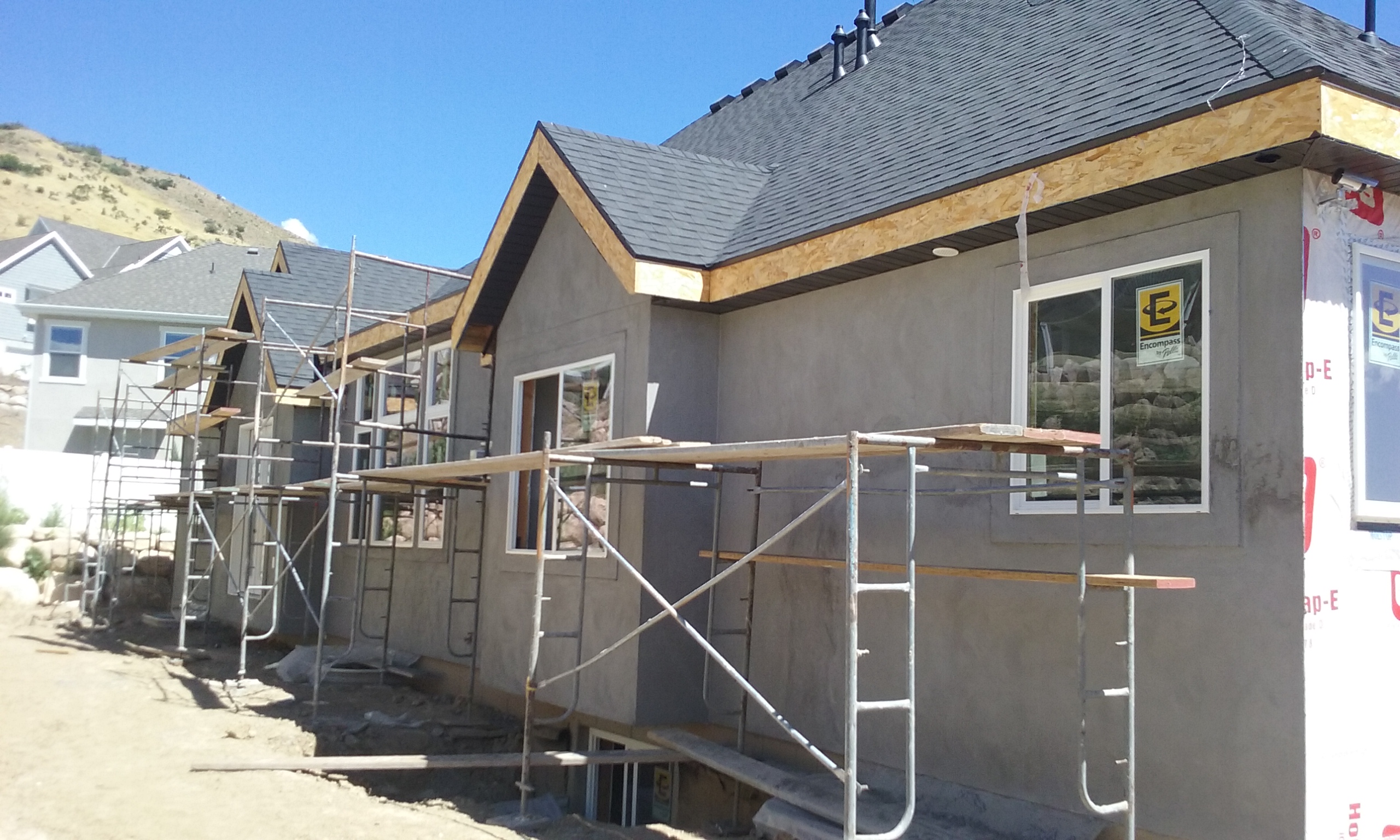
Total Photos: 1
|
| |
|
|
| Property Address: 723 E 730 NORTH - LINDON |
|
| Mailing Address: 70 S KINGS PEAK DR LINDON, UT 84042 |
|
| Acreage: 0.301211 |
|
| Last Document:
15921-2018
|
|
| Subdivision Map Filing |
|
| Legal Description:
LOT 18, PLAT C, HIGHLANDS AT BALD MOUNTAIN SUB AREA 0.301 AC. |
|
- Owner Names
- Value History
- Tax History
- Location
- Photos
- Documents
- Aerial Image
| |
----- Real Estate Values ----- |
---Improvements--- |
---Greenbelt--- |
Total |
| Year |
Com |
Res |
Agr |
Tot |
Com |
Res |
Agr |
Tot |
Land |
Homesite |
Tot |
Market Value |
| 2024 |
$0 |
$262,700 |
$0 |
$262,700 |
$0 |
$712,100 |
$0 |
$712,100 |
$0 |
$0 |
$0 |
$974,800 |
| 2023 |
$0 |
$262,600 |
$0 |
$262,600 |
$0 |
$722,800 |
$0 |
$722,800 |
$0 |
$0 |
$0 |
$985,400 |
| 2022 |
$0 |
$280,000 |
$0 |
$280,000 |
$0 |
$682,700 |
$0 |
$682,700 |
$0 |
$0 |
$0 |
$962,700 |
| 2021 |
$0 |
$215,400 |
$0 |
$215,400 |
$0 |
$559,600 |
$0 |
$559,600 |
$0 |
$0 |
$0 |
$775,000 |
| 2020 |
$0 |
$195,800 |
$0 |
$195,800 |
$0 |
$544,000 |
$0 |
$544,000 |
$0 |
$0 |
$0 |
$739,800 |
| 2019 |
$0 |
$180,500 |
$0 |
$180,500 |
$0 |
$0 |
$0 |
$0 |
$0 |
$0 |
$0 |
$180,500 |
| 2018 |
$0 |
$165,100 |
$0 |
$165,100 |
$0 |
$0 |
$0 |
$0 |
$0 |
$0 |
$0 |
$165,100 |
| 2017 |
$0 |
$161,300 |
$0 |
$161,300 |
$0 |
$0 |
$0 |
$0 |
$0 |
$0 |
$0 |
$161,300 |
| 2016 |
$0 |
$150,100 |
$0 |
$150,100 |
$0 |
$0 |
$0 |
$0 |
$0 |
$0 |
$0 |
$150,100 |
| 2015 |
$0 |
$150,100 |
$0 |
$150,100 |
$0 |
$0 |
$0 |
$0 |
$0 |
$0 |
$0 |
$150,100 |
| Year |
General Taxes |
Adjustments |
Net Taxes |
Fees |
Payments |
Tax Balance* |
Balance Due |
Tax District |
| 2025 |
$0.00 |
$0.00 |
$0.00 |
$0.00 |
|
$0.00
|
$0.00 |
080 - LINDON CITY |
| 2024 |
$4,349.17 |
$0.00 |
$4,349.17 |
$0.00 |
|
$0.00
|
$0.00 |
080 - LINDON CITY |
| 2023 |
$4,092.96 |
$0.00 |
$4,092.96 |
$0.00 |
|
$0.00
|
$0.00 |
080 - LINDON CITY |
| 2022 |
$4,139.51 |
$0.00 |
$4,139.51 |
$0.00 |
|
$0.00
|
$0.00 |
080 - LINDON CITY |
| 2021 |
$4,018.26 |
$0.00 |
$4,018.26 |
$0.00 |
|
$0.00
|
$0.00 |
080 - LINDON CITY |
| 2020 |
$3,896.38 |
$0.00 |
$3,896.38 |
$0.00 |
|
$0.00
|
$0.00 |
080 - LINDON CITY |
| 2019 |
$1,656.81 |
$0.00 |
$1,656.81 |
$0.00 |
|
$0.00
|
$0.00 |
080 - LINDON CITY |
| 2018 |
$1,607.41 |
$0.00 |
$1,607.41 |
$0.00 |
|
$0.00
|
$0.00 |
080 - LINDON CITY |
| 2017 |
$1,610.90 |
$0.00 |
$1,610.90 |
$0.00 |
|
$0.00
|
$0.00 |
080 - LINDON CITY |
| 2016 |
$1,620.63 |
$0.00 |
$1,620.63 |
$0.00 |
|
$0.00
|
$0.00 |
080 - LINDON CITY |
| 2015 |
$1,714.29 |
$0.00 |
$1,714.29 |
$0.00 |
|
$0.00
|
$0.00 |
080 - LINDON CITY |
|
*The visual representation is a sum of taxes for the year(s) selected and is for reference only and no liability is assumed for any inaccuracies, incorrect data or variations.
|
|
* Note: Original tax amount (Does not include applicable interest and/or fees).
| Entry # |
Date |
Recorded |
Type |
Party1 (Grantor) |
Party2 (Grantee) |
| 24171-2019 |
03/14/2019 |
03/25/2019 |
N |
BELLISTON, BRAD |
WHOM OF INTEREST |
| 30280-2018 |
03/30/2018 |
03/30/2018 |
REC |
DESERET FIRST FEDERAL CREDIT UNION TEE |
CRONQUIST, CHAD & MINDY |
| 15921-2018 |
02/15/2018 |
02/16/2018 |
WD |
CRONQUIST, CHAD & MINDY |
WESTCO PROPERTIES LLC |
| 38177-2015 |
04/30/2015 |
05/04/2015 |
TR D |
CRONQUIST, CHAD & MINDY |
DESERET FIRST FEDERAL CREDIT UNION |
| 38161-2015 |
04/07/2015 |
05/04/2015 |
WD |
BLACK SCOT DEVELOPMENT LC |
CRONQUIST, CHAD & MINDY |
| 66738-2014 |
09/15/2014 |
09/18/2014 |
S PLAT |
BLACK SCOT DEVELOPMENT LC |
HIGHLANDS AT BALD MOUNTAIN PLAT C |
Main Menu Comments or Concerns on Value/Appraisal - Assessor's Office
Documents/Owner/Parcel information - Recorder's Office
Address Change for Tax Notice
This page was created on 3/11/2025 1:38:53 PM |
