Property Information
| Serial Number: 46:798:0006 |
Serial Life: 2012 |
|
|
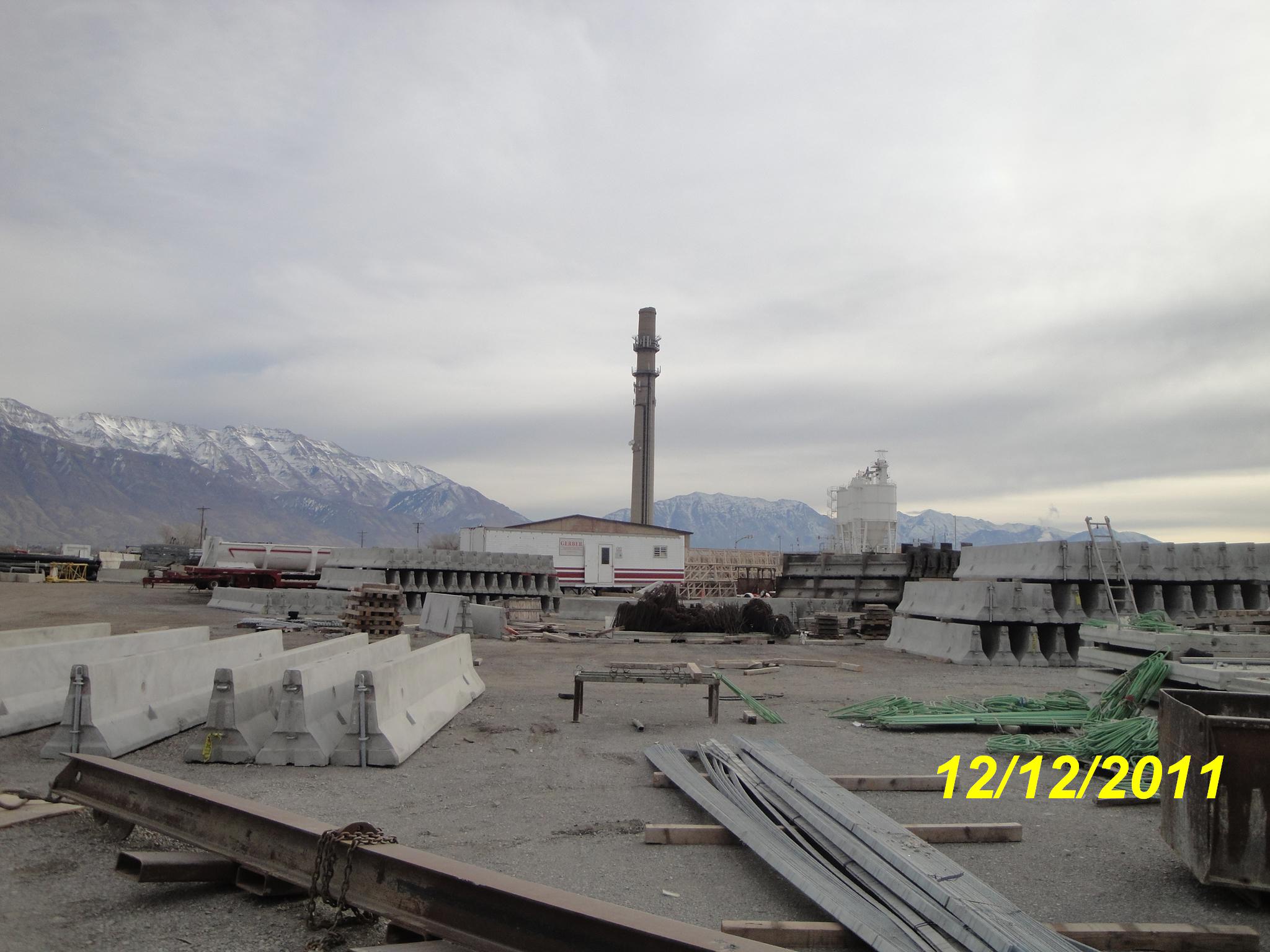
Total Photos: 1
|
| |
|
|
| Property Address: |
|
| Mailing Address: 12177 KODIAK CT DRAPER, UT 84020-8815 |
|
| Acreage: 0.801879 |
|
| Last Document:
42751-2012
|
|
| Subdivision Map Filing |
|
| Legal Description:
PART LOT 5, PLAT A, MILL POND SUB DESCRIBED AS FOLLOWS; COM N 519.87 FT & E 992.93 FT FR S 1/4 COR. SEC. 16, T5S, R1E, SLB&M.; N 62 DEG 38' 6" E 384.01 FT; N 36 DEG 4' 41" E 1.39 FT; S 125.44 FT; S 67 DEG 5' 23" W 269.72 FT; N 76 DEG 7' 50" W 149.81 FT; N 72 DEG 0' 32" E 54.7 FT TO BEG. AREA 0.802 AC. |
|
- Owner Names
- Value History
- Tax History
- Location
- Photos
- Documents
- Aerial Image
Main Menu Comments or Concerns on Value/Appraisal - Assessor's Office
Documents/Owner/Parcel information - Recorder's Office
Address Change for Tax Notice
This page was created on 3/9/2025 1:16:10 AM |
