Property Information
| Serial Number: 49:867:0202 |
Serial Life: 2018... |
|
|
Total Photos: 5
|
| |
|
|
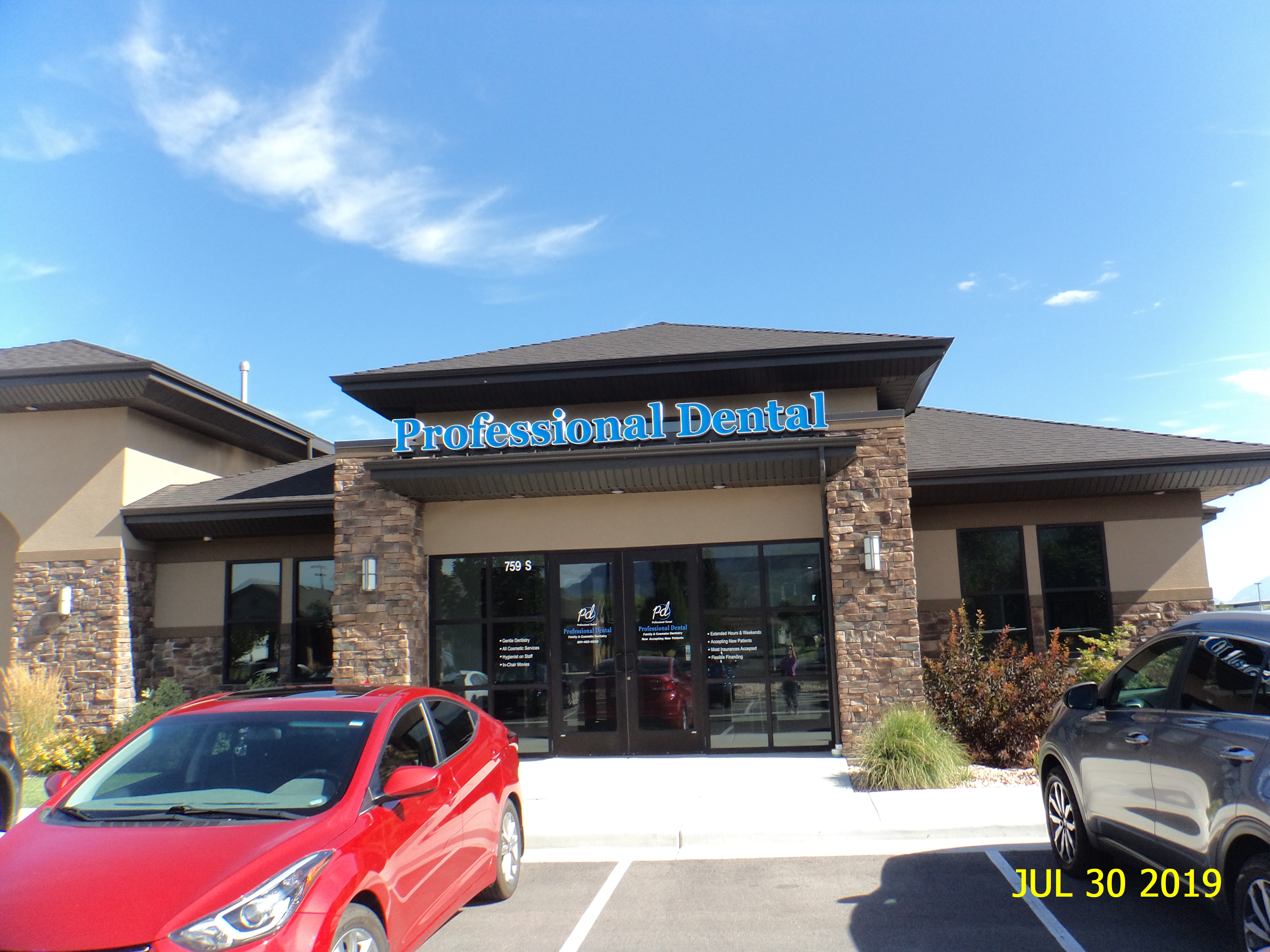
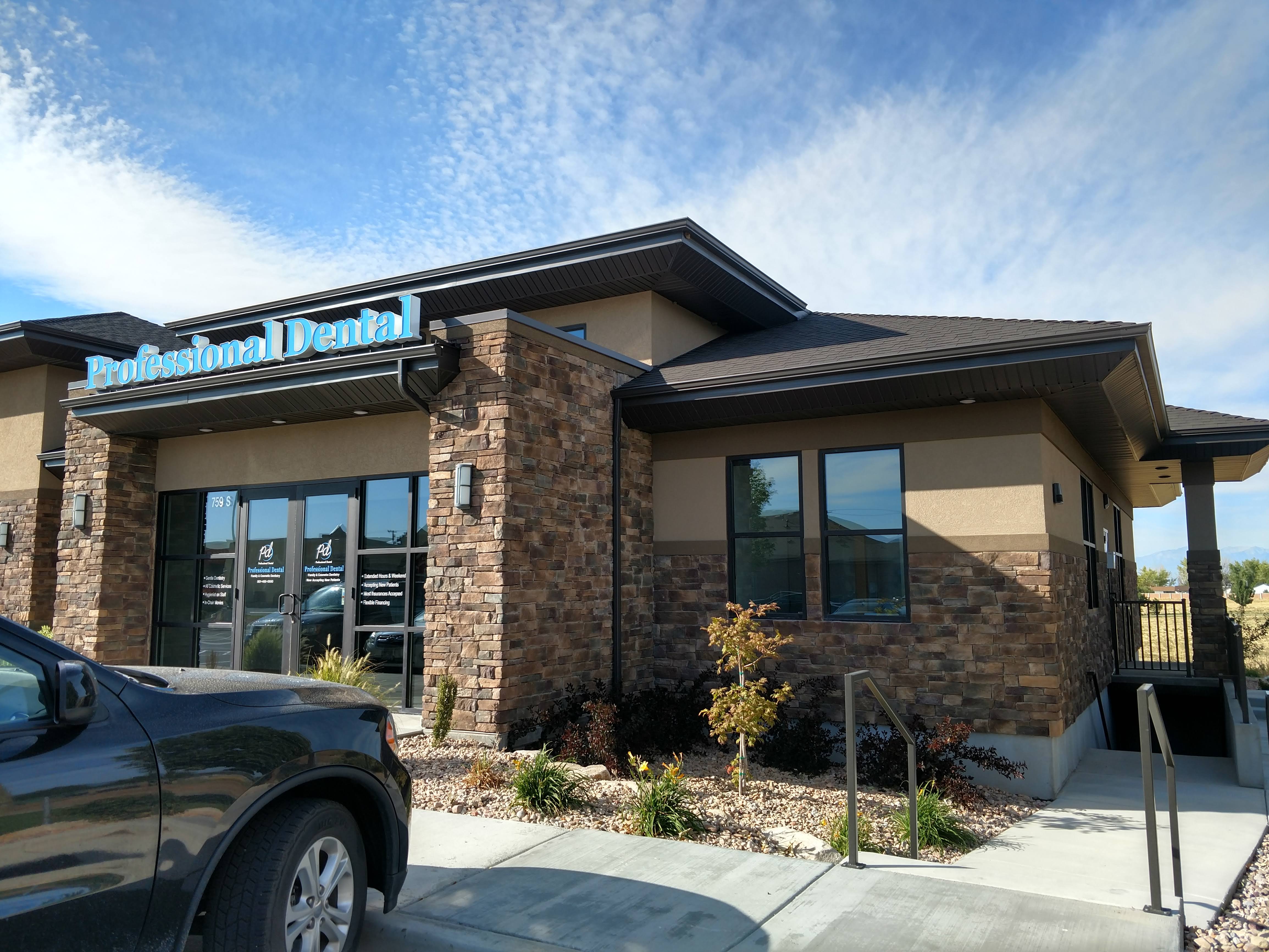
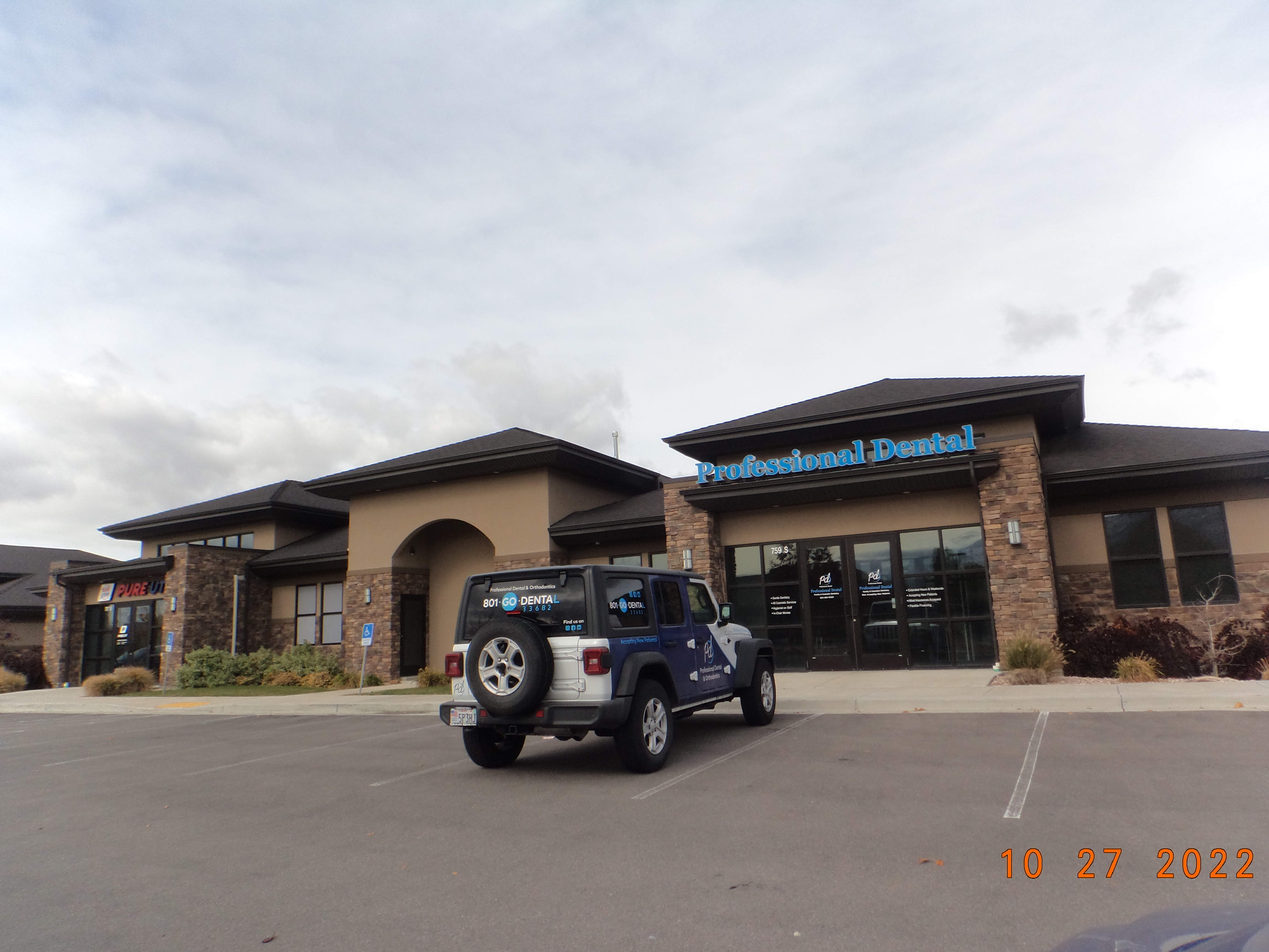
| Property Address: 759 S 1040 WEST - PAYSON |
|
| Mailing Address: 164 N 550 E LINDON, UT 84042-2539 |
|
| Acreage: 0.070053 |
|
| Last Document:
86953-2017
|
|
| Subdivision Map Filing |
|
| Legal Description:
UNIT 202, PLAT A, PAYSON PROFESSIONAL PLAZA CONDOS. AREA 0.070 AC. |
|
- Owner Names
- Value History
- Tax History
- Location
- Photos
- Documents
- Aerial Image
| |
----- Real Estate Values ----- |
---Improvements--- |
---Greenbelt--- |
Total |
| Year |
Com |
Res |
Agr |
Tot |
Com |
Res |
Agr |
Tot |
Land |
Homesite |
Tot |
Market Value |
| 2024 |
$101,100 |
$0 |
$0 |
$101,100 |
$623,800 |
$0 |
$0 |
$623,800 |
$0 |
$0 |
$0 |
$724,900 |
| 2023 |
$99,100 |
$0 |
$0 |
$99,100 |
$611,600 |
$0 |
$0 |
$611,600 |
$0 |
$0 |
$0 |
$710,700 |
| 2022 |
$99,100 |
$0 |
$0 |
$99,100 |
$535,000 |
$0 |
$0 |
$535,000 |
$0 |
$0 |
$0 |
$634,100 |
| 2021 |
$99,100 |
$0 |
$0 |
$99,100 |
$535,000 |
$0 |
$0 |
$535,000 |
$0 |
$0 |
$0 |
$634,100 |
| 2020 |
$99,100 |
$0 |
$0 |
$99,100 |
$535,000 |
$0 |
$0 |
$535,000 |
$0 |
$0 |
$0 |
$634,100 |
| 2019 |
$86,700 |
$0 |
$0 |
$86,700 |
$547,400 |
$0 |
$0 |
$547,400 |
$0 |
$0 |
$0 |
$634,100 |
| 2018 |
$86,700 |
$0 |
$0 |
$86,700 |
$547,400 |
$0 |
$0 |
$547,400 |
$0 |
$0 |
$0 |
$634,100 |
| Year |
General Taxes |
Adjustments |
Net Taxes |
Fees |
Payments |
Tax Balance* |
Balance Due |
Tax District |
| 2025 |
$0.00 |
$0.00 |
$0.00 |
$0.00 |
|
$0.00
|
$0.00 |
170 - PAYSON CITY |
| 2024 |
$7,122.87 |
$0.00 |
$7,122.87 |
$0.00 |
|
|
Click for Payoff
|
170 - PAYSON CITY |
| 2023 |
$6,964.15 |
$0.00 |
$6,964.15 |
$0.00 |
|
$0.00
|
$0.00 |
170 - PAYSON CITY |
| 2022 |
$6,317.54 |
$0.00 |
$6,317.54 |
$0.00 |
|
$0.00
|
$0.00 |
170 - PAYSON CITY |
| 2021 |
$7,161.53 |
$0.00 |
$7,161.53 |
$0.00 |
|
$0.00
|
$0.00 |
170 - PAYSON CITY |
| 2020 |
$7,320.05 |
$0.00 |
$7,320.05 |
$0.00 |
|
$0.00
|
$0.00 |
170 - PAYSON CITY |
| 2019 |
$7,139.97 |
$0.00 |
$7,139.97 |
$0.00 |
|
$0.00
|
$0.00 |
170 - PAYSON CITY |
| 2018 |
$7,408.19 |
$0.00 |
$7,408.19 |
$0.00 |
|
$0.00
|
$0.00 |
170 - PAYSON CITY |
|
*The visual representation is a sum of taxes for the year(s) selected and is for reference only and no liability is assumed for any inaccuracies, incorrect data or variations.
|
|
* Note: Original tax amount (Does not include applicable interest and/or fees).
| Entry # |
Date |
Recorded |
Type |
Party1 (Grantor) |
Party2 (Grantee) |
| 116340-2021 |
06/29/2021 |
06/29/2021 |
REC |
CENTRAL BANK TEE |
JEAN PROPERTY LLC |
| 81409-2021 |
04/20/2021 |
04/29/2021 |
SUB AGR |
CENTRAL BANK |
UTAH FIRST FEDERAL CREDIT UNION |
| 81386-2021 |
04/29/2021 |
04/29/2021 |
ASSIGN |
JEAN PROPERTY LLC |
UTAH FIRST FEDERAL CREDIT UNION |
| 81385-2021 |
04/29/2021 |
04/29/2021 |
D TR |
JEAN PROPERTY LLC |
UTAH FIRST FEDERAL CREDIT UNION |
| 156159-2020 |
08/31/2020 |
10/06/2020 |
LS |
PROFESSIONAL DENTAL LLC (ET AL) |
CENTRAL BANK |
| 135319-2020 |
|
09/04/2020 |
FN ST |
PROFESSIONAL DENTAL LLC (ET AL) |
CENTRAL BANK |
| 118125-2017 |
11/30/2017 |
11/30/2017 |
MOD AGR |
JEAN PROPERTY LLC |
CENTRAL BANK |
| 103940-2017 |
10/02/2017 |
10/20/2017 |
RSUBTEE |
ASPEN COMMERCIAL HOLDINGS LLC (ET AL) |
HACK, RONALD LEE & GINGER TEE |
| 103593-2017 |
10/18/2017 |
10/19/2017 |
D TR |
JEAN PROPERTY LLC |
CENTRAL BANK |
| 103592-2017 |
10/02/2017 |
10/19/2017 |
WD |
ASPEN COMMERCIAL HOLDINGS LLC AN INT (ET AL) |
JEAN PROPERTY LLC |
| 86954-2017 |
08/24/2017 |
09/06/2017 |
DECLCON |
PAYSON PROFESSIONAL PLAZA LLC |
WHOM OF INTEREST |
| 86953-2017 |
08/02/2017 |
09/06/2017 |
C PLAT |
PAYSON PROFESSIONAL PLAZA LLC (ET AL) |
PAYSON PROFESSIONAL PLAZA CONDO PLAT A |
Main Menu Comments or Concerns on Value/Appraisal - Assessor's Office
Documents/Owner/Parcel information - Recorder's Office
Address Change for Tax Notice
This page was created on 3/7/2025 11:26:17 PM |