Property Information
| Serial Number: 54:339:0215 |
Serial Life: 2018... |
|
|

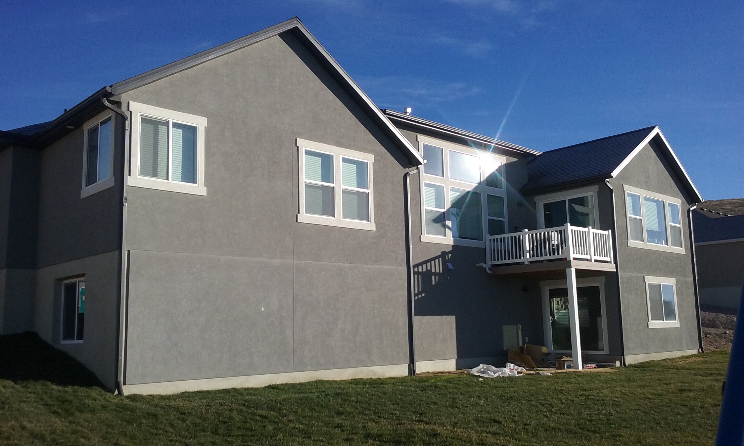
Total Photos: 1
|
| |
|
|
| Property Address: 2156 E GRENADA LN - EAGLE MOUNTAIN |
|
| Mailing Address: 2156 E GRENADA LN EAGLE MOUNTAIN, UT 84005 |
|
| Acreage: 0.625775 |
|
| Last Document:
73947-2017
|
|
| Subdivision Map Filing |
|
| Legal Description:
LOT 215, PLAT 2, VALLEY VIEW FOOTHILLS, PHASE A SUB AREA 0.626 AC. |
|
- Owner Names
- Value History
- Tax History
- Location
- Photos
- Documents
- Aerial Image
| |
----- Real Estate Values ----- |
---Improvements--- |
---Greenbelt--- |
Total |
| Year |
Com |
Res |
Agr |
Tot |
Com |
Res |
Agr |
Tot |
Land |
Homesite |
Tot |
Market Value |
| 2024 |
$0 |
$307,400 |
$0 |
$307,400 |
$0 |
$426,700 |
$0 |
$426,700 |
$0 |
$0 |
$0 |
$734,100 |
| 2023 |
$0 |
$307,300 |
$0 |
$307,300 |
$0 |
$458,900 |
$0 |
$458,900 |
$0 |
$0 |
$0 |
$766,200 |
| 2022 |
$0 |
$317,700 |
$0 |
$317,700 |
$0 |
$420,900 |
$0 |
$420,900 |
$0 |
$0 |
$0 |
$738,600 |
| 2021 |
$0 |
$167,200 |
$0 |
$167,200 |
$0 |
$365,400 |
$0 |
$365,400 |
$0 |
$0 |
$0 |
$532,600 |
| 2020 |
$0 |
$152,000 |
$0 |
$152,000 |
$0 |
$349,700 |
$0 |
$349,700 |
$0 |
$0 |
$0 |
$501,700 |
| 2019 |
$0 |
$139,000 |
$0 |
$139,000 |
$0 |
$314,400 |
$0 |
$314,400 |
$0 |
$0 |
$0 |
$453,400 |
| 2018 |
$0 |
$126,000 |
$0 |
$126,000 |
$0 |
$284,400 |
$0 |
$284,400 |
$0 |
$0 |
$0 |
$410,400 |
| Year |
General Taxes |
Adjustments |
Net Taxes |
Fees |
Payments |
Tax Balance* |
Balance Due |
Tax District |
| 2025 |
$0.00 |
$0.00 |
$0.00 |
$0.00 |
|
$0.00
|
$0.00 |
038 - EAGLE MOUNTAIN |
| 2024 |
$3,736.75 |
$0.00 |
$3,736.75 |
$0.00 |
|
$0.00
|
$0.00 |
038 - EAGLE MOUNTAIN |
| 2023 |
$3,611.06 |
$0.00 |
$3,611.06 |
$0.00 |
|
$0.00
|
$0.00 |
038 - EAGLE MOUNTAIN |
| 2022 |
$3,563.45 |
$0.00 |
$3,563.45 |
$0.00 |
|
$0.00
|
$0.00 |
038 - EAGLE MOUNTAIN |
| 2021 |
$3,112.97 |
$0.00 |
$3,112.97 |
$0.00 |
|
$0.00
|
$0.00 |
038 - EAGLE MOUNTAIN |
| 2020 |
$3,003.83 |
$0.00 |
$3,003.83 |
$0.00 |
|
$0.00
|
$0.00 |
038 - EAGLE MOUNTAIN |
| 2019 |
$2,620.38 |
$0.00 |
$2,620.38 |
$0.00 |
|
$0.00
|
$0.00 |
038 - EAGLE MOUNTAIN |
| 2018 |
$2,506.39 |
$0.00 |
$2,506.39 |
$0.00 |
|
$0.00
|
$0.00 |
038 - EAGLE MOUNTAIN |
|
*The visual representation is a sum of taxes for the year(s) selected and is for reference only and no liability is assumed for any inaccuracies, incorrect data or variations.
|
|
* Note: Original tax amount (Does not include applicable interest and/or fees).
| Entry # |
Date |
Recorded |
Type |
Party1 (Grantor) |
Party2 (Grantee) |
| 112481-2017 |
09/14/2017 |
11/14/2017 |
P REC |
PROVO LAND TITLE COMPANY TEE |
EDGE LAND 16 LLC |
| 73948-2017 |
07/31/2017 |
08/01/2017 |
D TR |
NEWCOMB, STEVEN & MEREDIN |
CASTLE & COOKE MORTGAGE LLC |
| 73947-2017 |
07/25/2017 |
08/01/2017 |
WD |
EDGE LAND 16 LLC |
NEWCOMB, STEVEN & MEREDIN |
| 28948-2017 |
03/23/2017 |
03/24/2017 |
REC |
MERIDIAN TITLE COMPANY TEE |
VALLEY VIEW AB LLC |
| 28947-2017 |
03/24/2017 |
03/24/2017 |
REC |
MERIDIAN TITLE COMPANY TEE |
EDGE LAND 16 LLC |
| 27704-2017 |
03/21/2017 |
03/22/2017 |
S D TR |
EDGE LAND 16 LLC |
TEXAS CAPITAL BANK |
| 8794-2017 |
01/25/2017 |
01/27/2017 |
S PLAT |
EDGE LAND 16 LLC |
VALLEY VIEW FOOTHILLS PHASE A PLAT 2 |
Main Menu Comments or Concerns on Value/Appraisal - Assessor's Office
Documents/Owner/Parcel information - Recorder's Office
Address Change for Tax Notice
This page was created on 3/23/2025 5:58:22 AM |
