Property Information
| Serial Number: 55:810:0020 |
Serial Life: 2016... |
|
|
Total Photos: 2
|
| |
|
|
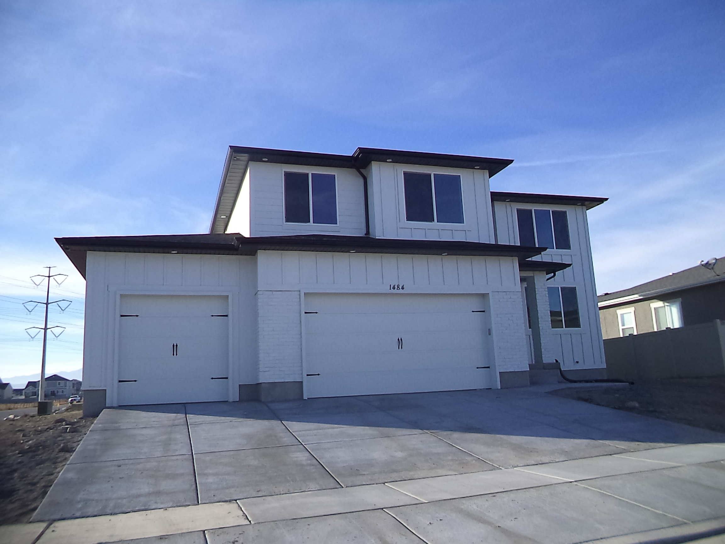
| Property Address: 1484 S 200 EAST - LEHI |
|
| Mailing Address: 1484 S 200 E LEHI, UT 84043 |
|
| Acreage: 0.220983 |
|
| Last Document:
119-2018
|
|
| Subdivision Map Filing |
|
| Legal Description:
LOT 20, PLAT A, WILLIS CROSSING SUB AREA 0.221 AC. |
|
- Owner Names
- Value History
- Tax History
- Location
- Photos
- Documents
- Aerial Image
| |
----- Real Estate Values ----- |
---Improvements--- |
---Greenbelt--- |
Total |
| Year |
Com |
Res |
Agr |
Tot |
Com |
Res |
Agr |
Tot |
Land |
Homesite |
Tot |
Market Value |
| 2024 |
$0 |
$245,100 |
$0 |
$245,100 |
$0 |
$389,200 |
$0 |
$389,200 |
$0 |
$0 |
$0 |
$634,300 |
| 2023 |
$0 |
$238,000 |
$0 |
$238,000 |
$0 |
$406,200 |
$0 |
$406,200 |
$0 |
$0 |
$0 |
$644,200 |
| 2022 |
$0 |
$242,900 |
$0 |
$242,900 |
$0 |
$389,600 |
$0 |
$389,600 |
$0 |
$0 |
$0 |
$632,500 |
| 2021 |
$0 |
$151,800 |
$0 |
$151,800 |
$0 |
$317,500 |
$0 |
$317,500 |
$0 |
$0 |
$0 |
$469,300 |
| 2020 |
$0 |
$140,600 |
$0 |
$140,600 |
$0 |
$296,700 |
$0 |
$296,700 |
$0 |
$0 |
$0 |
$437,300 |
| 2019 |
$0 |
$140,600 |
$0 |
$140,600 |
$0 |
$258,000 |
$0 |
$258,000 |
$0 |
$0 |
$0 |
$398,600 |
| 2018 |
$0 |
$137,100 |
$0 |
$137,100 |
$0 |
$242,500 |
$0 |
$242,500 |
$0 |
$0 |
$0 |
$379,600 |
| 2017 |
$0 |
$120,000 |
$0 |
$120,000 |
$0 |
$0 |
$0 |
$0 |
$0 |
$0 |
$0 |
$120,000 |
| 2016 |
$0 |
$116,600 |
$0 |
$116,600 |
$0 |
$0 |
$0 |
$0 |
$0 |
$0 |
$0 |
$116,600 |
| Year |
General Taxes |
Adjustments |
Net Taxes |
Fees |
Payments |
Tax Balance* |
Balance Due |
Tax District |
| 2025 |
$0.00 |
$0.00 |
$0.00 |
$0.00 |
|
$0.00
|
$0.00 |
010 - LEHI CITY |
| 2024 |
$2,981.05 |
$0.00 |
$2,981.05 |
$0.00 |
|
|
Click for Payoff
|
010 - LEHI CITY |
| 2023 |
$2,788.42 |
$0.00 |
$2,788.42 |
$0.00 |
|
$0.00
|
$0.00 |
010 - LEHI CITY |
| 2022 |
$2,824.05 |
$0.00 |
$2,824.05 |
$0.00 |
|
$0.00
|
$0.00 |
010 - LEHI CITY |
| 2021 |
$2,519.98 |
$0.00 |
$2,519.98 |
$0.00 |
|
$0.00
|
$0.00 |
010 - LEHI CITY |
| 2020 |
$2,375.57 |
$0.00 |
$2,375.57 |
$0.00 |
|
$0.00
|
$0.00 |
010 - LEHI CITY |
| 2019 |
$2,082.90 |
$0.00 |
$2,082.90 |
$0.00 |
|
$0.00
|
$0.00 |
010 - LEHI CITY |
| 2018 |
$2,098.24 |
$0.00 |
$2,098.24 |
$0.00 |
|
$0.00
|
$0.00 |
010 - LEHI CITY |
| 2017 |
$1,247.64 |
$0.00 |
$1,247.64 |
$0.00 |
|
$0.00
|
$0.00 |
010 - LEHI CITY |
| 2016 |
$1,306.62 |
$0.00 |
$1,306.62 |
$0.00 |
|
$0.00
|
$0.00 |
010 - LEHI CITY |
|
*The visual representation is a sum of taxes for the year(s) selected and is for reference only and no liability is assumed for any inaccuracies, incorrect data or variations.
|
|
* Note: Original tax amount (Does not include applicable interest and/or fees).
| Entry # |
Date |
Recorded |
Type |
Party1 (Grantor) |
Party2 (Grantee) |
| 68561-2019 |
06/28/2019 |
07/23/2019 |
P REC |
BANK OF UTAH TEE |
BUILDING CONSTRUCTION PARTNERS LLC |
| 20766-2018 |
03/01/2018 |
03/02/2018 |
REC |
CENTRAL BANK TEE |
BUILDING CONSTRUCTION PARTNERS LLC |
| 14870-2018 |
01/31/2018 |
02/14/2018 |
P REC |
BANK OF UTAH TEE |
BUILDING CONSTRUCTION PARTNERS LLC |
| 119-2018 |
12/29/2017 |
01/02/2018 |
SP WD |
BUILDING CONSTRUCTION PARTNERS LLC |
CREER, NATHANIEL B |
| 75410-2017 |
08/03/2017 |
08/03/2017 |
ASSIGN |
BUILDING CONSTRUCTION PARTNERS LLC |
BANK OF UTAH |
| 75409-2017 |
08/03/2017 |
08/03/2017 |
D TR |
BUILDING CONSTRUCTION PARTNERS LLC |
BANK OF UTAH |
| 114099-2015 |
02/10/2015 |
12/21/2015 |
S PLAT |
HILLCREST PARTNERS LLC (ET AL) |
WILLIS CROSSING PLAT A |
Main Menu Comments or Concerns on Value/Appraisal - Assessor's Office
Documents/Owner/Parcel information - Recorder's Office
Address Change for Tax Notice
This page was created on 2/2/2025 3:19:32 AM |

