Property Information
| Serial Number: 58:002:0228 |
Serial Life: 2019-2024 |
|
|
Total Photos: 5
|
| |
|
|
| Property Address: LEHI |
|
| Mailing Address: 11113 S CADBURY DR SOUTH JORDAN, UT 84095 |
|
| Acreage: 0.957659 |
|
| Last Document:
109520-2018
|
|
| Subdivision Map Filing |
|
| Legal Description:
COM S 3709.48 FT & W 3.75 FT FR N 1/4 COR. SEC. 25, T4S, R1W, SLB&M.; N 33 DEG 18' 4" W 145.6 FT; ALONG A CURVE TO R (CHORD BEARS: N 30 DEG 31' 33" W 121.72 FT, RADIUS = 1257 FT); N 61 DEG 52' 19" E 156.79 FT; S 32 DEG 29' 56" E 261.23 FT; S 57 DEG 29' 3" W 9.76 FT; N 33 DEG 13' 30" W 5.96 FT; S 57 DEG 29' 33" W 148.65 FT TO BEG. AREA 0.958 AC. |
|
- Owner Names
- Value History
- Tax History
- Location
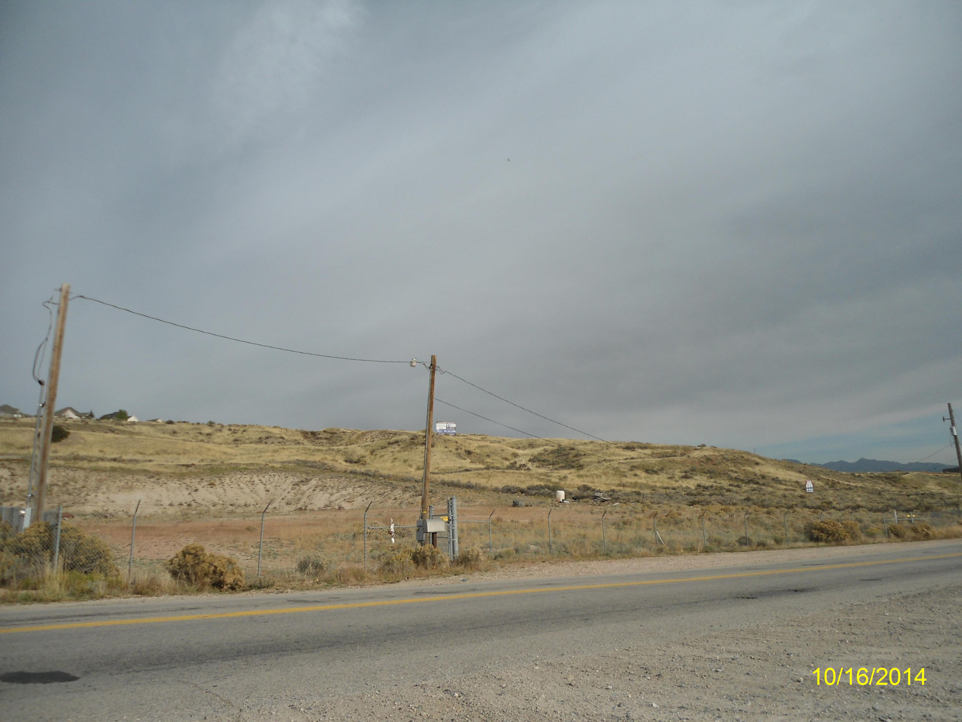
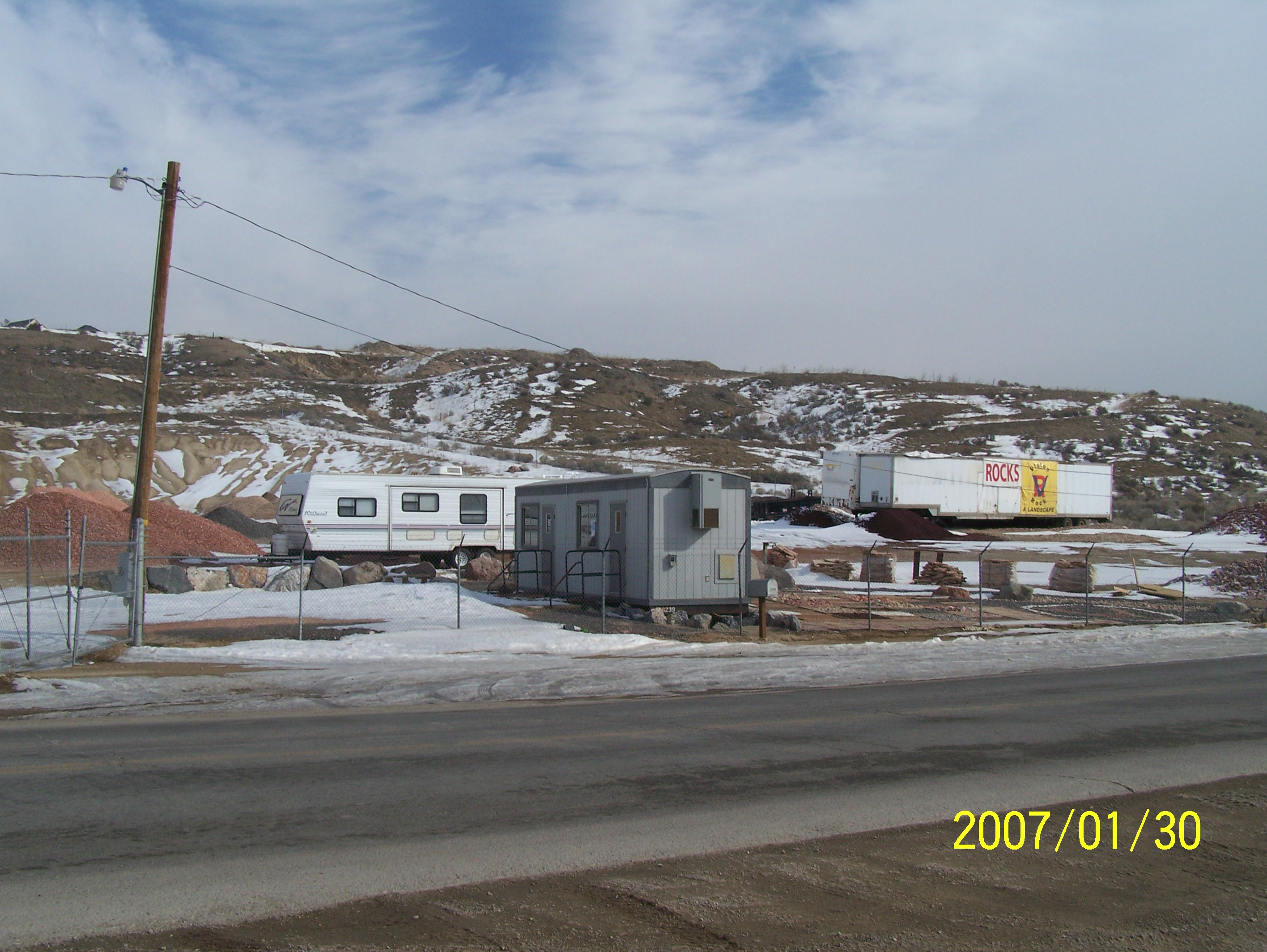
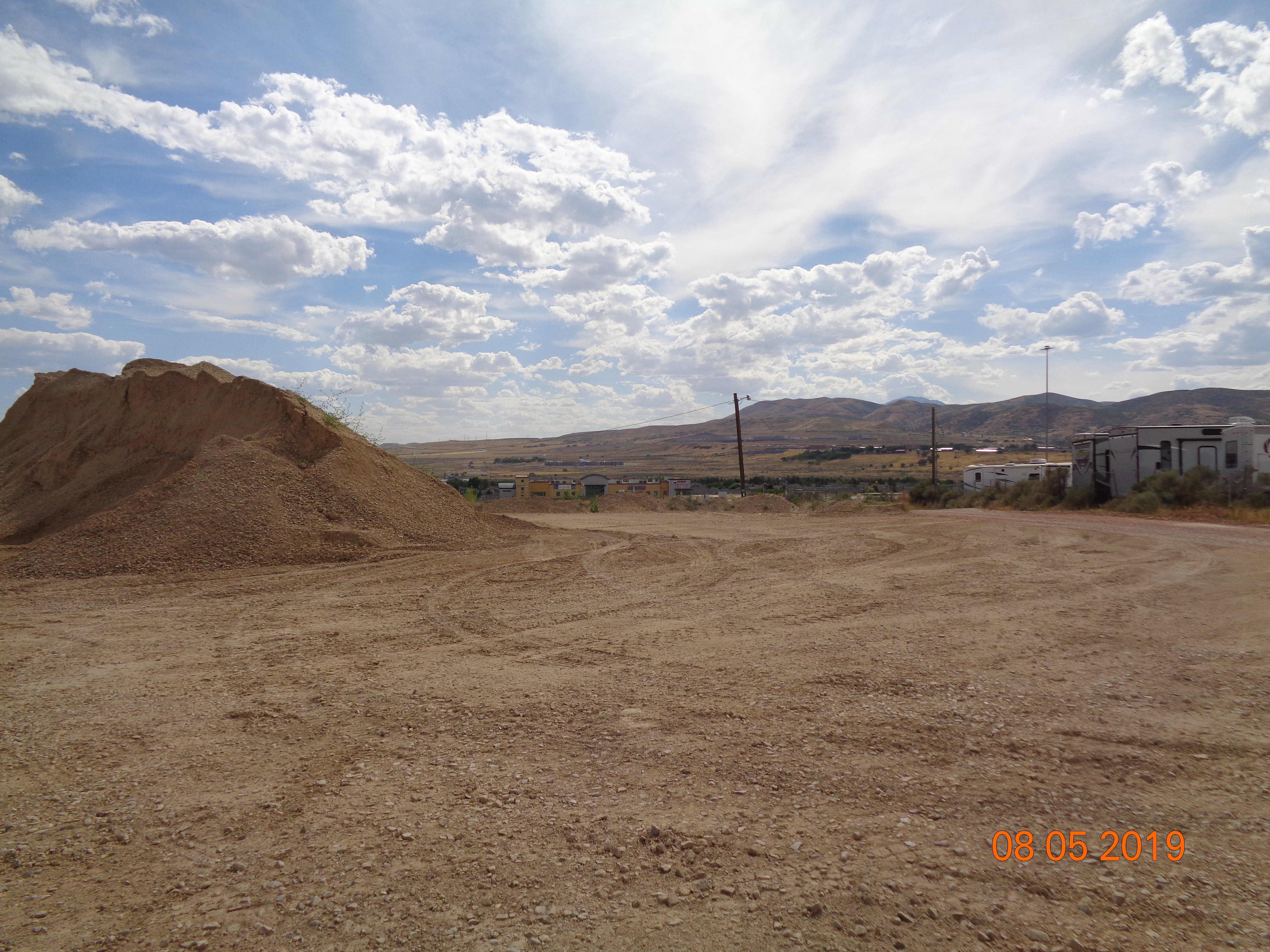
- Photos
- Documents
- Aerial Image
| |
----- Real Estate Values ----- |
---Improvements--- |
---Greenbelt--- |
Total |
| Year |
Com |
Res |
Agr |
Tot |
Com |
Res |
Agr |
Tot |
Land |
Homesite |
Tot |
Market Value |
| 2024 |
$418,200 |
$0 |
$0 |
$418,200 |
$0 |
$0 |
$0 |
$0 |
$0 |
$0 |
$0 |
$418,200 |
| 2023 |
$412,700 |
$0 |
$0 |
$412,700 |
$0 |
$0 |
$0 |
$0 |
$0 |
$0 |
$0 |
$412,700 |
| 2022 |
$402,400 |
$0 |
$0 |
$402,400 |
$0 |
$0 |
$0 |
$0 |
$0 |
$0 |
$0 |
$402,400 |
| 2021 |
$514,400 |
$0 |
$0 |
$514,400 |
$0 |
$0 |
$0 |
$0 |
$0 |
$0 |
$0 |
$514,400 |
| 2020 |
$514,400 |
$0 |
$0 |
$514,400 |
$0 |
$0 |
$0 |
$0 |
$0 |
$0 |
$0 |
$514,400 |
| 2019 |
$416,700 |
$0 |
$0 |
$416,700 |
$0 |
$0 |
$0 |
$0 |
$0 |
$0 |
$0 |
$416,700 |
| Year |
General Taxes |
Adjustments |
Net Taxes |
Fees |
Payments |
Tax Balance* |
Balance Due |
Tax District |
| 2024 |
$3,573.52 |
$0.00 |
$3,573.52 |
$0.00 |
|
|
Click for Payoff
|
010 - LEHI CITY |
| 2023 |
$3,247.95 |
$0.00 |
$3,247.95 |
$0.00 |
|
$0.00
|
$0.00 |
010 - LEHI CITY |
| 2022 |
$3,266.68 |
$0.00 |
$3,266.68 |
$0.00 |
|
$0.00
|
$0.00 |
010 - LEHI CITY |
| 2021 |
$5,022.09 |
$0.00 |
$5,022.09 |
$0.00 |
|
$0.00
|
$0.00 |
010 - LEHI CITY |
| 2020 |
$8,155.44 |
($3,074.71) |
$5,080.73 |
$0.00 |
|
$0.00
|
$0.00 |
010 - LEHI CITY |
| 2019 |
$3,959.07 |
$0.00 |
$3,959.07 |
$0.00 |
|
$0.00
|
$0.00 |
010 - LEHI CITY |
|
*The visual representation is a sum of taxes for the year(s) selected and is for reference only and no liability is assumed for any inaccuracies, incorrect data or variations.
|
|
* Note: Original tax amount (Does not include applicable interest and/or fees).
| Entry # |
Date |
Recorded |
Type |
Party1 (Grantor) |
Party2 (Grantee) |
| 69338-2024 |
10/04/2024 |
10/08/2024 |
QCD |
MERCHANT & SONS INC (ET AL) |
WHITMORE, JAMES MONTGOMERY SR & LINDA TEE (ET AL) |
| 8088-2021 |
12/16/2020 |
01/15/2021 |
MEM |
TRANSWEST PTM PROPERTIES LLC |
STC FIVE LLC BY (ET AL) |
| 69408-2019 |
07/25/2019 |
07/25/2019 |
N |
MERCHANT & SONS INC |
WHOM OF INTEREST |
| 109523-2018 |
11/01/2018 |
11/15/2018 |
RES COV |
MERCHANT & SONS INC (ET AL) |
WHOM OF INTEREST |
| 109521-2018 |
11/01/2018 |
11/15/2018 |
RES COV |
MERCHANT & SONS INC (ET AL) |
WHOM OF INTEREST |
| 109520-2018 |
11/01/2018 |
11/15/2018 |
WD |
WHITMORE, JAMES M |
MERCHANT & SONS INC |
Main Menu Comments or Concerns on Value/Appraisal - Assessor's Office
Documents/Owner/Parcel information - Recorder's Office
Address Change for Tax Notice
This page was created on 2/12/2025 8:31:59 PM |