Property Information
| Serial Number: 66:570:0316 |
Serial Life: 2018... |
|
|
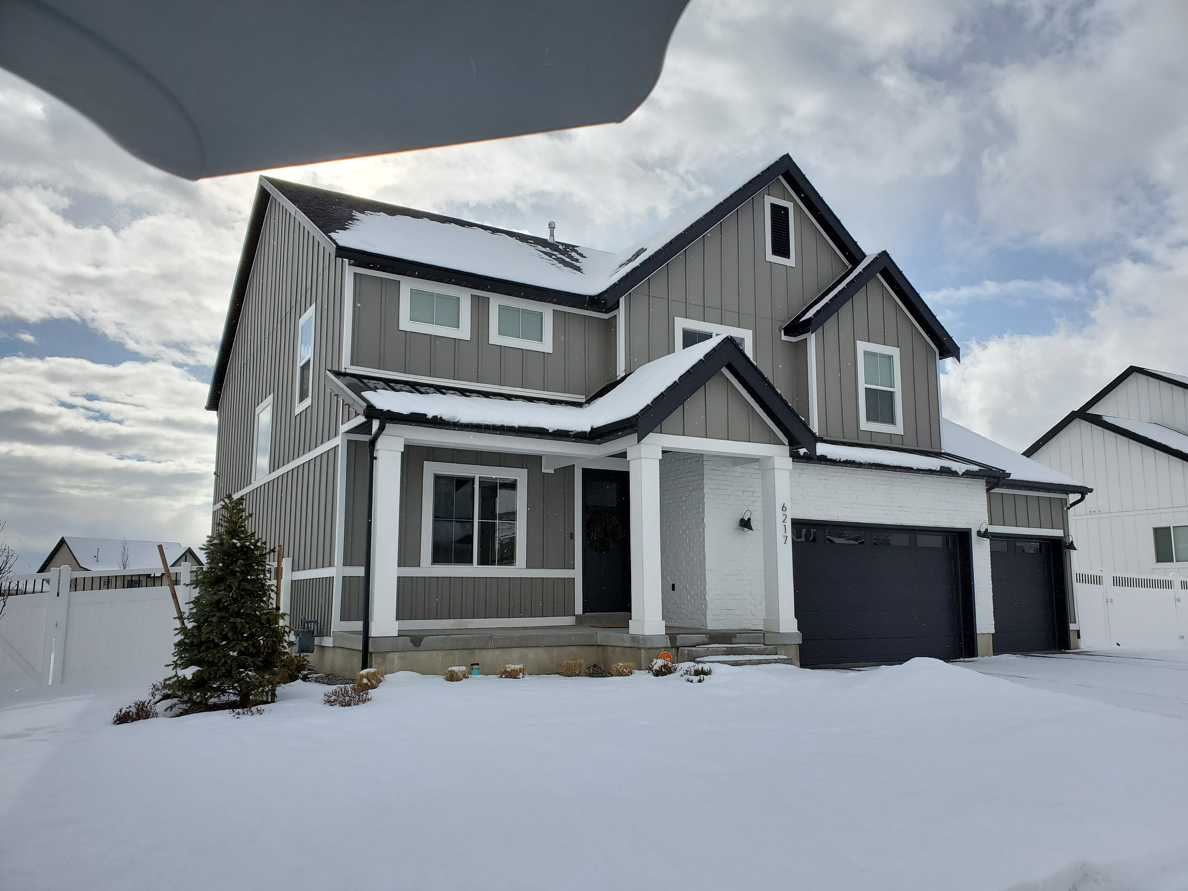
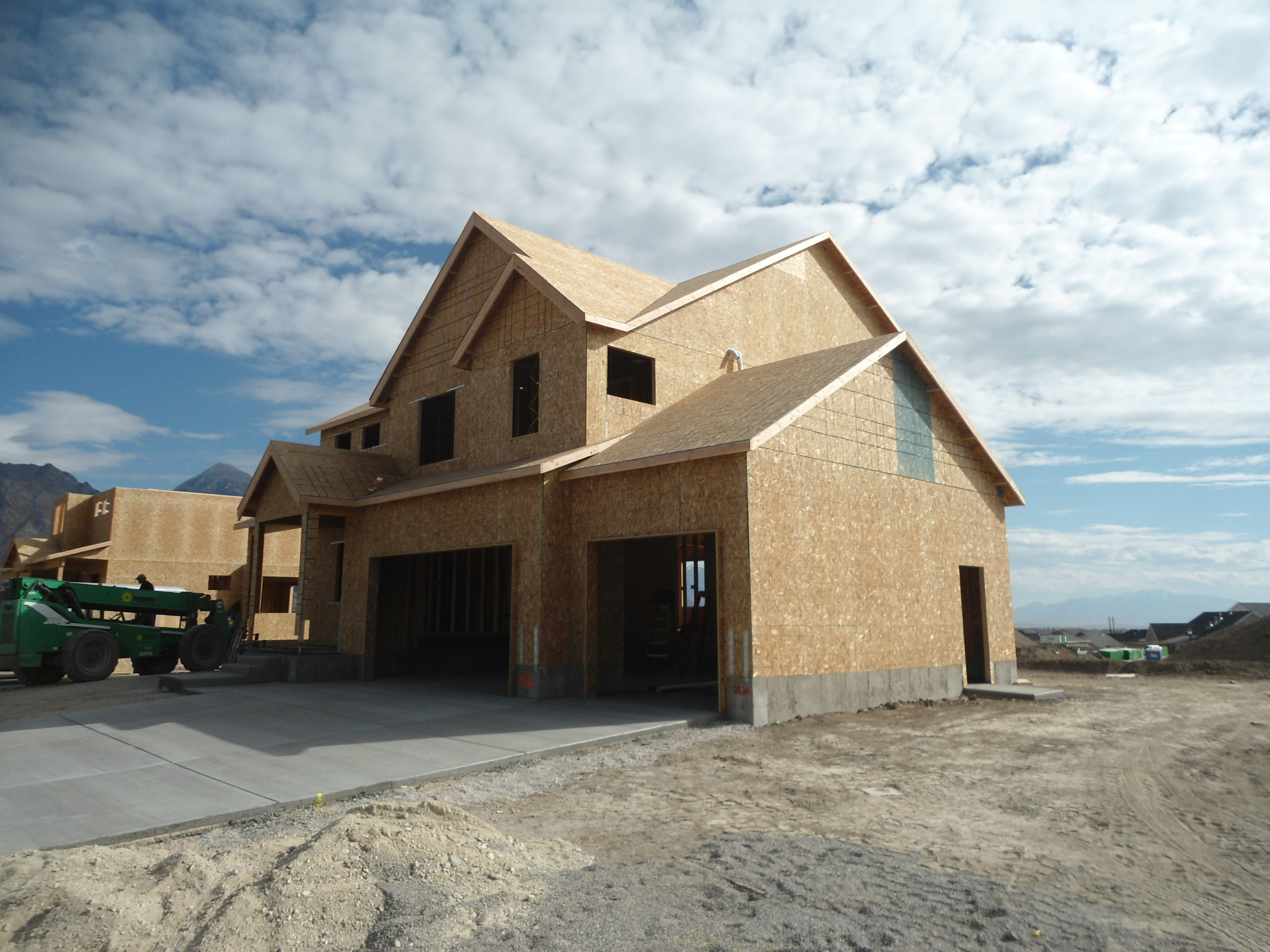
Total Photos: 2
|
| |
|
|
| Property Address: 6217 W SUTHERLAND DR - HIGHLAND |
|
| Mailing Address: 6217 W SUTHERLAND DR HIGHLAND, UT 84003 |
|
| Acreage: 0.263935 |
|
| Last Document:
50513-2020
|
|
| Subdivision Map Filing |
|
| Legal Description:
LOT 316, SKYE ESTATES, FINAL PLAT, PHASE 3 SUB AREA 0.264 AC. |
|
- Owner Names
- Value History
- Tax History
- Location
- Photos
- Documents
- Aerial Image
| |
----- Real Estate Values ----- |
---Improvements--- |
---Greenbelt--- |
Total |
| Year |
Com |
Res |
Agr |
Tot |
Com |
Res |
Agr |
Tot |
Land |
Homesite |
Tot |
Market Value |
| 2024 |
$0 |
$447,000 |
$0 |
$447,000 |
$0 |
$507,000 |
$0 |
$507,000 |
$0 |
$0 |
$0 |
$954,000 |
| 2023 |
$0 |
$406,400 |
$0 |
$406,400 |
$0 |
$565,000 |
$0 |
$565,000 |
$0 |
$0 |
$0 |
$971,400 |
| 2022 |
$0 |
$426,000 |
$0 |
$426,000 |
$0 |
$484,800 |
$0 |
$484,800 |
$0 |
$0 |
$0 |
$910,800 |
| 2021 |
$0 |
$250,600 |
$0 |
$250,600 |
$0 |
$375,800 |
$0 |
$375,800 |
$0 |
$0 |
$0 |
$626,400 |
| 2020 |
$0 |
$217,900 |
$0 |
$217,900 |
$0 |
$364,900 |
$0 |
$364,900 |
$0 |
$0 |
$0 |
$582,800 |
| 2019 |
$0 |
$217,900 |
$0 |
$217,900 |
$0 |
$288,300 |
$0 |
$288,300 |
$0 |
$0 |
$0 |
$506,200 |
| 2018 |
$0 |
$211,200 |
$0 |
$211,200 |
$0 |
$216,300 |
$0 |
$216,300 |
$0 |
$0 |
$0 |
$427,500 |
| Year |
General Taxes |
Adjustments |
Net Taxes |
Fees |
Payments |
Tax Balance* |
Balance Due |
Tax District |
| 2025 |
$0.00 |
$0.00 |
$0.00 |
$0.00 |
|
$0.00
|
$0.00 |
045 - HIGHLAND CITY |
| 2024 |
$4,247.97 |
$0.00 |
$4,247.97 |
$0.00 |
|
$0.00
|
$0.00 |
045 - HIGHLAND CITY |
| 2023 |
$4,009.70 |
$0.00 |
$4,009.70 |
$0.00 |
|
$0.00
|
$0.00 |
045 - HIGHLAND CITY |
| 2022 |
$3,877.28 |
$0.00 |
$3,877.28 |
$0.00 |
|
$0.00
|
$0.00 |
045 - HIGHLAND CITY |
| 2021 |
$3,255.02 |
$0.00 |
$3,255.02 |
$0.00 |
|
$0.00
|
$0.00 |
045 - HIGHLAND CITY |
| 2020 |
$3,088.08 |
$0.00 |
$3,088.08 |
$0.00 |
|
$0.00
|
$0.00 |
045 - HIGHLAND CITY |
| 2019 |
$2,563.88 |
$0.00 |
$2,563.88 |
$0.00 |
|
$0.00
|
$0.00 |
045 - HIGHLAND CITY |
| 2018 |
$2,278.36 |
$0.00 |
$2,278.36 |
$0.00 |
|
$0.00
|
$0.00 |
045 - HIGHLAND CITY |
|
*The visual representation is a sum of taxes for the year(s) selected and is for reference only and no liability is assumed for any inaccuracies, incorrect data or variations.
|
|
* Note: Original tax amount (Does not include applicable interest and/or fees).
| Entry # |
Date |
Recorded |
Type |
Party1 (Grantor) |
Party2 (Grantee) |
| 183311-2021 |
10/27/2021 |
10/28/2021 |
RSUBTEE |
MORTGAGE ELECTRONIC REGISTRATION SYSTEMS INC (ET AL) |
HIGHTOWER, JORDAN & MELANIE |
| 180044-2021 |
10/18/2021 |
10/22/2021 |
D TR |
HIGHTOWER, JORDAN & MELANIE |
INTERCAP LENDING INC |
| 65774-2020 |
05/12/2020 |
05/15/2020 |
RSUBTEE |
WASHINGTON MUTUAL (ET AL) |
HIGHTOWER, JORDAN |
| 50514-2020 |
04/13/2020 |
04/17/2020 |
D TR |
HIGHTOWER, JORDAN & MELANIE |
INTERCAP LENDING INC |
| 50513-2020 |
04/13/2020 |
04/17/2020 |
WD |
HIGHTOWER, JORDAN |
HIGHTOWER, JORDAN & MELANIE |
| 48957-2018 |
05/16/2018 |
05/25/2018 |
N |
D R HORTON INC |
WHOM OF INTEREST |
| 11833-2018 |
02/05/2018 |
02/06/2018 |
D TR |
HIGHTOWER, JORDAN & MELANIE |
WASHINGTON FEDERAL |
| 11832-2018 |
02/01/2018 |
02/06/2018 |
SP WD |
D R HORTON INC |
HIGHTOWER, JORDAN |
| 53284-2017 |
05/26/2017 |
06/02/2017 |
AFF SUR |
DERBY, SCOTT W |
WHOM OF INTEREST |
| 48409-2017 |
05/18/2017 |
05/19/2017 |
SP WD |
D R HORTON INC |
DRH ENERGY INC |
| 42027-2017 |
04/24/2017 |
05/02/2017 |
DECLCOV |
D R HORTON INC |
WHOM OF INTEREST |
| 42026-2017 |
04/25/2017 |
05/02/2017 |
S PLAT |
D R HORTON INC |
SKYE ESTATES PHASE 3 FINAL PLAT |
Main Menu Comments or Concerns on Value/Appraisal - Assessor's Office
Documents/Owner/Parcel information - Recorder's Office
Address Change for Tax Notice
This page was created on 3/10/2025 11:01:08 AM |