Property Information
mobile view
| Serial Number: 12:024:0091 |
Serial Life: 2024... |
|
|
 Total Photos: 1
|
| |
|
|
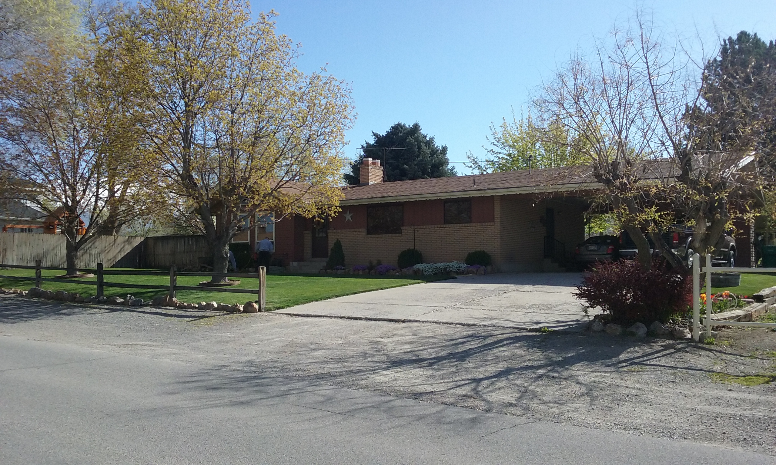
| Property Address: 1980 N 600 WEST - LEHI |
|
| Mailing Address: 1980 N 600 W LEHI, UT 84043-2866 |
|
| Acreage: 0.291339 |
|
| Last Document:
4553-2023
|
|
| Subdivision Map Filing |
|
| Taxing Description:
COM S 538.57 FT & W 2627.38 FT FR E 1/4 COR. SEC. 5, T5S, R1E, SLB&M.; N 0 DEG 27' 49" E 98.27 FT; N 89 DEG 50' 34" E .82 FT; N 89 DEG 51' 45" E 122.75 FT; S 0 DEG 22' 59" E 106.03 FT; N 86 DEG 35' 13" W 125.29 FT TO BEG. AREA 0.291 AC.
*Taxing description NOT FOR LEGAL DOCUMENTS
|
|
- Owner Names
- Value History
- Tax History
- Location
- Photos
- Documents
- Aerial Image
Main Menu Comments or Concerns on Value/Appraisal - Assessor's Office
Documents/Owner/Parcel information - Recorder's Office
Address Change for Tax Notice
This page was created on 8/22/2024 10:15:28 PM |