Property Information
mobile view
| Serial Number: 19:023:0227 |
Serial Life: 2020... |
|
|
 Total Photos: 10
|
| |
|
|
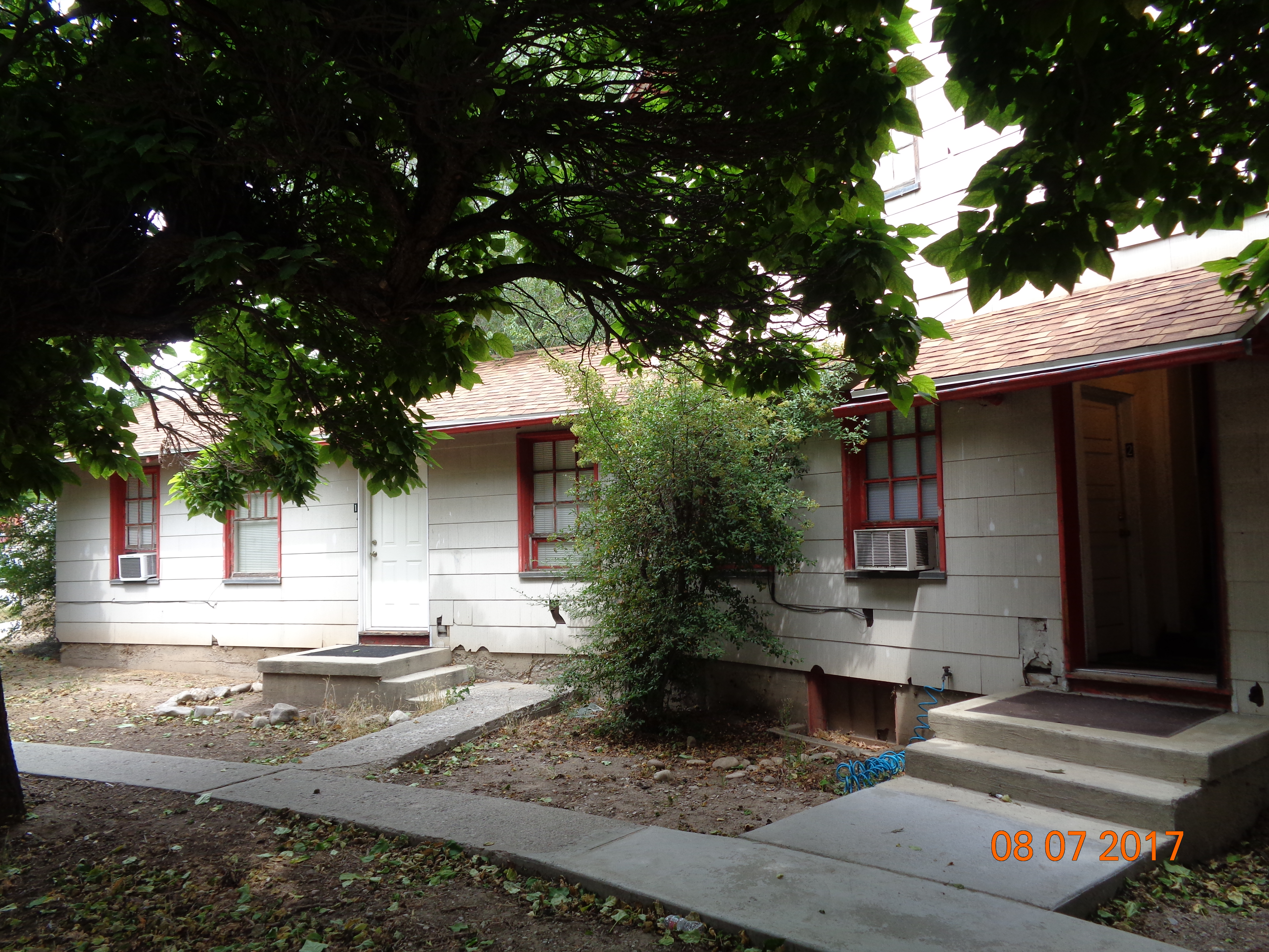
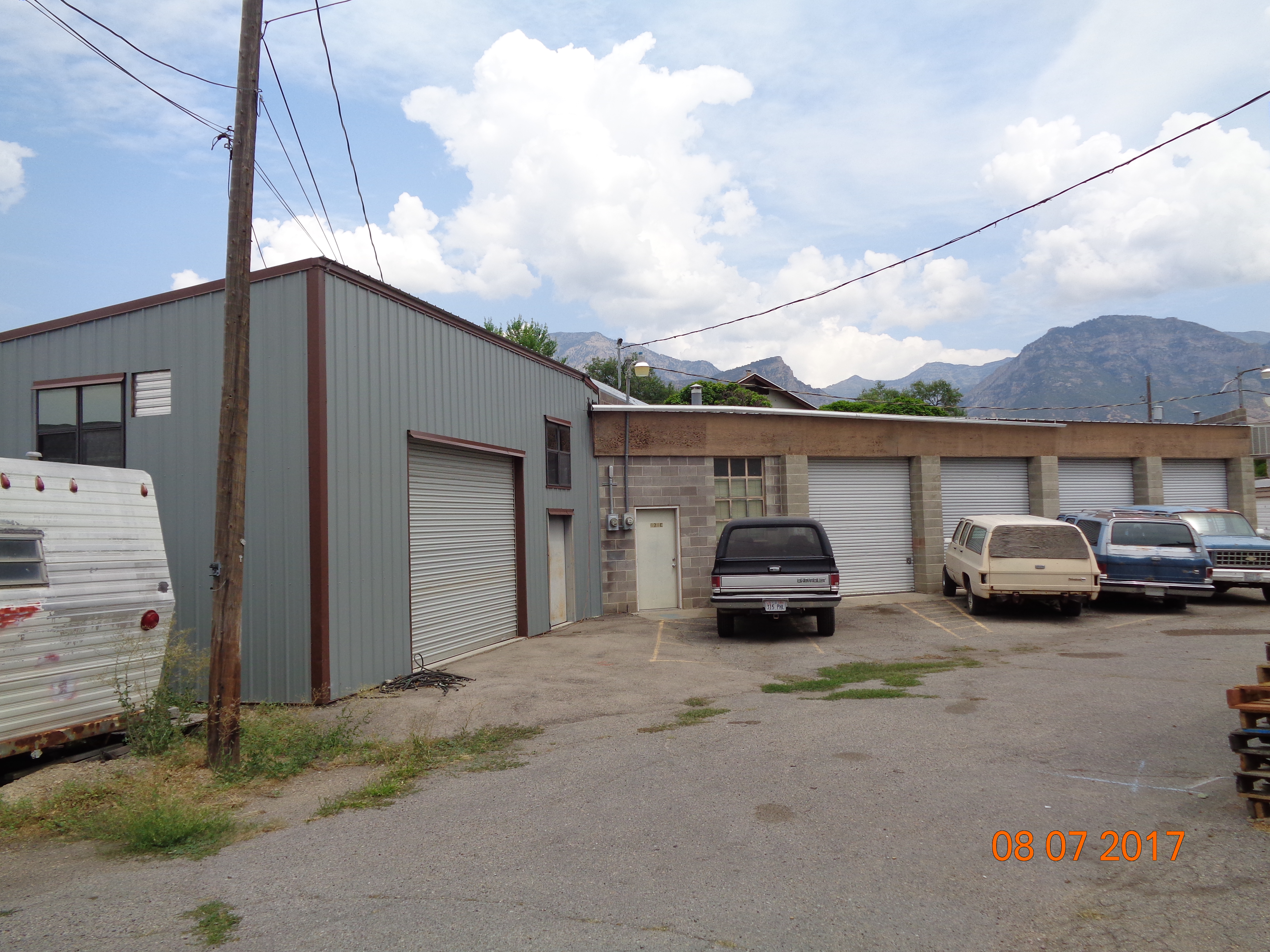
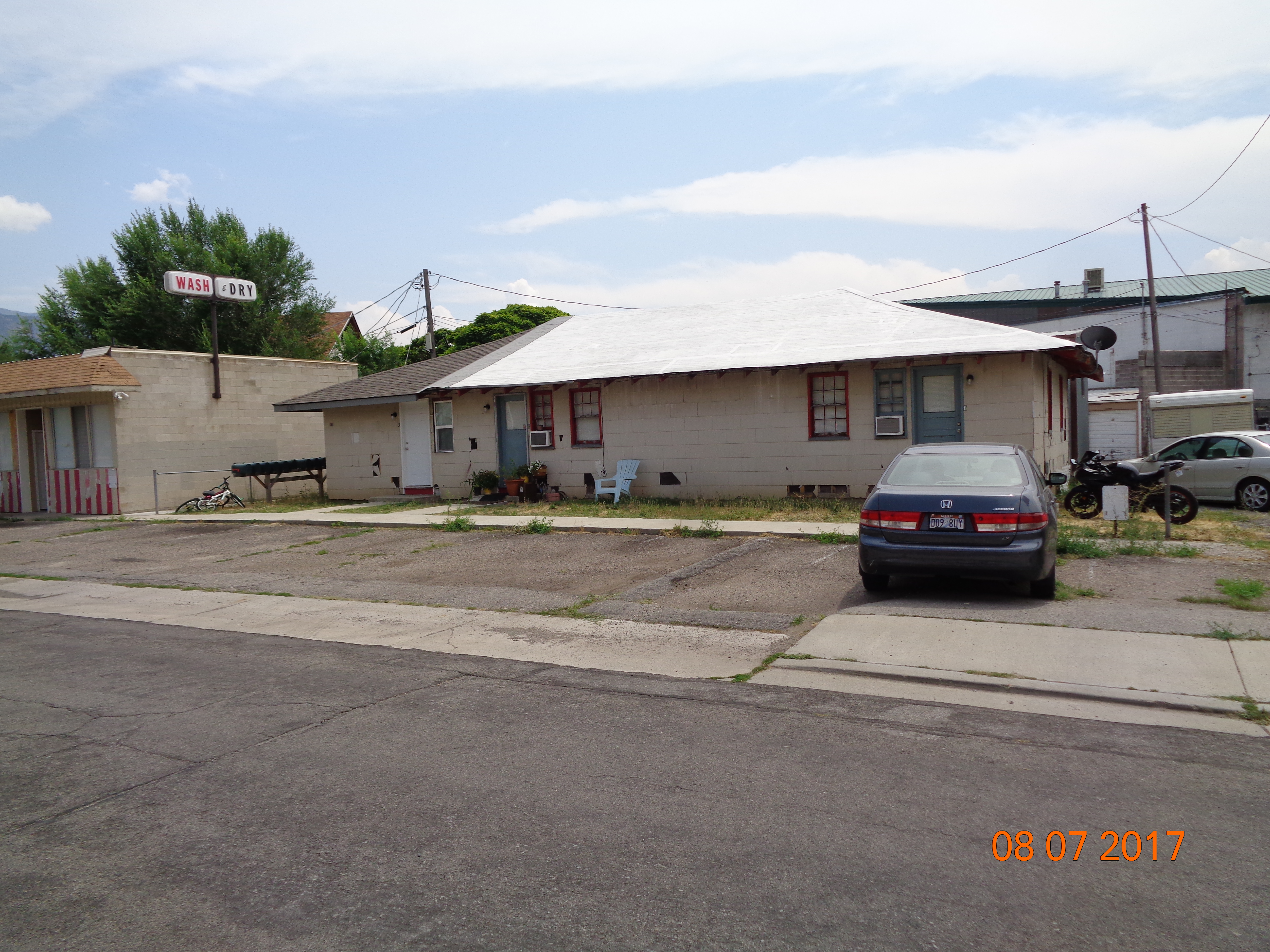
| Property Address: 630 E 1700 SOUTH - OREM |
|
| Mailing Address: PO BOX 970391 OREM, UT 84097 |
|
| Acreage: 0.339257 |
|
| Last Document:
114821-2019
|
|
| Subdivision Map Filing |
|
| Taxing Description:
COM S 646.292 FT & W 1128.274 FT FR E 1/4 COR. SEC. 26, T6S, R2E, SLB&M.; S 0 DEG 25' 13" E 54.77 FT; S 89 DEG 35' 7" E 105.597 FT; S 4 DEG 27' 53" E 83.326 FT; S 88 DEG 39' 5" W 64.751 FT; N 38 DEG 28' 0" W 64.22 FT; N 89 DEG 41' 14" W 84.92 FT; N 0 DEG 13' 5" W 89.89 FT; S 89 DEG 27' 0" E 77.69 FT TO BEG. AREA 0.339 AC.
*Taxing description NOT FOR LEGAL DOCUMENTS
|
|
- Owner Names
- Value History
- Tax History
- Location
- Photos
- Documents
- Aerial Image
| |
----- Real Estate Values ----- |
---Improvements--- |
---Greenbelt--- |
Total |
| Year |
Com |
Res |
Agr |
Tot |
Com |
Res |
Agr |
Tot |
Land |
Homesite |
Tot |
Market Value |
| 2024 |
$109,800 |
$71,700 |
$0 |
$181,500 |
$78,300 |
$133,200 |
$0 |
$211,500 |
$0 |
$0 |
$0 |
$393,000 |
| 2023 |
$108,700 |
$71,000 |
$0 |
$179,700 |
$77,500 |
$131,900 |
$0 |
$209,400 |
$0 |
$0 |
$0 |
$389,100 |
| 2022 |
$108,700 |
$70,000 |
$0 |
$178,700 |
$77,500 |
$117,000 |
$0 |
$194,500 |
$0 |
$0 |
$0 |
$373,200 |
| 2021 |
$108,700 |
$63,500 |
$0 |
$172,200 |
$77,500 |
$106,500 |
$0 |
$184,000 |
$0 |
$0 |
$0 |
$356,200 |
| 2020 |
$108,700 |
$60,500 |
$0 |
$169,200 |
$63,900 |
$101,500 |
$0 |
$165,400 |
$0 |
$0 |
$0 |
$334,600 |
| Year |
General Taxes |
Adjustments |
Net Taxes |
Fees |
Payments |
Tax Balance* |
Balance Due |
Tax District |
| 2025 |
$0.00 |
$0.00 |
$0.00 |
$0.00 |
|
$0.00
|
$0.00 |
090 - OREM CITY |
| 2024 |
$2,459.90 |
$0.00 |
$2,459.90 |
$0.00 |
|
$0.00
|
$0.00 |
090 - OREM CITY |
| 2023 |
$2,265.92 |
$0.00 |
$2,265.92 |
$0.00 |
|
$0.00
|
$0.00 |
090 - OREM CITY |
| 2022 |
$2,270.20 |
$0.00 |
$2,270.20 |
$0.00 |
|
$0.00
|
$0.00 |
090 - OREM CITY |
| 2021 |
$2,637.01 |
$0.00 |
$2,637.01 |
$0.00 |
|
$0.00
|
$0.00 |
090 - OREM CITY |
| 2020 |
$2,510.49 |
$0.00 |
$2,510.49 |
$0.00 |
|
$0.00
|
$0.00 |
090 - OREM CITY |
* Note: Original tax amount (Does not include applicable interest and/or fees).
| Entry # |
Date |
Recorded |
Type |
Party1 (Grantor) |
Party2 (Grantee) |
| 15368-2021 |
01/25/2021 |
01/27/2021 |
MOD AGR |
AVANESYAN, ARTAK & MGER |
H & P PROPERTIES LLC |
| 3238-2020 |
01/09/2020 |
01/10/2020 |
CORR AF |
SECURITY TITLE AND ABSTRACT COMPANY |
WHOM OF INTEREST |
| 123971-2019 |
11/25/2019 |
11/25/2019 |
D TR |
AVANESYAN, ARTAK & MGER |
H & PROPERTIES LLC |
| 123970-2019 |
02/06/2019 |
11/25/2019 |
WD |
H & P PROPERTIES LLC |
AVANESYAN, ARTAK & MGER |
| 114821-2019 |
10/29/2019 |
11/05/2019 |
CORR AF |
SECURITY TITLE AND ABSTRACT COMPANY (ET AL) |
WHOM OF INTEREST |
Main Menu Comments or Concerns on Value/Appraisal - Assessor's Office
Documents/Owner/Parcel information - Recorder's Office
Address Change for Tax Notice
This page was created on 2/17/2025 1:11:57 PM |