Property Information
mobile view
| Serial Number: 21:042:0192 |
Serial Life: 2007 |
|
|

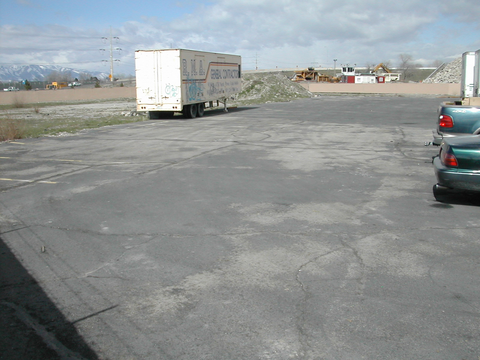
Total Photos: 1
|
| |
|
|
| Property Address: |
|
| Mailing Address: PO BOX 9199 OGDEN, UT 84409-0199 |
|
| Acreage: 1.482801 |
|
| Last Document:
58783-2006
|
|
| Subdivision Map Filing |
|
| Taxing Description:
COM S 89 DEG 38' 22" W 1050.96 FT & S 592.21 FT FR NE COR. SEC. 11, T7S, R2E, SLB&M.; S 89 DEG 38' 20" E 112.27 FT; N 49 DEG 39' 12" E 38.16 FT; S 45 DEG 0' 0" E 206.57 FT; S 1 DEG 0' 0" W 110.08 FT; ALONG A CURVE TO L (CHORD BEARS: S 64 DEG 31' 38" W 19.32 FT, RADIUS = 50 FT); ALONG A CURVE TO R (CHORD BEARS: S 71 DEG 24' 50" W 30.94 FT, RADIUS = 50 FT); S 89 DEG 59' 54" W 238.74 FT; N 250.3 FT TO BEG. AREA 1.483 AC.
*Taxing description NOT FOR LEGAL DOCUMENTS
|
|
- Owner Names
- Value History
- Tax History
- Location
- Photos
- Documents
- Aerial Image
Main Menu Comments or Concerns on Value/Appraisal - Assessor's Office
Documents/Owner/Parcel information - Recorder's Office
Address Change for Tax Notice
This page was created on 7/31/2024 5:46:13 AM |