Property Information
mobile view
| Serial Number: 23:023:0102 |
Serial Life: 2008 |
|
|
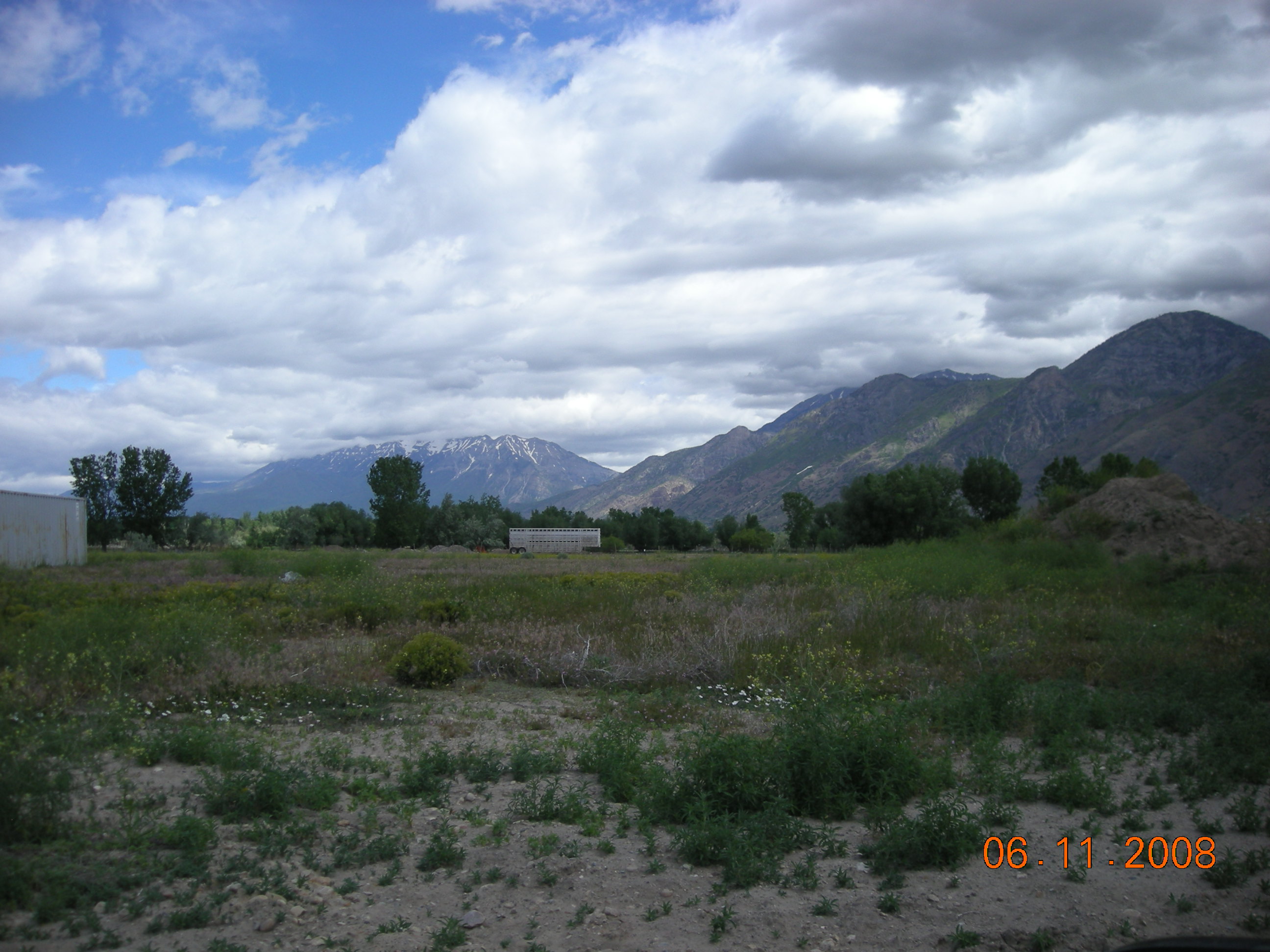
Total Photos: 1
|
| |
|
|
| Property Address: |
|
| Mailing Address: 1237 N 1200 W MAPLETON, UT 84664-3328 |
|
| Acreage: 0.545618 |
|
| Last Document:
34440-2007
|
|
| Subdivision Map Filing |
|
| Taxing Description:
COM N 2200.76 FT & E 954.44 FT FR SW COR. SEC. 30, T7S, R3E, SLB&M.; N 21 DEG 49' 53" E 174.9 FT; S 89 DEG 34' 0" E 113.23 FT; S 0 DEG 12' 23" E 162.69 FT; N 89 DEG 37' 0" W 178.86 FT TO BEG. AREA 0.546 AC.
*Taxing description NOT FOR LEGAL DOCUMENTS
|
|
- Owner Names
- Value History
- Tax History
- Location
- Photos
- Documents
- Aerial Image
Main Menu Comments or Concerns on Value/Appraisal - Assessor's Office
Documents/Owner/Parcel information - Recorder's Office
Address Change for Tax Notice
This page was created on 7/21/2024 5:21:32 PM |