Property Information
mobile view
| Serial Number: 26:033:0187 |
Serial Life: 2019... |
|
|
 Total Photos: 10
|
| |
|
|
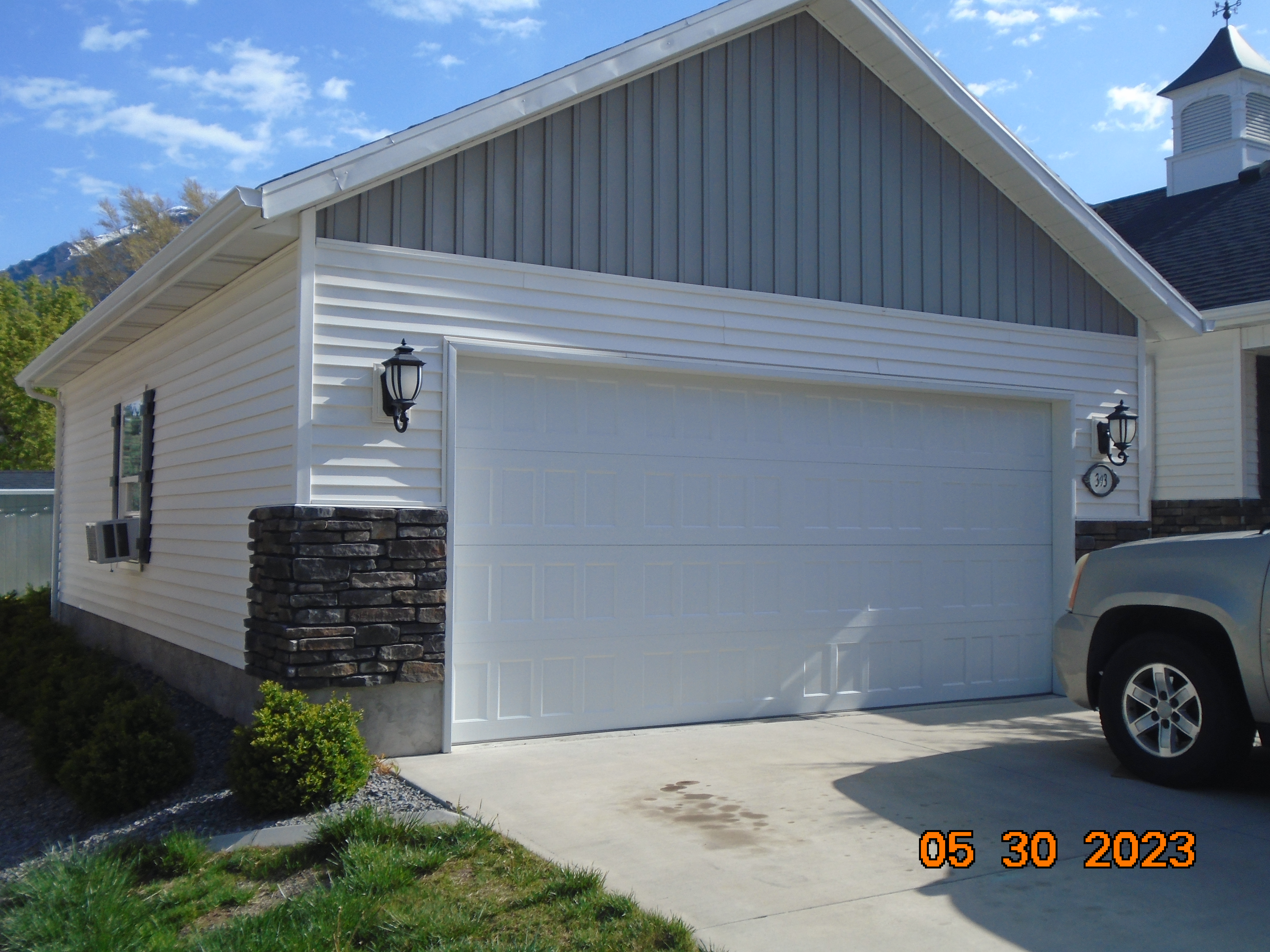
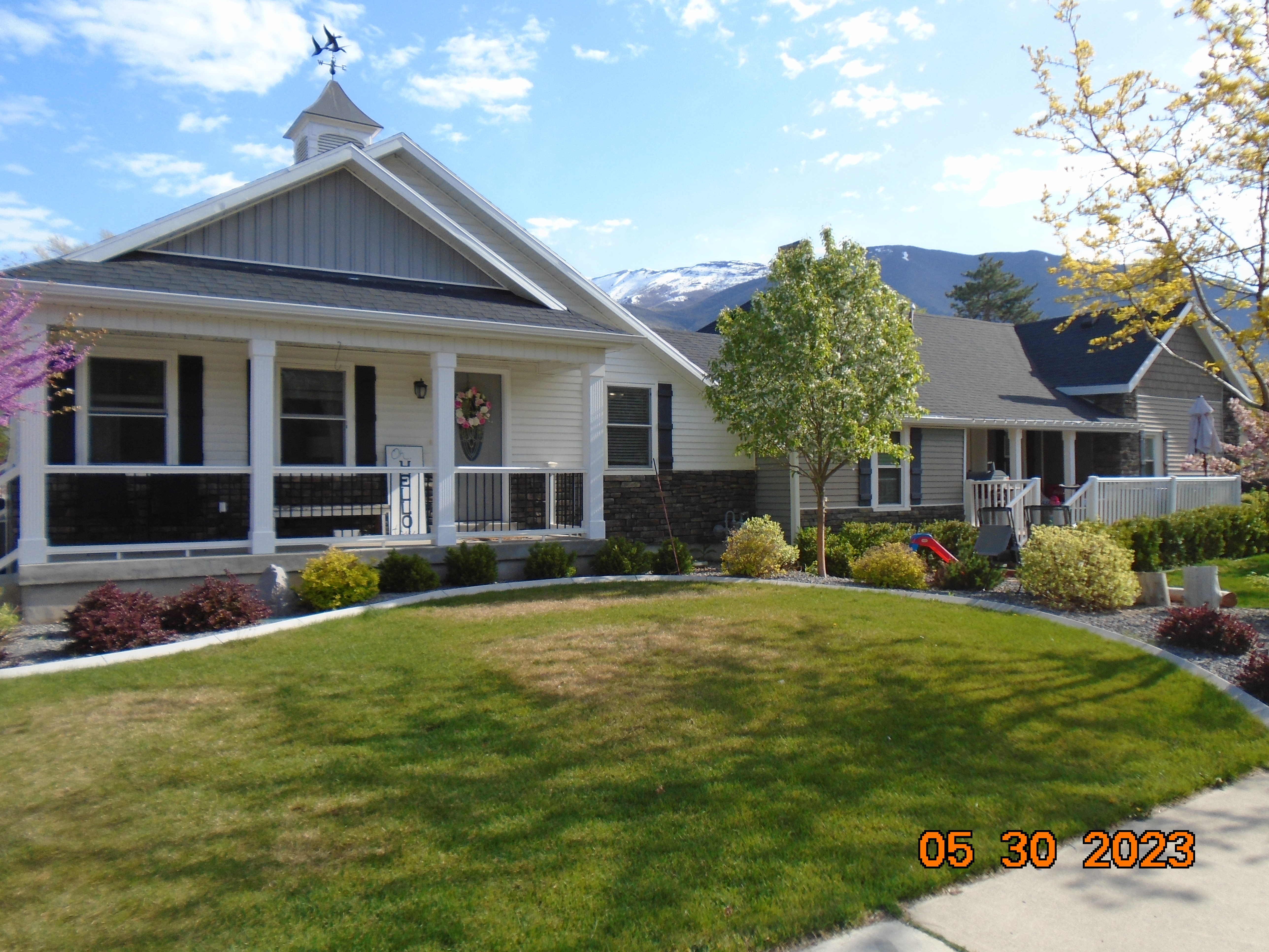
| Property Address: 696 S 400 EAST - SPRINGVILLE |
|
| Mailing Address: 356 S 1210 E PLEASANT GROVE, UT 84062-3273 |
|
| Acreage: 0.456437 |
|
| Last Document:
30770-2018
|
|
| Subdivision Map Filing |
|
| Taxing Description:
COM S 794.03 FT & E 1052.66 FT FR N 1/4 COR. SEC. 4, T8S, R3E, SLB&M.; S 89 DEG 39' 59" E 163.31 FT; S 0 DEG 20' 0" W 121.5 FT; N 89 DEG 50' 10" W 163.5 FT; N 0 DEG 25' 25" E 121.99 FT TO BEG. AREA 0.456 AC.
*Taxing description NOT FOR LEGAL DOCUMENTS
|
|
- Owner Names
- Value History
- Tax History
- Location
- Photos
- Documents
- Aerial Image
| |
----- Real Estate Values ----- |
---Improvements--- |
---Greenbelt--- |
Total |
| Year |
Com |
Res |
Agr |
Tot |
Com |
Res |
Agr |
Tot |
Land |
Homesite |
Tot |
Market Value |
| 2024 |
$0 |
$208,000 |
$0 |
$208,000 |
$0 |
$624,300 |
$0 |
$624,300 |
$0 |
$0 |
$0 |
$832,300 |
| 2023 |
$0 |
$205,900 |
$0 |
$205,900 |
$0 |
$618,100 |
$0 |
$618,100 |
$0 |
$0 |
$0 |
$824,000 |
| 2022 |
$0 |
$189,800 |
$0 |
$189,800 |
$0 |
$569,700 |
$0 |
$569,700 |
$0 |
$0 |
$0 |
$759,500 |
| 2021 |
$0 |
$146,000 |
$0 |
$146,000 |
$0 |
$438,200 |
$0 |
$438,200 |
$0 |
$0 |
$0 |
$584,200 |
| 2020 |
$0 |
$135,900 |
$0 |
$135,900 |
$0 |
$407,700 |
$0 |
$407,700 |
$0 |
$0 |
$0 |
$543,600 |
| 2019 |
$0 |
$126,400 |
$0 |
$126,400 |
$0 |
$379,300 |
$0 |
$379,300 |
$0 |
$0 |
$0 |
$505,700 |
| Year |
General Taxes |
Adjustments |
Net Taxes |
Fees |
Payments |
Tax Balance* |
Balance Due |
Tax District |
| 2025 |
$0.00 |
$0.00 |
$0.00 |
$0.00 |
|
$0.00
|
$0.00 |
130 - SPRINGVILLE CITY |
| 2024 |
$4,468.24 |
$0.00 |
$4,468.24 |
$0.00 |
|
|
Click for Payoff
|
130 - SPRINGVILLE CITY |
| 2023 |
$4,419.15 |
$0.00 |
$4,419.15 |
$0.00 |
|
$0.00
|
$0.00 |
130 - SPRINGVILLE CITY |
| 2022 |
$4,147.59 |
$0.00 |
$4,147.59 |
$0.00 |
|
$0.00
|
$0.00 |
130 - SPRINGVILLE CITY |
| 2021 |
$3,726.55 |
$0.00 |
$3,726.55 |
$0.00 |
|
$0.00
|
$0.00 |
130 - SPRINGVILLE CITY |
| 2020 |
$3,576.70 |
$0.00 |
$3,576.70 |
$0.00 |
|
$0.00
|
$0.00 |
130 - SPRINGVILLE CITY |
| 2019 |
$3,268.36 |
$0.00 |
$3,268.36 |
$0.00 |
|
$0.00
|
$0.00 |
130 - SPRINGVILLE CITY |
* Note: Original tax amount (Does not include applicable interest and/or fees).
| Entry # |
Date |
Recorded |
Type |
Party1 (Grantor) |
Party2 (Grantee) |
| 64078-2020 |
05/12/2020 |
05/12/2020 |
REC |
CENTRAL BANK TEE |
BIRD, MARLON S & DENISE B |
| 63151-2020 |
05/08/2020 |
05/11/2020 |
D TR |
BIRD, MARLON SANFORD & DENISE BETH |
CENTRAL BANK |
| 60276-2018 |
06/15/2018 |
06/27/2018 |
REC |
CENTRAL BANK TEE |
BIRD, DENISE BETH & MARLON SANFORD |
| 48664-2018 |
05/21/2018 |
05/25/2018 |
D TR |
BIRD, MARLON SANFORD & DENISE BETH |
CENTRAL BANK |
| 30770-2018 |
03/02/2018 |
04/03/2018 |
BLA |
BIRD, DEAN A TEE (ET AL) |
BIRD, MARLON SANFORD & DENISE BETH |
Main Menu Comments or Concerns on Value/Appraisal - Assessor's Office
Documents/Owner/Parcel information - Recorder's Office
Address Change for Tax Notice
This page was created on 10/12/2024 11:38:06 AM |