Property Information
mobile view
| Serial Number: 27:001:0084 |
Serial Life: 2007-2013 |
|
|
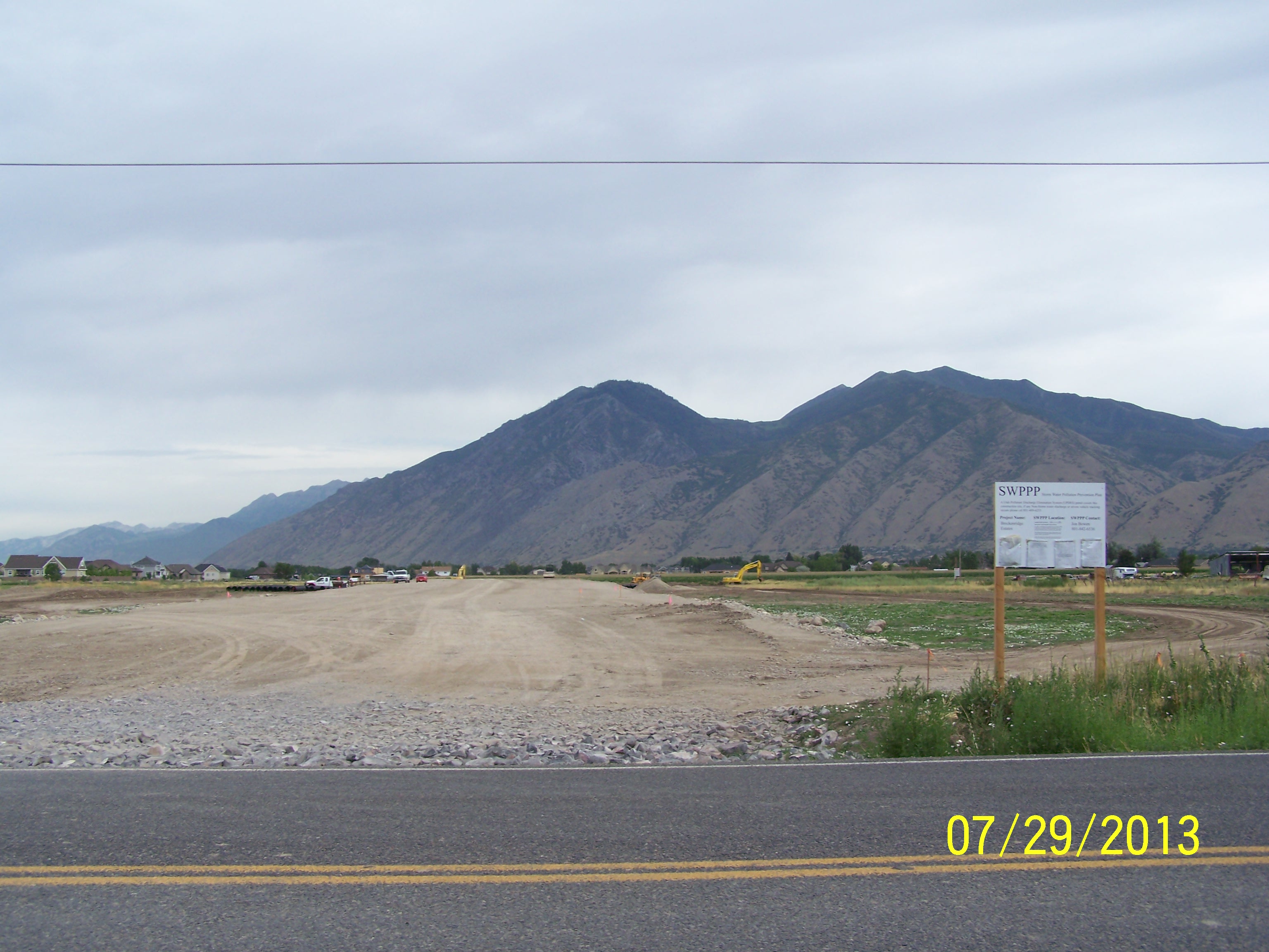
Total Photos: 1
|
| |
|
|
| Property Address: |
|
| Mailing Address: 560 S 300 E SALT LAKE CITY, UT 84111-3570 |
|
| Acreage: 7.419156 |
|
| Last Document:
1992-2007
|
|
| Subdivision Map Filing |
|
| Taxing Description:
COM N 484.29 FT & E 1611.13 FT FR SW COR. SEC. 15, T8S, R3E, SLB&M.; N 0 DEG 48' 19" W 835.79 FT; E 380.61 FT; S 952.46 FT; N 89 DEG 58' 51" E 18.72 FT; S 305.68 FT; S 89 DEG 56' 9" W 18.72 FT; S 40.73 FT; W 7.9 FT; N 0 DEG 48' 19" W 468.2 FT; S 89 DEG 11' 41" W 354.42 FT TO BEG. AREA 7.419 AC.
*Taxing description NOT FOR LEGAL DOCUMENTS
|
|
- Owner Names
- Value History
- Tax History
- Location
- Photos
- Documents
- Aerial Image
| |
----- Real Estate Values ----- |
---Improvements--- |
---Greenbelt--- |
Total |
| Year |
Com |
Res |
Agr |
Tot |
Com |
Res |
Agr |
Tot |
Land |
Homesite |
Tot |
Market Value |
| 2013 |
$0 |
$0 |
$222,600 |
$222,600 |
$0 |
$0 |
$0 |
$0 |
$0 |
$0 |
$0 |
$222,600 |
| 2012 |
$0 |
$0 |
$356,160 |
$356,160 |
$0 |
$0 |
$0 |
$0 |
$0 |
$0 |
$0 |
$356,160 |
| 2011 |
$0 |
$0 |
$356,160 |
$356,160 |
$0 |
$0 |
$0 |
$0 |
$0 |
$0 |
$0 |
$356,160 |
| 2010 |
$0 |
$0 |
$356,160 |
$356,160 |
$0 |
$0 |
$0 |
$0 |
$0 |
$0 |
$0 |
$356,160 |
| 2009 |
$0 |
$0 |
$356,160 |
$356,160 |
$0 |
$0 |
$0 |
$0 |
$0 |
$0 |
$0 |
$356,160 |
| 2008 |
$0 |
$0 |
$356,160 |
$356,160 |
$0 |
$0 |
$0 |
$0 |
$0 |
$0 |
$0 |
$356,160 |
| 2007 |
$0 |
$0 |
$356,160 |
$356,160 |
$0 |
$0 |
$0 |
$0 |
$0 |
$0 |
$0 |
$356,160 |
| Year |
General Taxes |
Adjustments |
Net Taxes |
Fees |
Payments |
Tax Balance* |
Balance Due |
Tax District |
| 2013 |
$3,271.55 |
$0.00 |
$3,271.55 |
$0.00 |
|
$0.00
|
$0.00 |
140 - MAPLETON CITY |
| 2012 |
$5,354.15 |
$0.00 |
$5,354.15 |
$0.00 |
|
$0.00
|
$0.00 |
140 - MAPLETON CITY |
| 2011 |
$5,241.96 |
$0.00 |
$5,241.96 |
$0.00 |
|
$0.00
|
$0.00 |
140 - MAPLETON CITY |
| 2010 |
$5,094.51 |
$0.00 |
$5,094.51 |
$0.00 |
|
$0.00
|
$0.00 |
140 - MAPLETON CITY |
| 2009 |
$4,768.63 |
$0.00 |
$4,768.63 |
$0.00 |
|
$0.00
|
$0.00 |
140 - MAPLETON CITY |
| 2008 |
$4,343.73 |
$0.00 |
$4,343.73 |
$0.00 |
|
$0.00
|
$0.00 |
140 - MAPLETON CITY |
| 2007 |
$4,064.50 |
$0.00 |
$4,064.50 |
$0.00 |
|
$0.00
|
$0.00 |
140 - MAPLETON CITY |
* Note: Original tax amount (Does not include applicable interest and/or fees).
| Entry # |
Date |
Recorded |
Type |
Party1 (Grantor) |
Party2 (Grantee) |
| 17612-2013 |
02/22/2013 |
02/25/2013 |
AFF SUR |
POULSEN, CHAD A SURV |
WHOM OF INTEREST |
| 39132-2012 |
05/09/2012 |
05/10/2012 |
QCD |
BBSB PROPERTIES LC |
FAE HOLDINGS 412379R LLC |
| 39131-2012 |
05/09/2012 |
05/10/2012 |
WD W |
BBSB PROPERTIES LC |
FAE HOLDINGS 412379R LLC |
| 112431-2007 |
08/02/2007 |
08/03/2007 |
TR D |
RICHARDSON, TARALEE |
HOT PROPERTIES LENDING |
| 58616-2007 |
04/23/2007 |
04/23/2007 |
R FARM |
UTAH COUNTY TREASURER |
WISCOMBE, HELENW & JOSEPH WILLIAM |
| 2073-2007 |
01/02/2007 |
01/04/2007 |
D TR |
BBSB PROPERTIES LC |
CENTRAL BANK |
| 1992-2007 |
01/02/2007 |
01/04/2007 |
WD W |
WISCOMBE, JOSEPH WILLIAM |
BBSB PROPERTIES LC |
| 530-2007 |
01/02/2007 |
01/03/2007 |
BLA |
WISCOMBE, JOSEPH WILLIAM |
BILLS, BRYAN M & JOAN J |
| 170660-2006 |
10/20/2006 |
12/19/2006 |
BLA |
WISCOMBE, JOSEPH WILLIAM |
ERICKSON, JOY |
| 170659-2006 |
10/20/2006 |
12/19/2006 |
BLA |
WISCOMBE, JOSEPH WILLIAM |
LARSEN, DUANE & KENT W (ET AL) |
| 170390-2006 |
10/20/2006 |
12/18/2006 |
BLA |
WISCOMBE, JOSEPH WILLIAM |
JENSEN, RON P & SANDRA K |
| 167359-2006 |
11/28/2006 |
12/12/2006 |
BLA |
BAKER, LISA |
WISCOMBE, JOSEPH WILLIAM |
Main Menu Comments or Concerns on Value/Appraisal - Assessor's Office
Documents/Owner/Parcel information - Recorder's Office
Address Change for Tax Notice
This page was created on 7/31/2024 8:09:07 PM |