Property Information
mobile view
| Serial Number: 30:050:0110 |
Serial Life: 2021... |
|
|
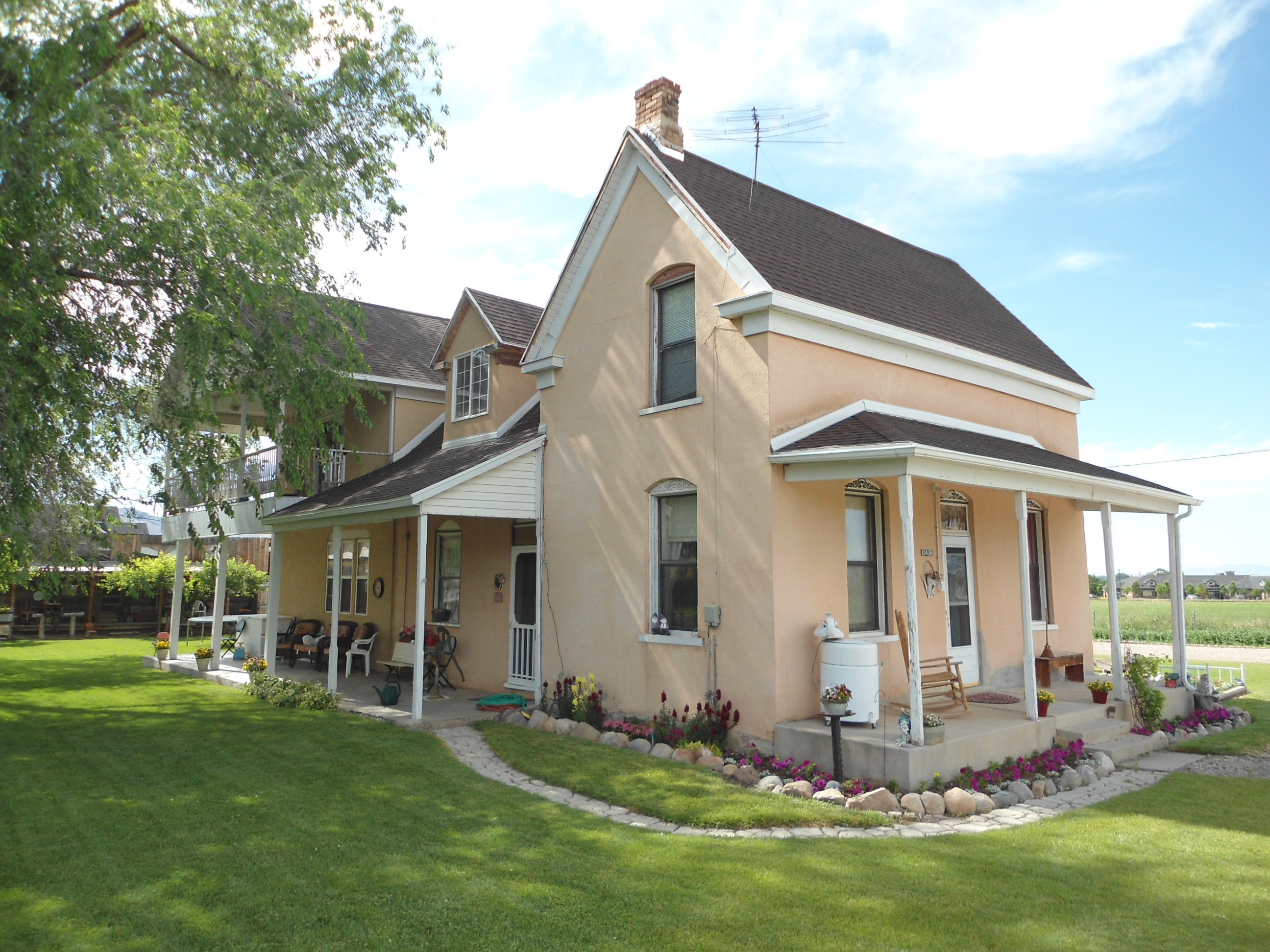 Total Photos: 1
|
| |
|
|
| Property Address: 10438 S 2300 WEST - PAYSON |
|
| Mailing Address: 10438 S 2300 W PAYSON, UT 84651-9564 |
|
| Acreage: 6.815356 |
|
| Last Document:
135327-2020
|
|
| Subdivision Map Filing |
|
| Taxing Description:
COM N 89 DEG 31' 36" E 509.32 FT ALONG SEC. LINE & S 247.03 FT FR NW COR. SEC. 15, T9S, R2E, SLB&M.; N 89 DEG 41' 31" W 185.52 FT; N 89 DEG 21' 26" W 40.98 FT; S 0 DEG 39' 56" W 128.62 FT; N 89 DEG 20' 0" W 273.28 FT; S 0 DEG 40' 0" W 534.56 FT; S 89 DEG 31' 13" E 10.48 FT; S 89 DEG 31' 4" E 72.47 FT; S 88 DEG 58' 39" E 258.2 FT; S 89 DEG 20' 2" E 160.65 FT; N 0 DEG 20' 59" E 421.77 FT; N 0 DEG 44' 21" E 243.93 FT TO BEG. AREA 6.815 AC.
*Taxing description NOT FOR LEGAL DOCUMENTS
|
|
- Owner Names
- Value History
- Tax History
- Location
- Photos
- Documents
- Aerial Image
| |
----- Real Estate Values ----- |
---Improvements--- |
---Greenbelt--- |
Total |
| Year |
Com |
Res |
Agr |
Tot |
Com |
Res |
Agr |
Tot |
Land |
Homesite |
Tot |
Market Value |
| 2024 |
$0 |
$219,000 |
$376,400 |
$595,400 |
$0 |
$229,900 |
$0 |
$229,900 |
$4,008 |
$112,000 |
$116,008 |
$825,300 |
| 2023 |
$0 |
$219,000 |
$376,400 |
$595,400 |
$0 |
$216,300 |
$0 |
$216,300 |
$3,679 |
$112,000 |
$115,679 |
$811,700 |
| 2022 |
$0 |
$233,500 |
$401,300 |
$634,800 |
$0 |
$180,700 |
$0 |
$180,700 |
$3,719 |
$112,000 |
$115,719 |
$815,500 |
| 2021 |
$0 |
$166,800 |
$267,500 |
$434,300 |
$0 |
$136,900 |
$0 |
$136,900 |
$3,646 |
$80,000 |
$83,646 |
$571,200 |
| Year |
General Taxes |
Adjustments |
Net Taxes |
Fees |
Payments |
Tax Balance* |
Balance Due |
Tax District |
| 2025 |
$0.00 |
$0.00 |
$0.00 |
$0.00 |
|
$0.00
|
$0.00 |
170 - PAYSON CITY |
| 2024 |
$1,887.11 |
$0.00 |
$1,887.11 |
$0.00 |
|
|
Click for Payoff
|
170 - PAYSON CITY |
| 2023 |
$1,805.41 |
$0.00 |
$1,805.41 |
$0.00 |
|
$0.00
|
$0.00 |
170 - PAYSON CITY |
| 2022 |
$1,640.95 |
$0.00 |
$1,640.95 |
$0.00 |
|
$0.00
|
$0.00 |
170 - PAYSON CITY |
| 2021 |
$1,388.50 |
$0.00 |
$1,388.50 |
$0.00 |
|
$0.00
|
$0.00 |
170 - PAYSON CITY |
* Note: Original tax amount (Does not include applicable interest and/or fees).
| Entry # |
Date |
Recorded |
Type |
Party1 (Grantor) |
Party2 (Grantee) |
| 6612-2022 |
01/12/2022 |
01/18/2022 |
REC |
FIRST AMERICAN TITLE INSURANCE COMPANY TEE |
JOHNSON, WALTER JAN |
| 6611-2022 |
01/12/2022 |
01/18/2022 |
SUB TEE |
MORTGAGE ELECTRONIC REGISTRATION SYSTEMS INC |
FIRST AMERICAN TITLE INSURANCE COMPANY SUBTEE |
| 101519-2021 |
06/02/2021 |
06/02/2021 |
REC |
ZIONS FIRST NATIONAL BANK TEE |
DANSIE, RANDLE J & PHYLLIS S |
| 55818-2021 |
03/22/2021 |
03/25/2021 |
FARM |
ZEEMAN, ROBERT & LYNETTE |
WHOM OF INTEREST |
| 165647-2020 |
10/07/2020 |
10/22/2020 |
MOD AGR |
JOHNSON, WALTER JAN |
US BANK NA |
| 135327-2020 |
09/04/2020 |
09/04/2020 |
BLA |
WEBSTER, JOSHUA D & JENNIFER LYNN TEE (ET AL) |
ZEEMAN, ROBERT & LYNETTE |
Main Menu Comments or Concerns on Value/Appraisal - Assessor's Office
Documents/Owner/Parcel information - Recorder's Office
Address Change for Tax Notice
This page was created on 10/7/2024 10:19:22 PM |