Property Information
mobile view
| Serial Number: 34:586:0009 |
Serial Life: 2017... |
|
|

Total Photos: 3
|
| |
|
|
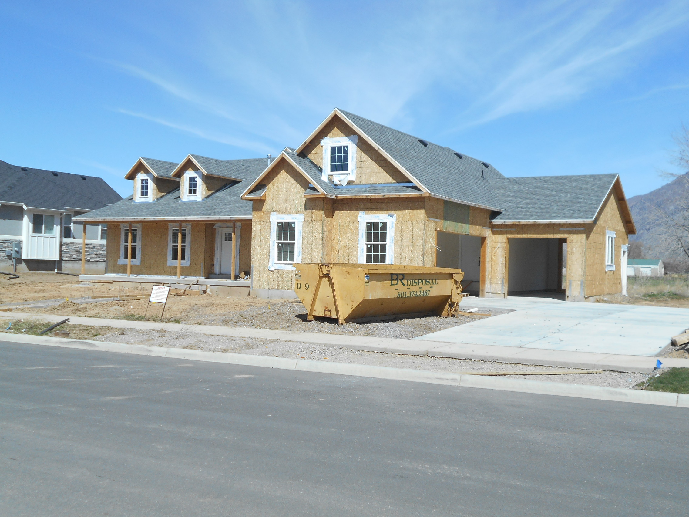
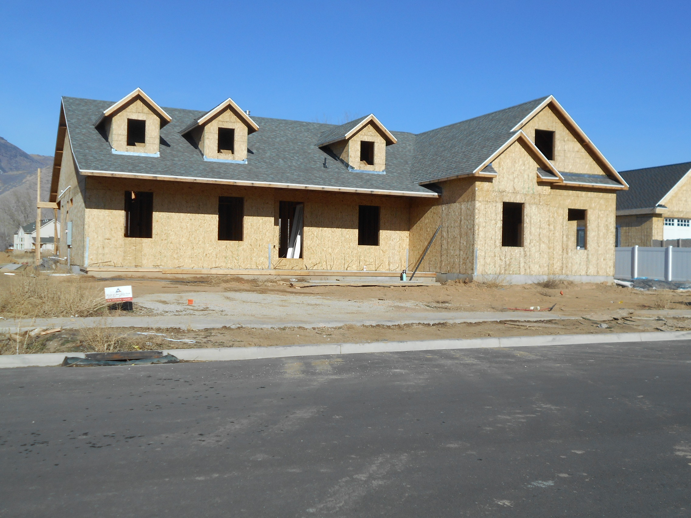
| Property Address: 150 W 600 SOUTH - MAPLETON |
|
| Mailing Address: 150 W 600 S MAPLETON, UT 84664 |
|
| Acreage: 0.499705 |
|
| Last Document:
133195-2019
|
|
| Subdivision Map Filing |
|
| Taxing Description:
LOT 9, PLAT A, AUTUMN LANE SUB AREA 0.500 AC.
*Taxing description NOT FOR LEGAL DOCUMENTS
|
|
- Owner Names
- Value History
- Tax History
- Location
- Photos
- Documents
- Aerial Image
| |
----- Real Estate Values ----- |
---Improvements--- |
---Greenbelt--- |
Total |
| Year |
Com |
Res |
Agr |
Tot |
Com |
Res |
Agr |
Tot |
Land |
Homesite |
Tot |
Market Value |
| 2024 |
$0 |
$320,200 |
$0 |
$320,200 |
$0 |
$624,700 |
$0 |
$624,700 |
$0 |
$0 |
$0 |
$944,900 |
| 2023 |
$0 |
$320,100 |
$0 |
$320,100 |
$0 |
$657,800 |
$0 |
$657,800 |
$0 |
$0 |
$0 |
$977,900 |
| 2022 |
$0 |
$341,300 |
$0 |
$341,300 |
$0 |
$660,900 |
$0 |
$660,900 |
$0 |
$0 |
$0 |
$1,002,200 |
| 2021 |
$0 |
$220,200 |
$0 |
$220,200 |
$0 |
$508,400 |
$0 |
$508,400 |
$0 |
$0 |
$0 |
$728,600 |
| 2020 |
$0 |
$194,900 |
$0 |
$194,900 |
$0 |
$488,800 |
$0 |
$488,800 |
$0 |
$0 |
$0 |
$683,700 |
| 2019 |
$0 |
$194,900 |
$0 |
$194,900 |
$0 |
$397,300 |
$0 |
$397,300 |
$0 |
$0 |
$0 |
$592,200 |
| 2018 |
$0 |
$166,500 |
$0 |
$166,500 |
$0 |
$0 |
$0 |
$0 |
$0 |
$0 |
$0 |
$166,500 |
| 2017 |
$0 |
$154,300 |
$0 |
$154,300 |
$0 |
$0 |
$0 |
$0 |
$0 |
$0 |
$0 |
$154,300 |
| Year |
General Taxes |
Adjustments |
Net Taxes |
Fees |
Payments |
Tax Balance* |
Balance Due |
Tax District |
| 2025 |
$0.00 |
$0.00 |
$0.00 |
$0.00 |
|
$0.00
|
$0.00 |
140 - MAPLETON CITY |
| 2024 |
$0.00 |
$0.00 |
$0.00 |
$0.00 |
|
$0.00
|
$0.00 |
140 - MAPLETON CITY |
| 2023 |
$5,455.90 |
$0.00 |
$5,455.90 |
$0.00 |
|
$0.00
|
$0.00 |
140 - MAPLETON CITY |
| 2022 |
$5,654.86 |
$0.00 |
$5,654.86 |
$0.00 |
|
$0.00
|
$0.00 |
140 - MAPLETON CITY |
| 2021 |
$4,868.47 |
$0.00 |
$4,868.47 |
$0.00 |
|
$0.00
|
$0.00 |
140 - MAPLETON CITY |
| 2020 |
$4,723.00 |
$0.00 |
$4,723.00 |
$0.00 |
|
$0.00
|
$0.00 |
140 - MAPLETON CITY |
| 2019 |
$4,007.86 |
$0.00 |
$4,007.86 |
$0.00 |
|
$0.00
|
$0.00 |
140 - MAPLETON CITY |
| 2018 |
$2,152.18 |
$0.00 |
$2,152.18 |
$0.00 |
|
$0.00
|
$0.00 |
140 - MAPLETON CITY |
| 2017 |
$2,067.00 |
$0.00 |
$2,067.00 |
$0.00 |
|
$0.00
|
$0.00 |
140 - MAPLETON CITY |
* Note: Original tax amount (Does not include applicable interest and/or fees).
| Entry # |
Date |
Recorded |
Type |
Party1 (Grantor) |
Party2 (Grantee) |
| 133195-2019 |
12/16/2019 |
12/16/2019 |
WD |
COLWELL, JEANI |
COLWELL, JEANI & GLORIA J AKA (ET AL) |
| 56337-2018 |
06/11/2018 |
06/18/2018 |
REC |
BANK OF AMERICAN FORK TEE |
FRANDSEN, MATTHEW & MARIA CARMEN |
| 49077-2018 |
05/25/2018 |
05/25/2018 |
WD |
FRANDSEN, MATTHEW & MARIA CARMEN |
COLWELL, JEANI |
| 76367-2017 |
07/31/2017 |
08/07/2017 |
REC |
UTAH COMMUNITY FEDERAL CREDIT UNION TEE |
AUTUMN LANE SUBDIVISION LLC |
| 10991-2017 |
11/14/2016 |
02/02/2017 |
GEO HAZ |
FRANDSEN, MARIA CARMEN |
MAPLETON CITY CORPORATION |
| 94221-2016 |
09/22/2016 |
09/26/2016 |
P REC |
UTAH COMMUNITY FEDERAL CREDIT UNION TEE |
AUTUMN LANE SUBDIVISION LLC |
| 92358-2016 |
09/20/2016 |
09/21/2016 |
D TR |
FRANDSEN, MATTHEW & MARIA CARMEN |
BANK OF AMERICAN FORK DIV OF (ET AL) |
| 92357-2016 |
09/13/2016 |
09/21/2016 |
WD |
AUTUMN LANE SUBDIVISION LLC |
FRANDSEN, MATTHEW & MARIA CARMEN |
| 64684-2016 |
07/14/2016 |
07/14/2016 |
RES COV |
AUTUMN LANE SUBDIVISION LLC |
WHOM OF INTEREST |
| 61506-2016 |
10/07/2015 |
07/05/2016 |
S PLAT |
AUTUMN LANE SUBDIVISION LLC |
AUTUMN LANE PLAT A |
Main Menu Comments or Concerns on Value/Appraisal - Assessor's Office
Documents/Owner/Parcel information - Recorder's Office
Address Change for Tax Notice
This page was created on 7/31/2024 4:44:28 PM |