Property Information
mobile view
| Serial Number: 41:837:0001 |
Serial Life: 2017... |
|
|
Total Photos: 3
|
| |
|
|
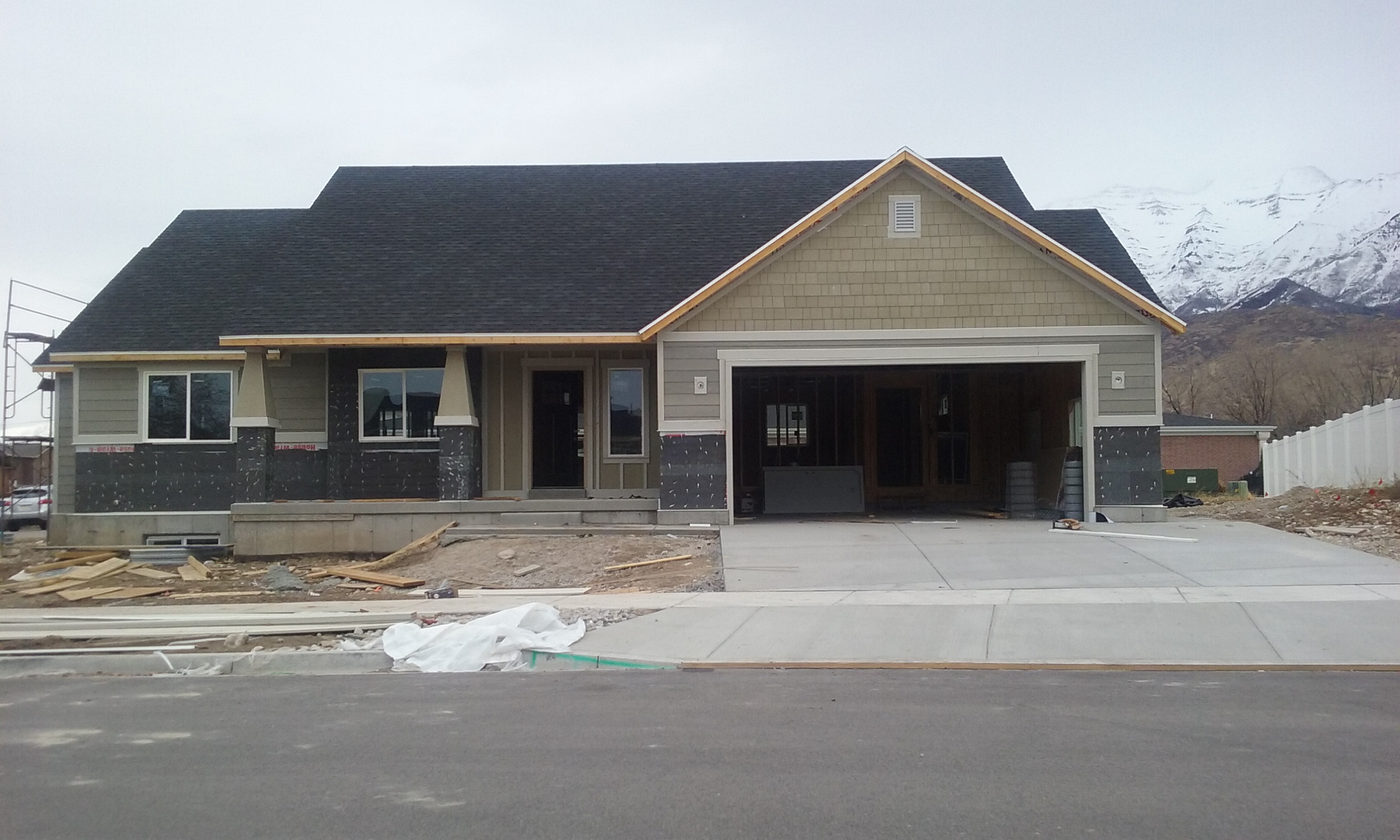
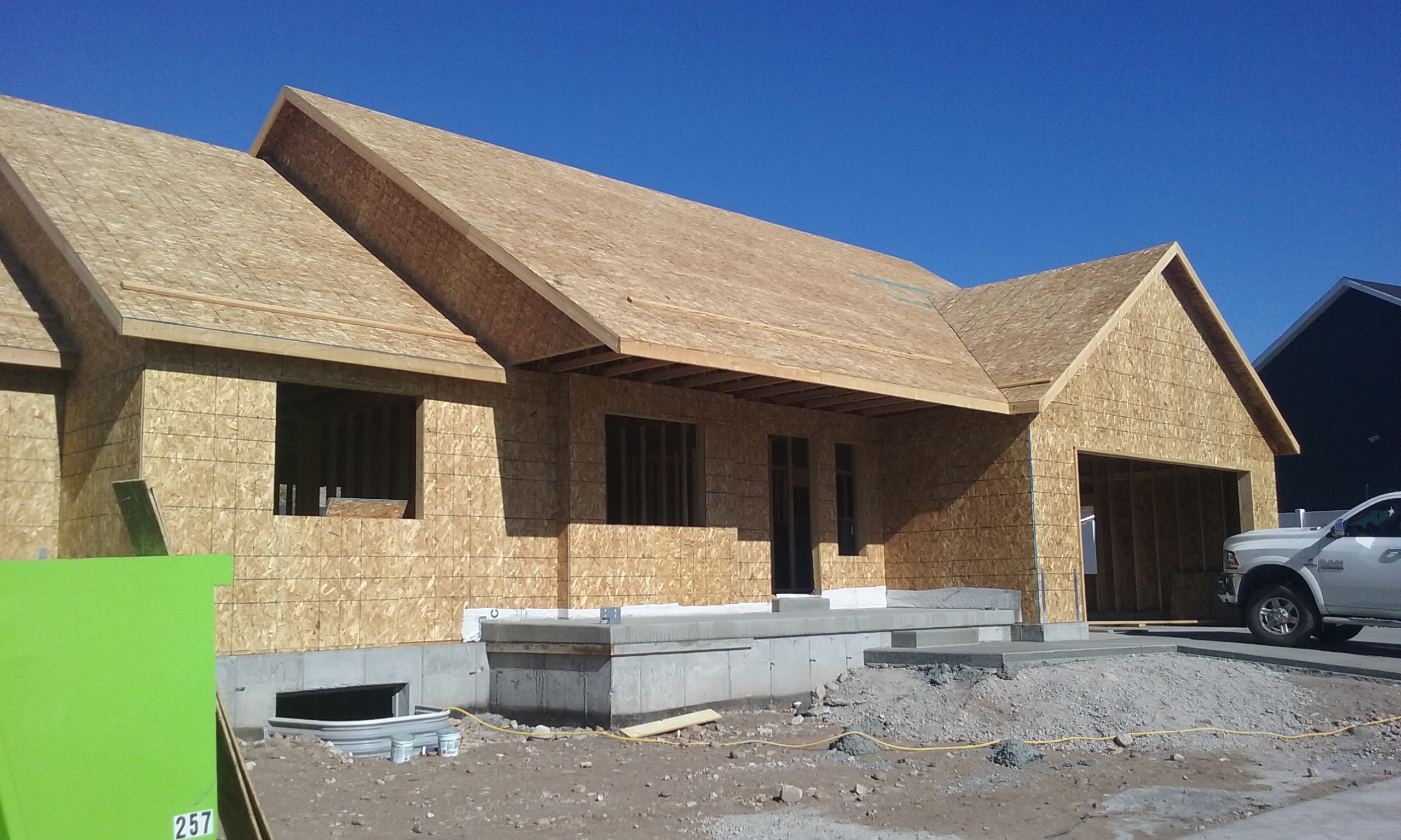
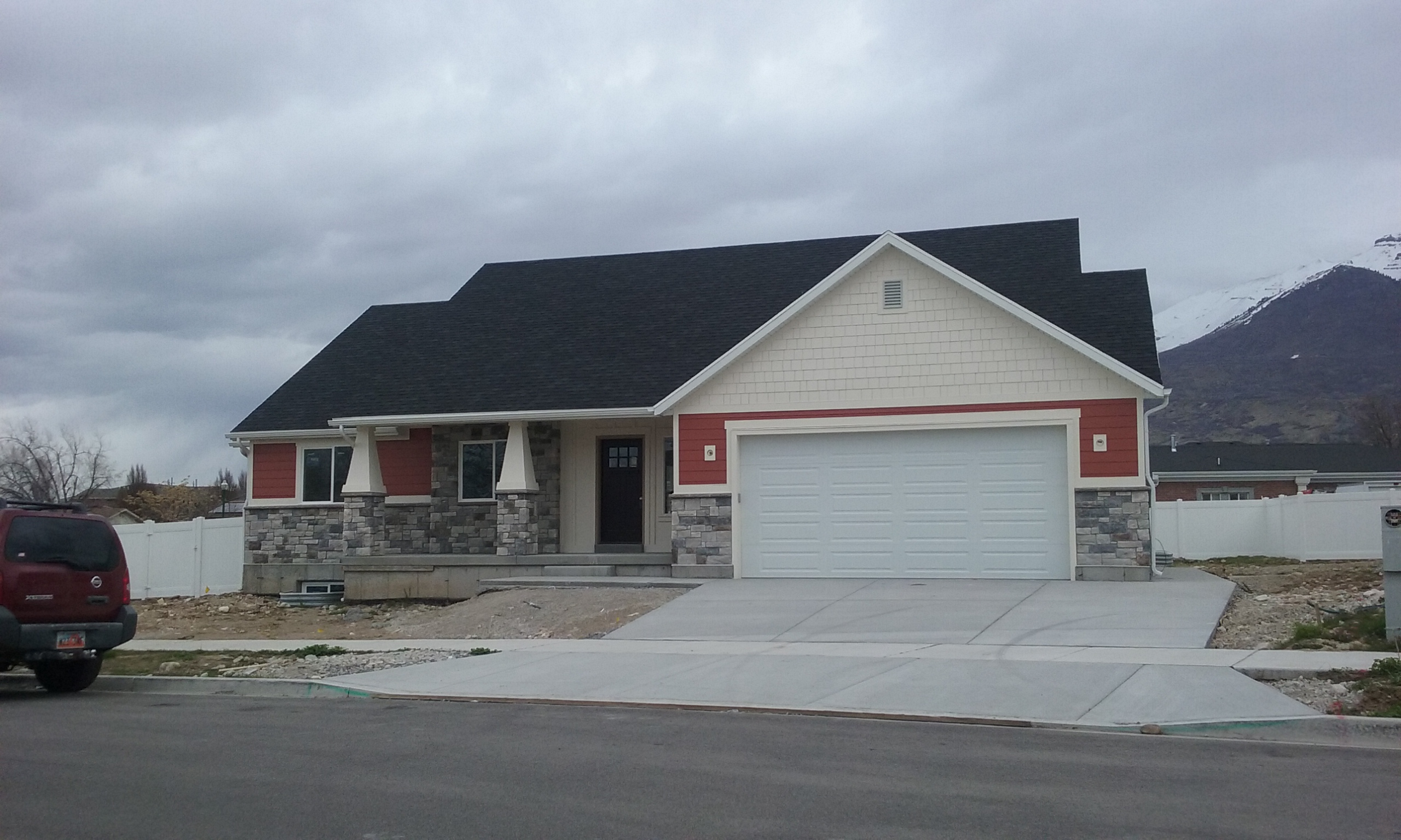
| Property Address: 311 E 700 NORTH - OREM |
|
| Mailing Address: 311 E 700 N OREM, UT 84057 |
|
| Acreage: 0.285693 |
|
| Last Document:
72804-2016
|
|
| Subdivision Map Filing |
|
| Taxing Description:
LOT 1, PLAT A, HEAVENS GATE ESTATES SUB AREA 0.286 AC.
*Taxing description NOT FOR LEGAL DOCUMENTS
|
|
- Owner Names
- Value History
- Tax History
- Location
- Photos
- Documents
- Aerial Image
| |
----- Real Estate Values ----- |
---Improvements--- |
---Greenbelt--- |
Total |
| Year |
Com |
Res |
Agr |
Tot |
Com |
Res |
Agr |
Tot |
Land |
Homesite |
Tot |
Market Value |
| 2024 |
$0 |
$227,000 |
$0 |
$227,000 |
$0 |
$398,400 |
$0 |
$398,400 |
$0 |
$0 |
$0 |
$625,400 |
| 2023 |
$0 |
$226,900 |
$0 |
$226,900 |
$0 |
$403,100 |
$0 |
$403,100 |
$0 |
$0 |
$0 |
$630,000 |
| 2022 |
$0 |
$241,900 |
$0 |
$241,900 |
$0 |
$375,200 |
$0 |
$375,200 |
$0 |
$0 |
$0 |
$617,100 |
| 2021 |
$0 |
$172,800 |
$0 |
$172,800 |
$0 |
$293,100 |
$0 |
$293,100 |
$0 |
$0 |
$0 |
$465,900 |
| 2020 |
$0 |
$150,300 |
$0 |
$150,300 |
$0 |
$175,200 |
$0 |
$175,200 |
$0 |
$0 |
$0 |
$325,500 |
| 2019 |
$0 |
$150,300 |
$0 |
$150,300 |
$0 |
$0 |
$0 |
$0 |
$0 |
$0 |
$0 |
$150,300 |
| 2018 |
$0 |
$150,300 |
$0 |
$150,300 |
$0 |
$0 |
$0 |
$0 |
$0 |
$0 |
$0 |
$150,300 |
| 2017 |
$0 |
$167,000 |
$0 |
$167,000 |
$0 |
$0 |
$0 |
$0 |
$0 |
$0 |
$0 |
$167,000 |
| Year |
General Taxes |
Adjustments |
Net Taxes |
Fees |
Payments |
Tax Balance* |
Balance Due |
Tax District |
| 2025 |
$0.00 |
$0.00 |
$0.00 |
$0.00 |
|
$0.00
|
$0.00 |
090 - OREM CITY |
| 2024 |
$0.00 |
$0.00 |
$0.00 |
$0.00 |
|
$0.00
|
$0.00 |
090 - OREM CITY |
| 2023 |
$2,636.52 |
$0.00 |
$2,636.52 |
$0.00 |
|
$0.00
|
$0.00 |
090 - OREM CITY |
| 2022 |
$2,665.69 |
$0.00 |
$2,665.69 |
$0.00 |
|
$0.00
|
$0.00 |
090 - OREM CITY |
| 2021 |
$2,415.88 |
$0.00 |
$2,415.88 |
$0.00 |
|
$0.00
|
$0.00 |
090 - OREM CITY |
| 2020 |
$1,717.39 |
$0.00 |
$1,717.39 |
$0.00 |
|
$0.00
|
$0.00 |
090 - OREM CITY |
| 2019 |
$1,386.52 |
$0.00 |
$1,386.52 |
$0.00 |
|
$0.00
|
$0.00 |
090 - OREM CITY |
| 2018 |
$1,451.15 |
$0.00 |
$1,451.15 |
$0.00 |
|
$0.00
|
$0.00 |
090 - OREM CITY |
| 2017 |
$1,655.47 |
$0.00 |
$1,655.47 |
$0.00 |
|
$0.00
|
$0.00 |
090 - OREM CITY |
* Note: Original tax amount (Does not include applicable interest and/or fees).
| Entry # |
Date |
Recorded |
Type |
Party1 (Grantor) |
Party2 (Grantee) |
| 27527-2023 |
04/27/2023 |
05/01/2023 |
TR D |
OLIVERSON, BRETT |
AMERICA FIRST FEDERAL CREDIT UNION |
| 18832-2023 |
03/16/2023 |
03/28/2023 |
AS |
TRUIST BANK |
SPECIALIZED LOAN SERVICING LLC |
| 11215-2023 |
02/24/2023 |
02/24/2023 |
REC |
FIRST AMERICAN TITLE INSURANCE COMPANY TEE |
KALAMA, KIMO (ET AL) |
| 11214-2023 |
02/24/2023 |
02/24/2023 |
SUB TEE |
SPECIALIZED LOAN SERVICING LLC |
FIRST AMERICAN TITLE INSURANCE COMPANY SUBTEE |
| 6051-2023 |
01/30/2023 |
01/31/2023 |
WD |
KALAMA, KIMO (ET AL) |
OLIVERSON, BRETT |
| 489-2023 |
12/29/2022 |
01/04/2023 |
AS |
MORTGAGE ELECTRONIC REGISTRATION SYSTEMS INC |
TRUIST BANK |
| 121205-2020 |
08/13/2020 |
08/14/2020 |
D TR |
KALAMA, KIMO (ET AL) |
PRIMARY RESIDENTIAL MORTGAE INC |
| 121135-2020 |
08/12/2020 |
08/14/2020 |
WD |
FOULK, RUSSELL A TEE (ET AL) |
KALAMA, KIMO (ET AL) |
| 97491-2016 |
10/03/2016 |
10/03/2016 |
AFF SUR |
ANDREASON, BARRY SURVR |
WHOM OF INTEREST |
| 72804-2016 |
08/01/2016 |
08/04/2016 |
S PLAT |
FOULK, RUSSELL A TEE (ET AL) |
HEAVENS GATE ESTATES PLAT A |
Main Menu Comments or Concerns on Value/Appraisal - Assessor's Office
Documents/Owner/Parcel information - Recorder's Office
Address Change for Tax Notice
This page was created on 8/4/2024 1:21:58 PM |