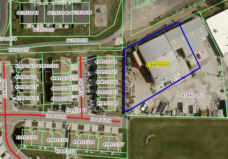
Property Information
mobile view
| Serial Number: 41:890:0001 |
Serial Life: 2019... |
|
|
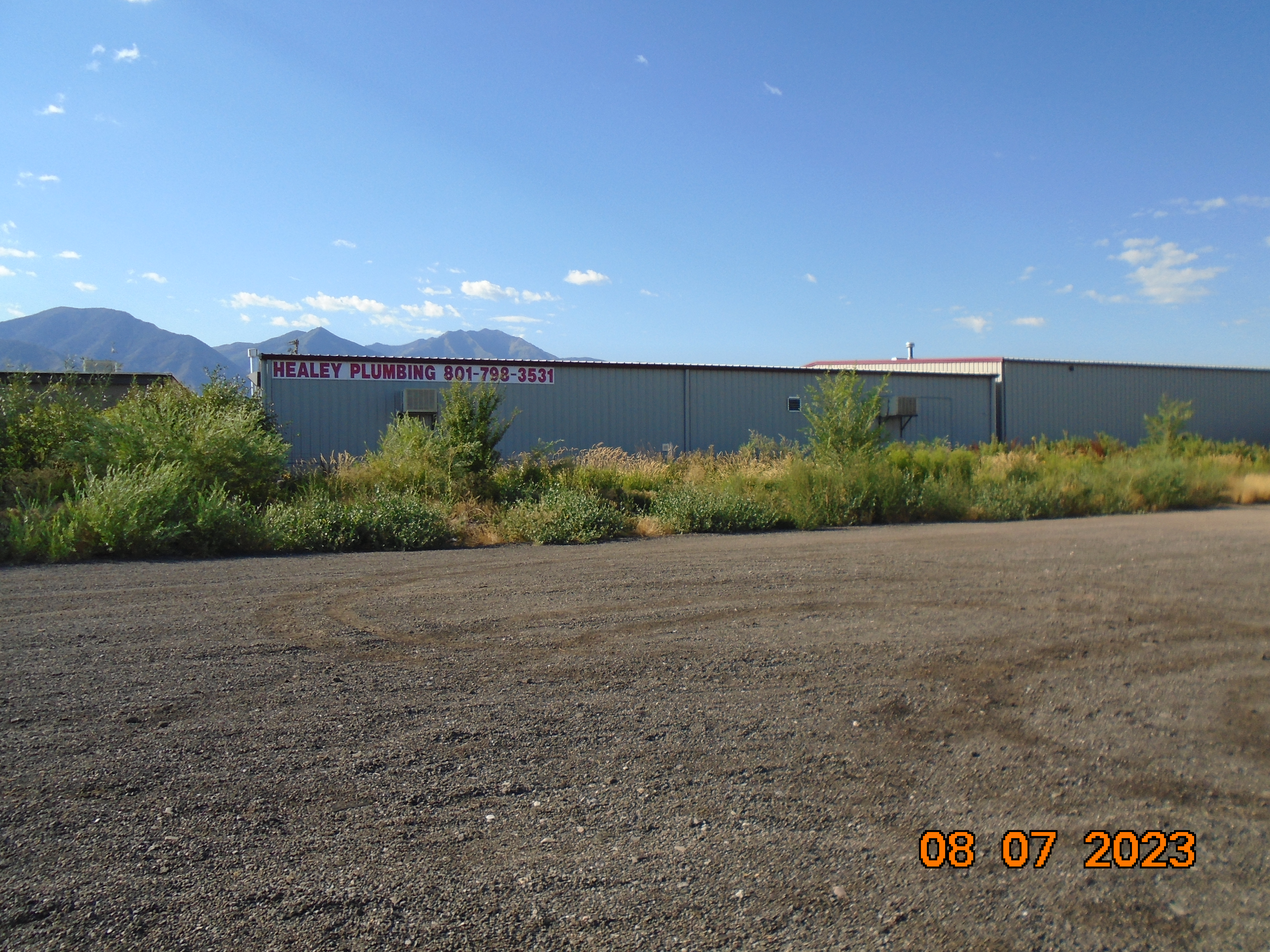
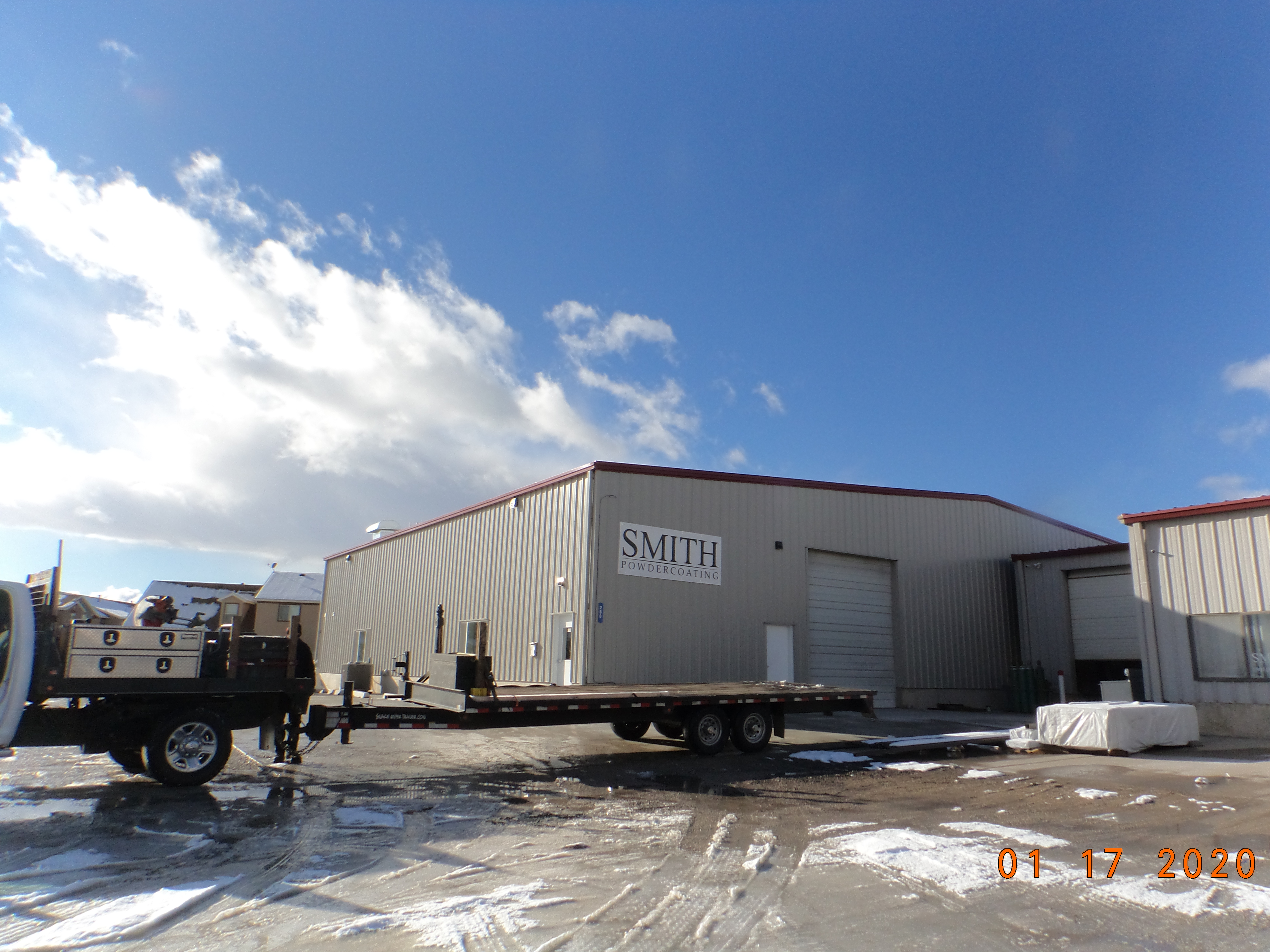
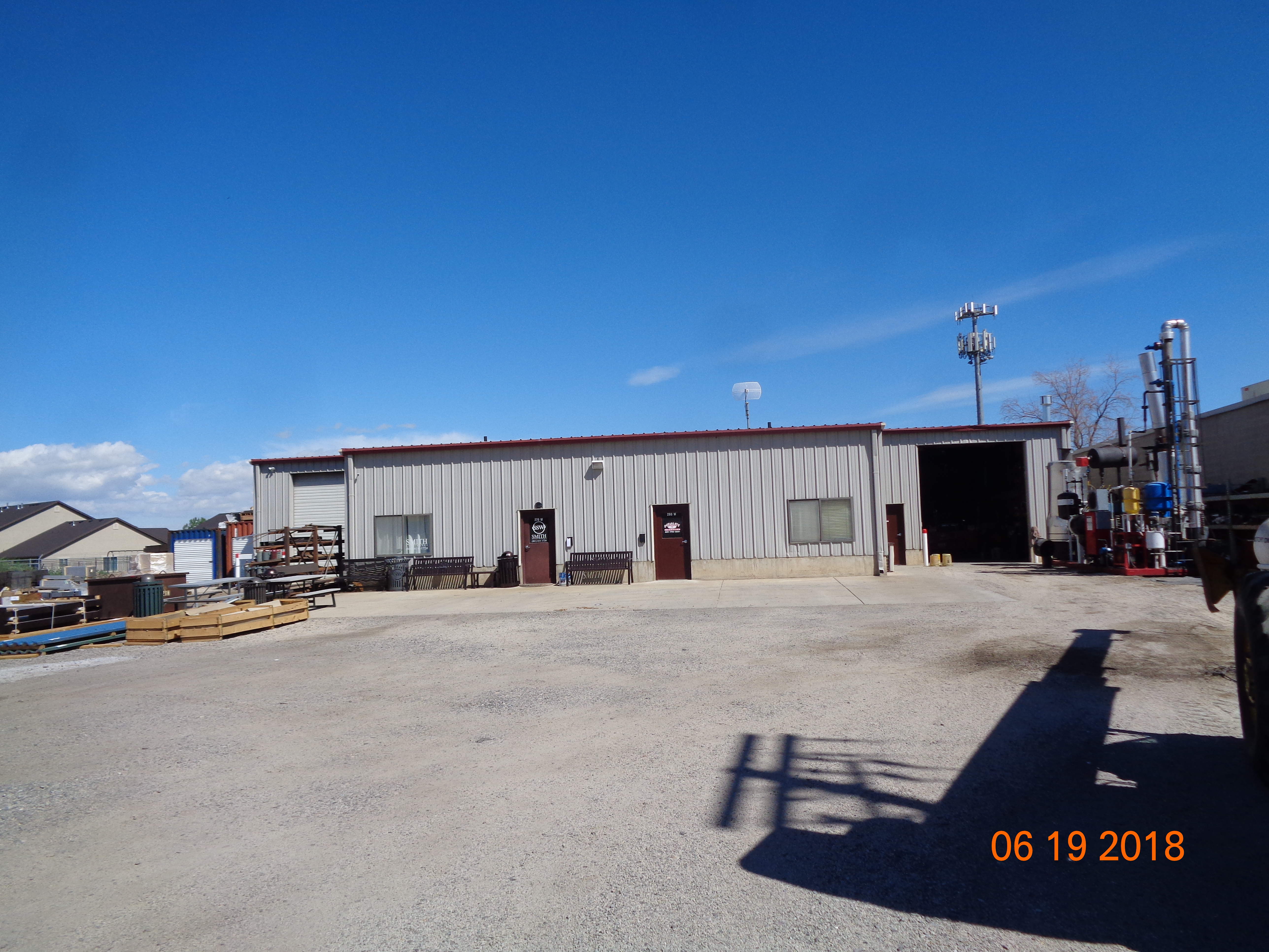
 Total Photos: 14
|
| |
|
|
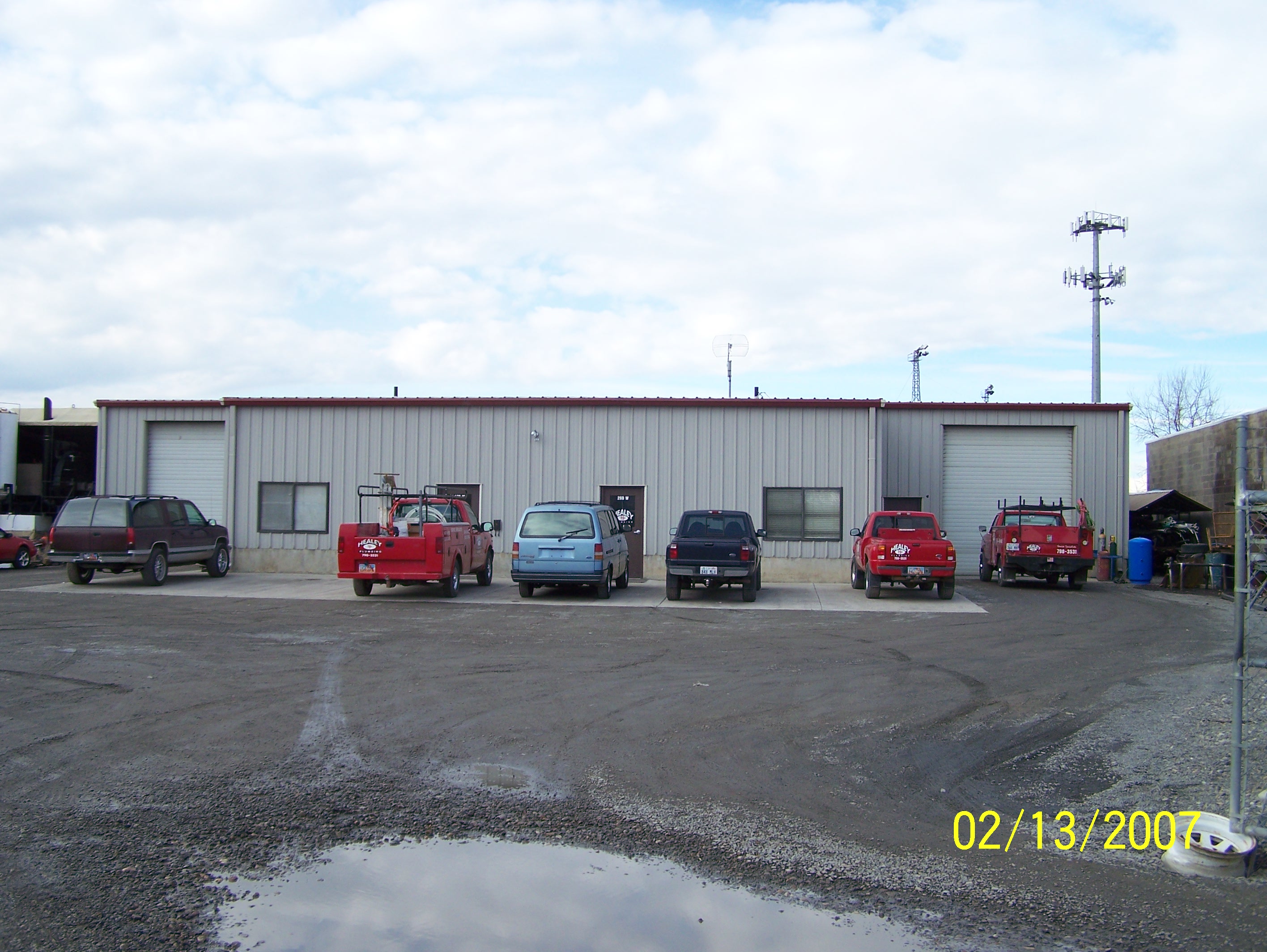
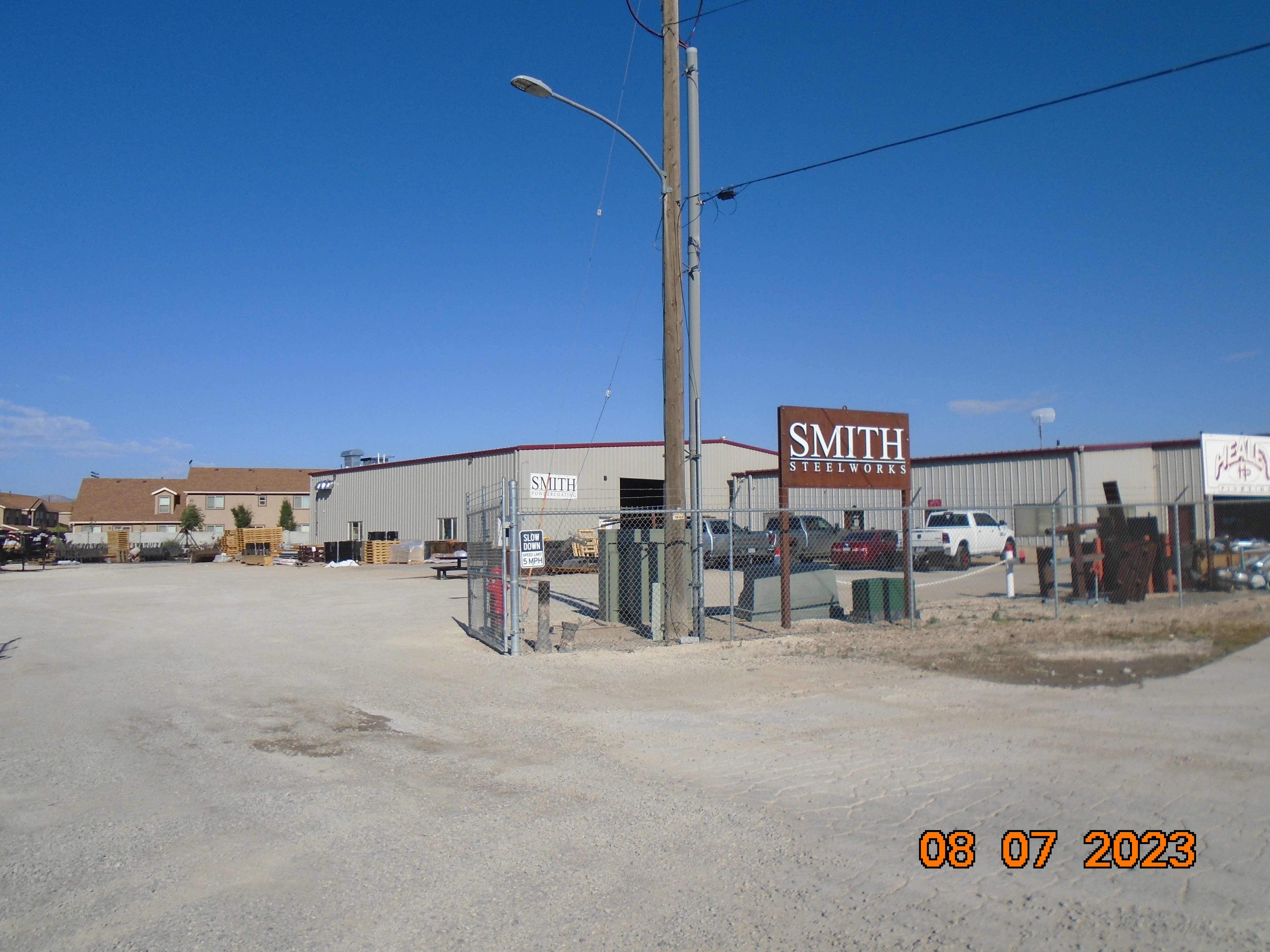
| Property Address: 270 W 500 SOUTH - SPANISH FORK |
|
| Mailing Address: %SMITH, RUSSEL H 8958 S 6000 W PAYSON, UT 84651-9770 |
|
| Acreage: 0.601115 |
|
| Last Document:
40639-2018
|
|
| Subdivision Map Filing |
|
| Taxing Description:
LOT 1, HEALEY SUB AREA 0.601 AC.
*Taxing description NOT FOR LEGAL DOCUMENTS
|
|
- Owner Names
- Value History
- Tax History
- Location
- Photos
- Documents
- Aerial Image
| |
----- Real Estate Values ----- |
---Improvements--- |
---Greenbelt--- |
Total |
| Year |
Com |
Res |
Agr |
Tot |
Com |
Res |
Agr |
Tot |
Land |
Homesite |
Tot |
Market Value |
| 2024 |
$214,200 |
$0 |
$0 |
$214,200 |
$855,700 |
$0 |
$0 |
$855,700 |
$0 |
$0 |
$0 |
$1,069,900 |
| 2023 |
$209,100 |
$0 |
$0 |
$209,100 |
$754,700 |
$0 |
$0 |
$754,700 |
$0 |
$0 |
$0 |
$963,800 |
| 2022 |
$209,100 |
$0 |
$0 |
$209,100 |
$708,200 |
$0 |
$0 |
$708,200 |
$0 |
$0 |
$0 |
$917,300 |
| 2021 |
$170,700 |
$0 |
$0 |
$170,700 |
$578,000 |
$0 |
$0 |
$578,000 |
$0 |
$0 |
$0 |
$748,700 |
| 2020 |
$132,800 |
$0 |
$0 |
$132,800 |
$587,100 |
$0 |
$0 |
$587,100 |
$0 |
$0 |
$0 |
$719,900 |
| 2019 |
$110,000 |
$0 |
$0 |
$110,000 |
$143,700 |
$0 |
$0 |
$143,700 |
$0 |
$0 |
$0 |
$253,700 |
| Year |
General Taxes |
Adjustments |
Net Taxes |
Fees |
Payments |
Tax Balance* |
Balance Due |
Tax District |
| 2025 |
$0.00 |
$0.00 |
$0.00 |
$0.00 |
|
$0.00
|
$0.00 |
150 - SPANISH FORK CITY |
| 2024 |
$10,380.17 |
$0.00 |
$10,380.17 |
$0.00 |
|
$0.00
|
$0.00 |
150 - SPANISH FORK CITY |
| 2023 |
$9,340.19 |
$0.00 |
$9,340.19 |
$0.00 |
|
$0.00
|
$0.00 |
150 - SPANISH FORK CITY |
| 2022 |
$9,063.84 |
$0.00 |
$9,063.84 |
$0.00 |
|
$0.00
|
$0.00 |
150 - SPANISH FORK CITY |
| 2021 |
$8,407.90 |
$0.00 |
$8,407.90 |
$0.00 |
|
$0.00
|
$0.00 |
150 - SPANISH FORK CITY |
| 2020 |
$8,315.56 |
$0.00 |
$8,315.56 |
$0.00 |
|
$0.00
|
$0.00 |
150 - SPANISH FORK CITY |
| 2019 |
$2,785.37 |
$0.00 |
$2,785.37 |
$0.00 |
|
$0.00
|
$0.00 |
150 - SPANISH FORK CITY |
* Note: Original tax amount (Does not include applicable interest and/or fees).
| Entry # |
Date |
Recorded |
Type |
Party1 (Grantor) |
Party2 (Grantee) |
| 191665-2021 |
11/10/2021 |
11/15/2021 |
REC |
PROVO LAND TITLE COMPANY TEE |
SMITH POTHIER PROPERTIES LLC |
| 47609-2018 |
05/22/2018 |
05/22/2018 |
REC |
BANK OF AMERICAN FORK TEE |
HEALEY, PAUL EUGENE & COLLEEN DUNN |
| 44616-2018 |
05/14/2018 |
05/14/2018 |
TR D |
SMITH POTHIER PROPERTIES LLC BY (ET AL) |
MAINSTAR TRUST CUSFOR (ET AL) |
| 44615-2018 |
05/14/2018 |
05/14/2018 |
WD |
HEALEY, PAUL EUGENE & COLLEEN DUNN TEE (ET AL) |
SMITH POTHIER PROPERTIES LLC |
| 40639-2018 |
03/12/2018 |
05/01/2018 |
S PLAT |
HEALEY, PAUL EUGENE & COLLEEN DUNN TEE (ET AL) |
HEALEY |
Main Menu Comments or Concerns on Value/Appraisal - Assessor's Office
Documents/Owner/Parcel information - Recorder's Office
Address Change for Tax Notice
This page was created on 3/3/2025 11:19:23 AM |