Property Information
mobile view
| Serial Number: 44:210:0003 |
Serial Life: 2015... |
|
|
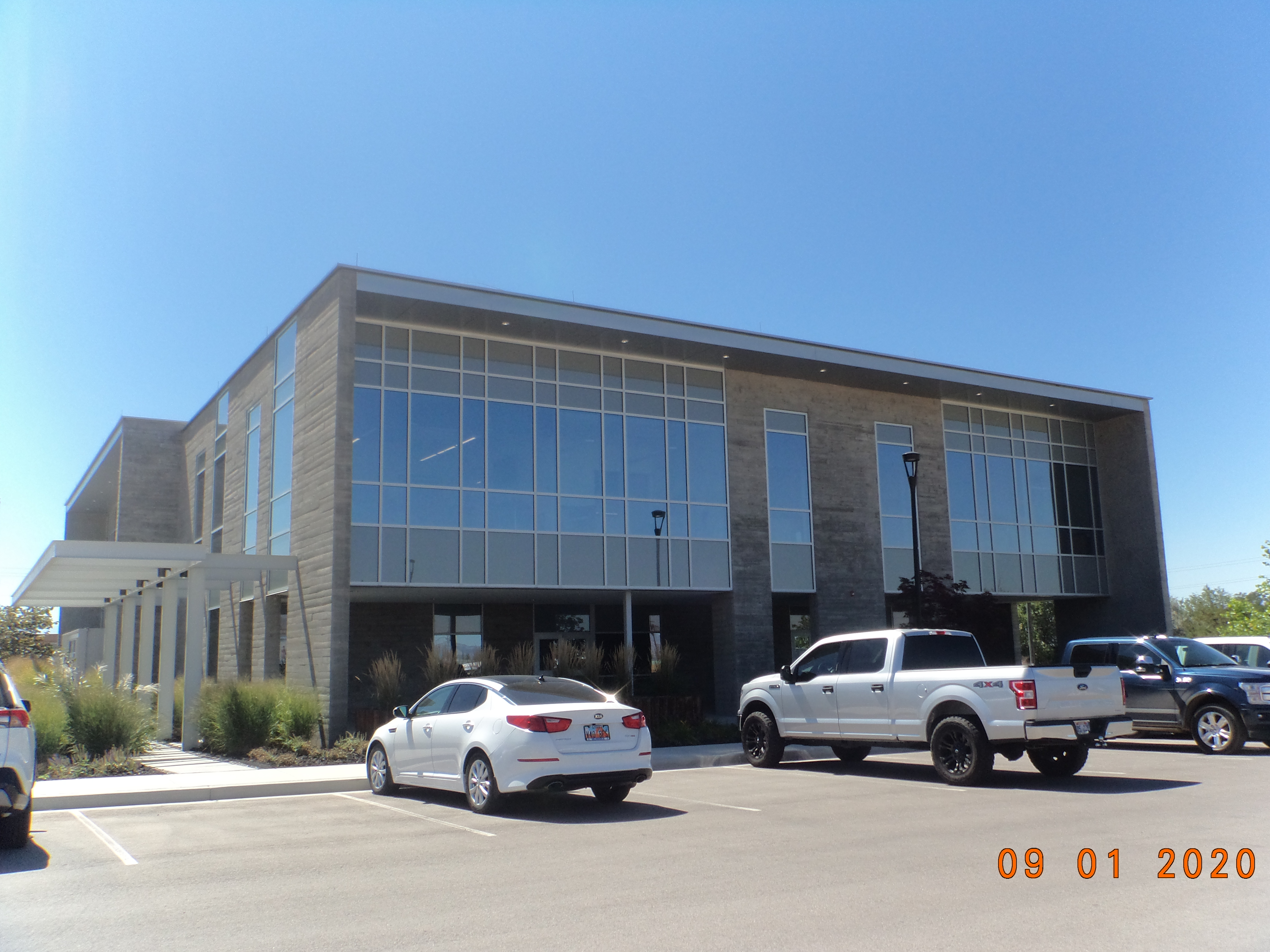 Total Photos: 4
|
| |
|
|
| Property Address: 869 N 1500 WEST - OREM |
|
| Mailing Address: 730 N 1500 W OREM, UT 84057-2826 |
|
| Acreage: 4.065123 |
|
| Last Document:
32160-2014
|
|
| Subdivision Map Filing |
|
| Taxing Description:
LOT 3, PLAT A, KINGS INDUSTRIAL PARK SUB AREA 4.065 AC.
*Taxing description NOT FOR LEGAL DOCUMENTS
|
|
- Owner Names
- Value History
- Tax History
- Location
- Photos
- Documents
- Aerial Image
| |
----- Real Estate Values ----- |
---Improvements--- |
---Greenbelt--- |
Total |
| Year |
Com |
Res |
Agr |
Tot |
Com |
Res |
Agr |
Tot |
Land |
Homesite |
Tot |
Market Value |
| 2024 |
$1,998,800 |
$0 |
$0 |
$1,998,800 |
$4,772,800 |
$0 |
$0 |
$4,772,800 |
$0 |
$0 |
$0 |
$6,771,600 |
| 2023 |
$1,812,800 |
$0 |
$0 |
$1,812,800 |
$4,416,100 |
$0 |
$0 |
$4,416,100 |
$0 |
$0 |
$0 |
$6,228,900 |
| 2022 |
$1,719,900 |
$0 |
$0 |
$1,719,900 |
$4,108,000 |
$0 |
$0 |
$4,108,000 |
$0 |
$0 |
$0 |
$5,827,900 |
| 2021 |
$1,021,600 |
$0 |
$0 |
$1,021,600 |
$4,050,800 |
$0 |
$0 |
$4,050,800 |
$0 |
$0 |
$0 |
$5,072,400 |
| 2020 |
$1,513,100 |
$0 |
$0 |
$1,513,100 |
$3,716,200 |
$0 |
$0 |
$3,716,200 |
$0 |
$0 |
$0 |
$5,229,300 |
| 2019 |
$1,051,800 |
$0 |
$0 |
$1,051,800 |
$3,716,200 |
$0 |
$0 |
$3,716,200 |
$0 |
$0 |
$0 |
$4,768,000 |
| 2018 |
$956,200 |
$0 |
$0 |
$956,200 |
$3,378,400 |
$0 |
$0 |
$3,378,400 |
$0 |
$0 |
$0 |
$4,334,600 |
| 2017 |
$911,900 |
$0 |
$0 |
$911,900 |
$3,378,400 |
$0 |
$0 |
$3,378,400 |
$0 |
$0 |
$0 |
$4,290,300 |
| 2016 |
$869,400 |
$0 |
$0 |
$869,400 |
$0 |
$0 |
$0 |
$0 |
$0 |
$0 |
$0 |
$869,400 |
| 2015 |
$841,100 |
$0 |
$0 |
$841,100 |
$0 |
$0 |
$0 |
$0 |
$0 |
$0 |
$0 |
$841,100 |
| Year |
General Taxes |
Adjustments |
Net Taxes |
Fees |
Payments |
Tax Balance* |
Balance Due |
Tax District |
| 2025 |
$0.00 |
$0.00 |
$0.00 |
$0.00 |
|
$0.00
|
$0.00 |
090 - OREM CITY |
| 2024 |
$55,378.14 |
$0.00 |
$55,378.14 |
$0.00 |
|
|
Click for Payoff
|
090 - OREM CITY |
| 2023 |
$47,395.70 |
$0.00 |
$47,395.70 |
$0.00 |
|
$0.00
|
$0.00 |
090 - OREM CITY |
| 2022 |
$45,772.33 |
$0.00 |
$45,772.33 |
$0.00 |
|
$0.00
|
$0.00 |
090 - OREM CITY |
| 2021 |
$47,822.59 |
$0.00 |
$47,822.59 |
$0.00 |
|
$0.00
|
$0.00 |
090 - OREM CITY |
| 2020 |
$50,164.67 |
$0.00 |
$50,164.67 |
$0.00 |
|
$0.00
|
$0.00 |
090 - OREM CITY |
| 2019 |
$43,984.80 |
$0.00 |
$43,984.80 |
$0.00 |
|
$0.00
|
$0.00 |
090 - OREM CITY |
| 2018 |
$41,850.56 |
$0.00 |
$41,850.56 |
$0.00 |
|
$0.00
|
$0.00 |
090 - OREM CITY |
| 2017 |
$42,529.74 |
$0.00 |
$42,529.74 |
$0.00 |
|
$0.00
|
$0.00 |
090 - OREM CITY |
| 2016 |
$9,346.05 |
$0.00 |
$9,346.05 |
$0.00 |
|
$0.00
|
$0.00 |
090 - OREM CITY |
| 2015 |
$9,560.78 |
$0.00 |
$9,560.78 |
$0.00 |
|
$0.00
|
$0.00 |
090 - OREM CITY |
* Note: Original tax amount (Does not include applicable interest and/or fees).
| Entry # |
Date |
Recorded |
Type |
Party1 (Grantor) |
Party2 (Grantee) |
| 22529-2021 |
02/04/2021 |
02/05/2021 |
REC |
WELLS FARGO BANK NORTHWEST TEE |
W W CLYDE & CO |
| 82584-2016 |
08/23/2016 |
08/26/2016 |
D TR |
W W CLYDE & CO |
WELLS FARGO BANK |
| 94347-2014 |
12/30/2014 |
12/31/2014 |
WD |
FIFTEEN FIFTY ASSOCIATES LLC BY (ET AL) |
W W CLYDE & CO |
| 36867-2014 |
04/11/2014 |
06/02/2014 |
EAS |
FIFTEEN FIFTY ASSOCIATES LLC |
WILLIAMSON INVESTMENTS LC |
| 32160-2014 |
05/08/2014 |
05/13/2014 |
S PLAT |
FIFTEEN FIFTY ASSOCIATES LLC BY (ET AL) |
KINGS INDUSTRIAL PARK PLAT A |
Main Menu Comments or Concerns on Value/Appraisal - Assessor's Office
Documents/Owner/Parcel information - Recorder's Office
Address Change for Tax Notice
This page was created on 10/11/2024 5:23:26 PM |


