Property Information
mobile view
| Serial Number: 46:902:0001 |
Serial Life: 2016... |
|
|
Total Photos: 2
|
| |
|
|
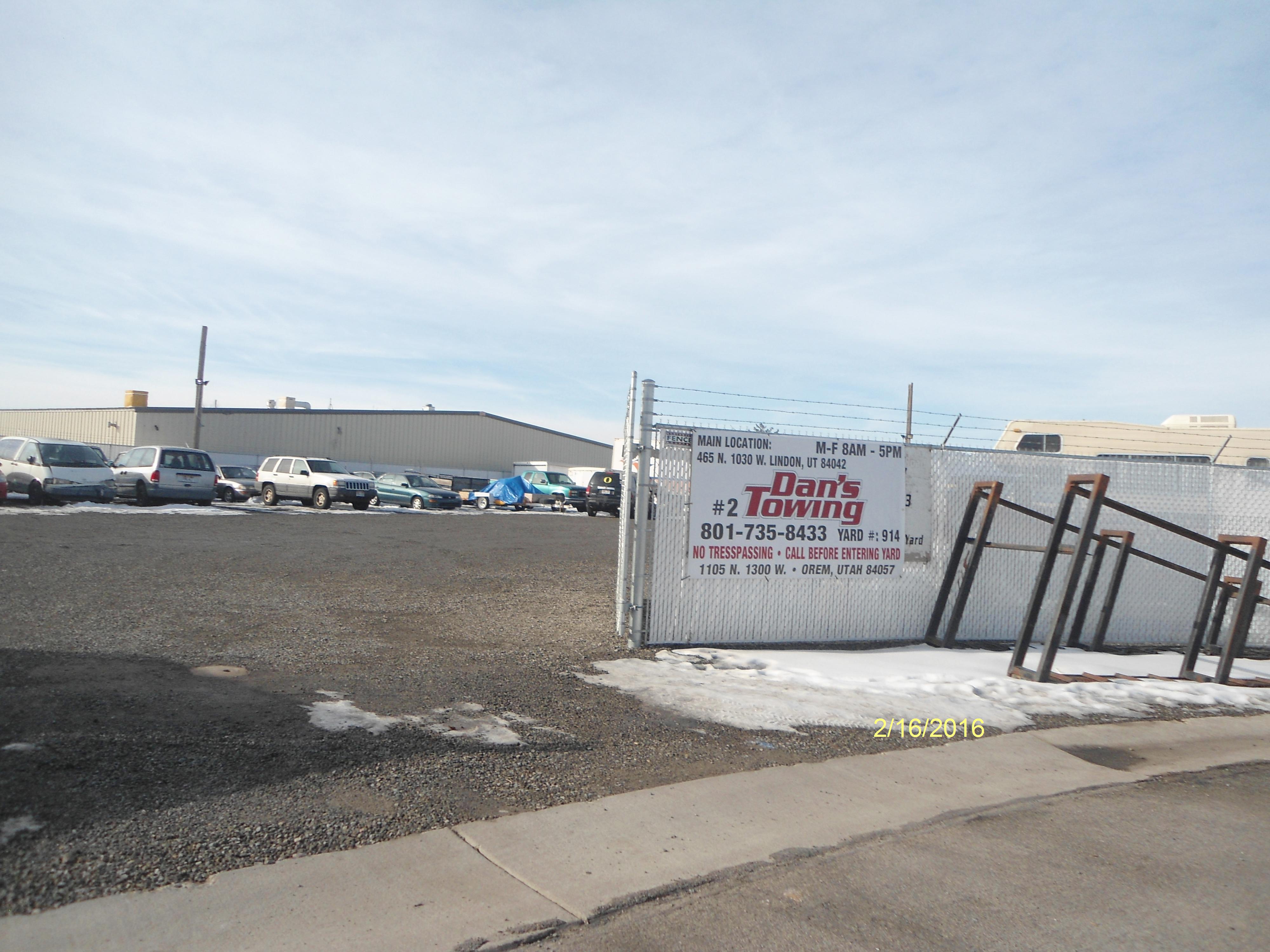
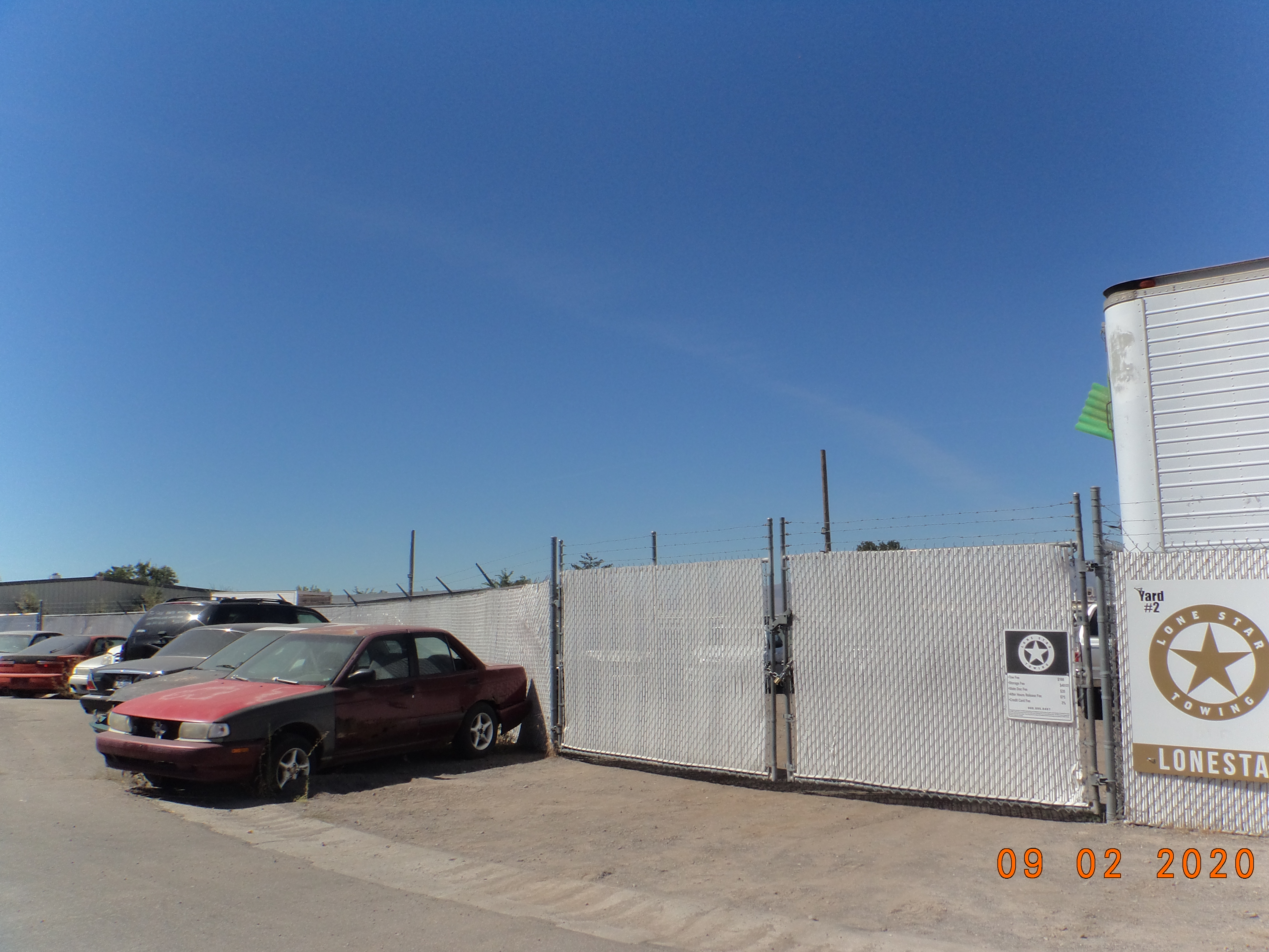
| Property Address: 1115 N 1300 WEST - OREM |
|
| Mailing Address: 77 N 920 E OREM, UT 84097-4974 |
|
| Acreage: 0.292754 |
|
| Last Document:
84462-2020
|
|
| Subdivision Map Filing |
|
| Taxing Description:
LOT 1, PLAT E, MEIKLEJOHN INDUSTRIAL PARK SUB AREA 0.293 AC.
*Taxing description NOT FOR LEGAL DOCUMENTS
|
|
- Owner Names
- Value History
- Tax History
- Location
- Photos
- Documents
- Aerial Image
| |
----- Real Estate Values ----- |
---Improvements--- |
---Greenbelt--- |
Total |
| Year |
Com |
Res |
Agr |
Tot |
Com |
Res |
Agr |
Tot |
Land |
Homesite |
Tot |
Market Value |
| 2024 |
$160,800 |
$0 |
$0 |
$160,800 |
$9,300 |
$0 |
$0 |
$9,300 |
$0 |
$0 |
$0 |
$170,100 |
| 2023 |
$145,900 |
$0 |
$0 |
$145,900 |
$9,200 |
$0 |
$0 |
$9,200 |
$0 |
$0 |
$0 |
$155,100 |
| 2022 |
$138,400 |
$0 |
$0 |
$138,400 |
$9,200 |
$0 |
$0 |
$9,200 |
$0 |
$0 |
$0 |
$147,600 |
| 2021 |
$121,700 |
$0 |
$0 |
$121,700 |
$11,300 |
$0 |
$0 |
$11,300 |
$0 |
$0 |
$0 |
$133,000 |
| 2020 |
$121,700 |
$0 |
$0 |
$121,700 |
$11,300 |
$0 |
$0 |
$11,300 |
$0 |
$0 |
$0 |
$133,000 |
| 2019 |
$75,200 |
$0 |
$0 |
$75,200 |
$11,600 |
$0 |
$0 |
$11,600 |
$0 |
$0 |
$0 |
$86,800 |
| 2018 |
$68,500 |
$0 |
$0 |
$68,500 |
$12,700 |
$0 |
$0 |
$12,700 |
$0 |
$0 |
$0 |
$81,200 |
| 2017 |
$65,300 |
$0 |
$0 |
$65,300 |
$12,700 |
$0 |
$0 |
$12,700 |
$0 |
$0 |
$0 |
$78,000 |
| 2016 |
$62,200 |
$0 |
$0 |
$62,200 |
$12,700 |
$0 |
$0 |
$12,700 |
$0 |
$0 |
$0 |
$74,900 |
| Year |
General Taxes |
Adjustments |
Net Taxes |
Fees |
Payments |
Tax Balance* |
Balance Due |
Tax District |
| 2025 |
$0.00 |
$0.00 |
$0.00 |
$0.00 |
|
$0.00
|
$0.00 |
090 - OREM CITY |
| 2024 |
$0.00 |
$0.00 |
$0.00 |
$0.00 |
|
$0.00
|
$0.00 |
090 - OREM CITY |
| 2023 |
$1,180.16 |
$0.00 |
$1,180.16 |
$0.00 |
|
$0.00
|
$0.00 |
090 - OREM CITY |
| 2022 |
$1,159.25 |
$0.00 |
$1,159.25 |
$0.00 |
|
$0.00
|
$0.00 |
090 - OREM CITY |
| 2021 |
$1,253.92 |
$0.00 |
$1,253.92 |
$0.00 |
|
$0.00
|
$0.00 |
090 - OREM CITY |
| 2020 |
$1,275.87 |
$0.00 |
$1,275.87 |
$0.00 |
|
$0.00
|
$0.00 |
090 - OREM CITY |
| 2019 |
$800.73 |
$0.00 |
$800.73 |
$0.00 |
|
$0.00
|
$0.00 |
090 - OREM CITY |
| 2018 |
$783.99 |
$0.00 |
$783.99 |
$0.00 |
|
$0.00
|
$0.00 |
090 - OREM CITY |
| 2017 |
$773.21 |
$0.00 |
$773.21 |
$0.00 |
|
$0.00
|
$0.00 |
090 - OREM CITY |
| 2016 |
$805.18 |
$0.00 |
$805.18 |
$0.00 |
|
$0.00
|
$0.00 |
090 - OREM CITY |
* Note: Original tax amount (Does not include applicable interest and/or fees).
| Entry # |
Date |
Recorded |
Type |
Party1 (Grantor) |
Party2 (Grantee) |
| 84462-2020 |
06/18/2020 |
06/18/2020 |
CORR AF |
REAL ADVANTAGE TITLE INSURANCE AGENCY (ET AL) |
WHOM OF INTEREST |
| 21567-2020 |
02/11/2020 |
02/20/2020 |
REC |
BANK OF UTAH TEE |
JONES, CRAIG R & SUSAN M |
| 14746-2020 |
01/30/2020 |
02/04/2020 |
WD |
JONES, SUSAN M |
CRJ BROTHERS INVESTMENT LC |
| 14745-2020 |
|
02/04/2020 |
AF DC |
JONES, CRAIG RICHARD & CRAIG R AKA |
WHOM OF INTEREST |
| 108180-2015 |
12/02/2015 |
12/02/2015 |
REC |
DESERET FIRST FEDERAL CREDIT UNION TEE |
JONES, CRAIG R & SUSAN M |
| 41868-2015 |
05/12/2015 |
05/15/2015 |
AF |
CITY OF OREM |
WHOM OF INTEREST |
| 23143-2015 |
03/19/2015 |
03/23/2015 |
D TR |
JONES, CRAIG R & SUSAN M |
AMERICAN BANK OF COMMERCE |
| 16789-2015 |
02/18/2015 |
03/03/2015 |
S PLAT |
JONES, CRAIG R & SUSAN M |
MEIKLEJOHN INDUSTRIAL PARK PLAT E |
Main Menu Comments or Concerns on Value/Appraisal - Assessor's Office
Documents/Owner/Parcel information - Recorder's Office
Address Change for Tax Notice
This page was created on 7/10/2024 4:24:51 PM |