Property Information
mobile view
| Serial Number: 48:399:0010 |
Serial Life: 2012... |
|
|
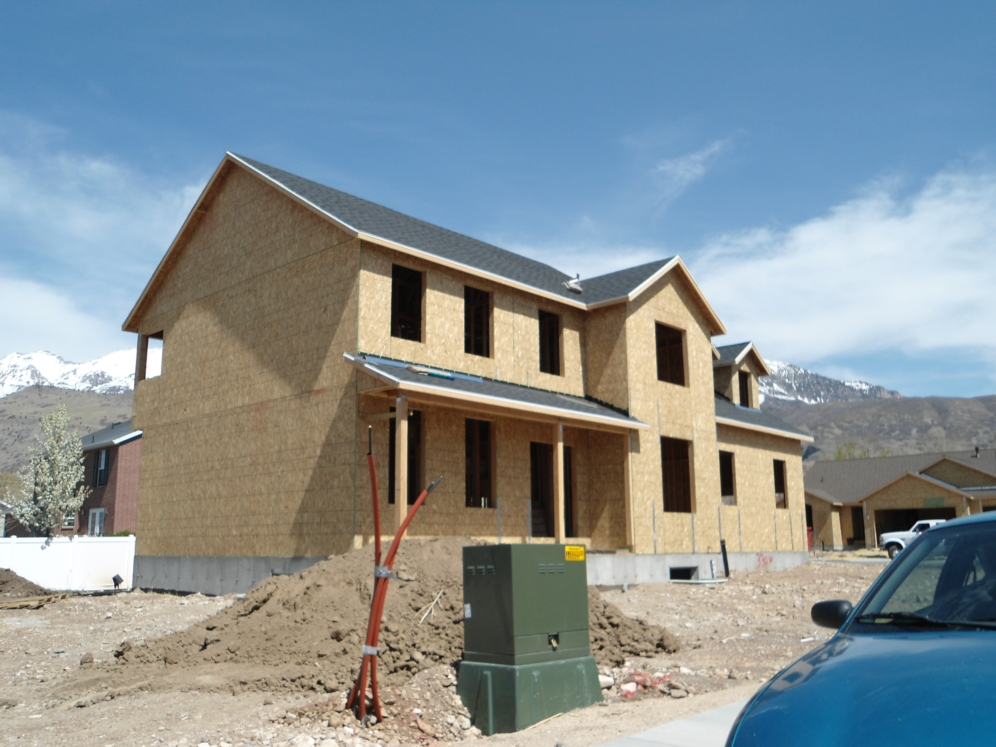
Total Photos: 1
|
| |
|
|
| Property Address: 330 W 1945 NORTH - OREM |
|
| Mailing Address: 330 W 1945 N OREM, UT 84057 |
|
| Acreage: 0.199832 |
|
| Last Document:
83721-2012
|
|
| Subdivision Map Filing |
|
| Taxing Description:
LOT 10, PLAT B, OSTERGAARD ESTATES SUB AREA 0.200 AC.
*Taxing description NOT FOR LEGAL DOCUMENTS
|
|
- Owner Names
- Value History
- Tax History
- Location
- Photos
- Documents
- Aerial Image
| |
----- Real Estate Values ----- |
---Improvements--- |
---Greenbelt--- |
Total |
| Year |
Com |
Res |
Agr |
Tot |
Com |
Res |
Agr |
Tot |
Land |
Homesite |
Tot |
Market Value |
| 2024 |
$0 |
$238,400 |
$0 |
$238,400 |
$0 |
$400,300 |
$0 |
$400,300 |
$0 |
$0 |
$0 |
$638,700 |
| 2023 |
$0 |
$238,400 |
$0 |
$238,400 |
$0 |
$410,600 |
$0 |
$410,600 |
$0 |
$0 |
$0 |
$649,000 |
| 2022 |
$0 |
$254,200 |
$0 |
$254,200 |
$0 |
$475,100 |
$0 |
$475,100 |
$0 |
$0 |
$0 |
$729,300 |
| 2021 |
$0 |
$181,600 |
$0 |
$181,600 |
$0 |
$371,200 |
$0 |
$371,200 |
$0 |
$0 |
$0 |
$552,800 |
| 2020 |
$0 |
$157,900 |
$0 |
$157,900 |
$0 |
$353,500 |
$0 |
$353,500 |
$0 |
$0 |
$0 |
$511,400 |
| 2019 |
$0 |
$157,900 |
$0 |
$157,900 |
$0 |
$315,500 |
$0 |
$315,500 |
$0 |
$0 |
$0 |
$473,400 |
| 2018 |
$0 |
$157,900 |
$0 |
$157,900 |
$0 |
$315,500 |
$0 |
$315,500 |
$0 |
$0 |
$0 |
$473,400 |
| 2017 |
$0 |
$157,900 |
$0 |
$157,900 |
$0 |
$302,800 |
$0 |
$302,800 |
$0 |
$0 |
$0 |
$460,700 |
| 2016 |
$0 |
$140,300 |
$0 |
$140,300 |
$0 |
$267,100 |
$0 |
$267,100 |
$0 |
$0 |
$0 |
$407,400 |
| 2015 |
$0 |
$140,300 |
$0 |
$140,300 |
$0 |
$241,000 |
$0 |
$241,000 |
$0 |
$0 |
$0 |
$381,300 |
| 2014 |
$0 |
$133,300 |
$0 |
$133,300 |
$0 |
$241,000 |
$0 |
$241,000 |
$0 |
$0 |
$0 |
$374,300 |
| 2013 |
$0 |
$95,600 |
$0 |
$95,600 |
$0 |
$226,300 |
$0 |
$226,300 |
$0 |
$0 |
$0 |
$321,900 |
| 2012 |
$0 |
$65,700 |
$0 |
$65,700 |
$0 |
$0 |
$0 |
$0 |
$0 |
$0 |
$0 |
$65,700 |
| Year |
General Taxes |
Adjustments |
Net Taxes |
Fees |
Payments |
Tax Balance* |
Balance Due |
Tax District |
| 2025 |
$0.00 |
$0.00 |
$0.00 |
$0.00 |
|
$0.00
|
$0.00 |
090 - OREM CITY |
| 2024 |
$0.00 |
$0.00 |
$0.00 |
$0.00 |
|
$0.00
|
$0.00 |
090 - OREM CITY |
| 2023 |
$2,716.03 |
$0.00 |
$2,716.03 |
$0.00 |
|
$0.00
|
$0.00 |
090 - OREM CITY |
| 2022 |
$3,150.36 |
$0.00 |
$3,150.36 |
$0.00 |
|
$0.00
|
$0.00 |
090 - OREM CITY |
| 2021 |
$2,866.49 |
$0.00 |
$2,866.49 |
$0.00 |
|
$0.00
|
$0.00 |
090 - OREM CITY |
| 2020 |
$2,698.22 |
$0.00 |
$2,698.22 |
$0.00 |
|
$0.00
|
$0.00 |
090 - OREM CITY |
| 2019 |
$2,401.91 |
$0.00 |
$2,401.91 |
$0.00 |
|
$0.00
|
$0.00 |
090 - OREM CITY |
| 2018 |
$2,513.87 |
$0.00 |
$2,513.87 |
$0.00 |
|
$0.00
|
$0.00 |
090 - OREM CITY |
| 2017 |
$2,511.81 |
$0.00 |
$2,511.81 |
$0.00 |
|
$0.00
|
$0.00 |
090 - OREM CITY |
| 2016 |
$2,408.75 |
$0.00 |
$2,408.75 |
$0.00 |
|
$0.00
|
$0.00 |
090 - OREM CITY |
| 2015 |
$2,383.83 |
$0.00 |
$2,383.83 |
$0.00 |
|
$0.00
|
$0.00 |
090 - OREM CITY |
| 2014 |
$2,350.77 |
$0.00 |
$2,350.77 |
$0.00 |
|
$0.00
|
$0.00 |
090 - OREM CITY |
| 2013 |
$2,180.13 |
$0.00 |
$2,180.13 |
$0.00 |
|
$0.00
|
$0.00 |
090 - OREM CITY |
| 2012 |
$825.72 |
$0.00 |
$825.72 |
$0.00 |
|
$0.00
|
$0.00 |
090 - OREM CITY |
* Note: Original tax amount (Does not include applicable interest and/or fees).
| Entry # |
Date |
Recorded |
Type |
Party1 (Grantor) |
Party2 (Grantee) |
| 209251-2020 |
12/29/2020 |
12/30/2020 |
RSUBTEE |
MORTGAGE ELECTRONIC REGISTRATION SYSTEMS INC (ET AL) |
PETERSON, MELISSA |
| 194419-2020 |
12/02/2020 |
12/07/2020 |
D TR |
SEOW, JOSHUA Y & MELISSA |
FIRST COLONY MORTGAGE CORPORATION |
| 194418-2020 |
12/02/2020 |
12/07/2020 |
SP WD |
PETERSON, MELISSA NKA (ET AL) |
SEOW, JOSHUA Y & MELISSA |
| 83722-2012 |
09/26/2012 |
09/28/2012 |
D TR |
PETERSON, MELISSA |
SECURITY HOME MORTGAGE LLC |
| 83721-2012 |
09/26/2012 |
09/28/2012 |
WD |
PATTERSON CONSTRUCTION INC |
PETERSON, MELISSA |
| 46487-2012 |
05/31/2011 |
06/05/2012 |
R LP |
PATTERSON CONSTRUCTION DBA (ET AL) |
BLACK, TIMOTHY J & GAIL O |
| 7259-2012 |
01/16/2012 |
01/30/2012 |
DECLCOV |
PATTERSON CONSTRUCTION INC (ET AL) |
WHOM OF INTEREST |
| 88909-2011 |
07/29/2011 |
12/12/2011 |
SP WD |
SUNSET MOUNTAIN PROPERTIES LIMITED PARTNERSHIP BY (ET AL) |
PATTERSON CONSTRUCTION INC |
| 53798-2011 |
07/18/2011 |
07/29/2011 |
S PLAT |
SUNSET MOUNTAIN PROPERTIES LP BY (ET AL) |
OSTERGAARD ESTATES PLAT B |
Main Menu Comments or Concerns on Value/Appraisal - Assessor's Office
Documents/Owner/Parcel information - Recorder's Office
Address Change for Tax Notice
This page was created on 7/11/2024 6:25:20 AM |