UtahCounty.Gov - The Official Website of Utah County Government

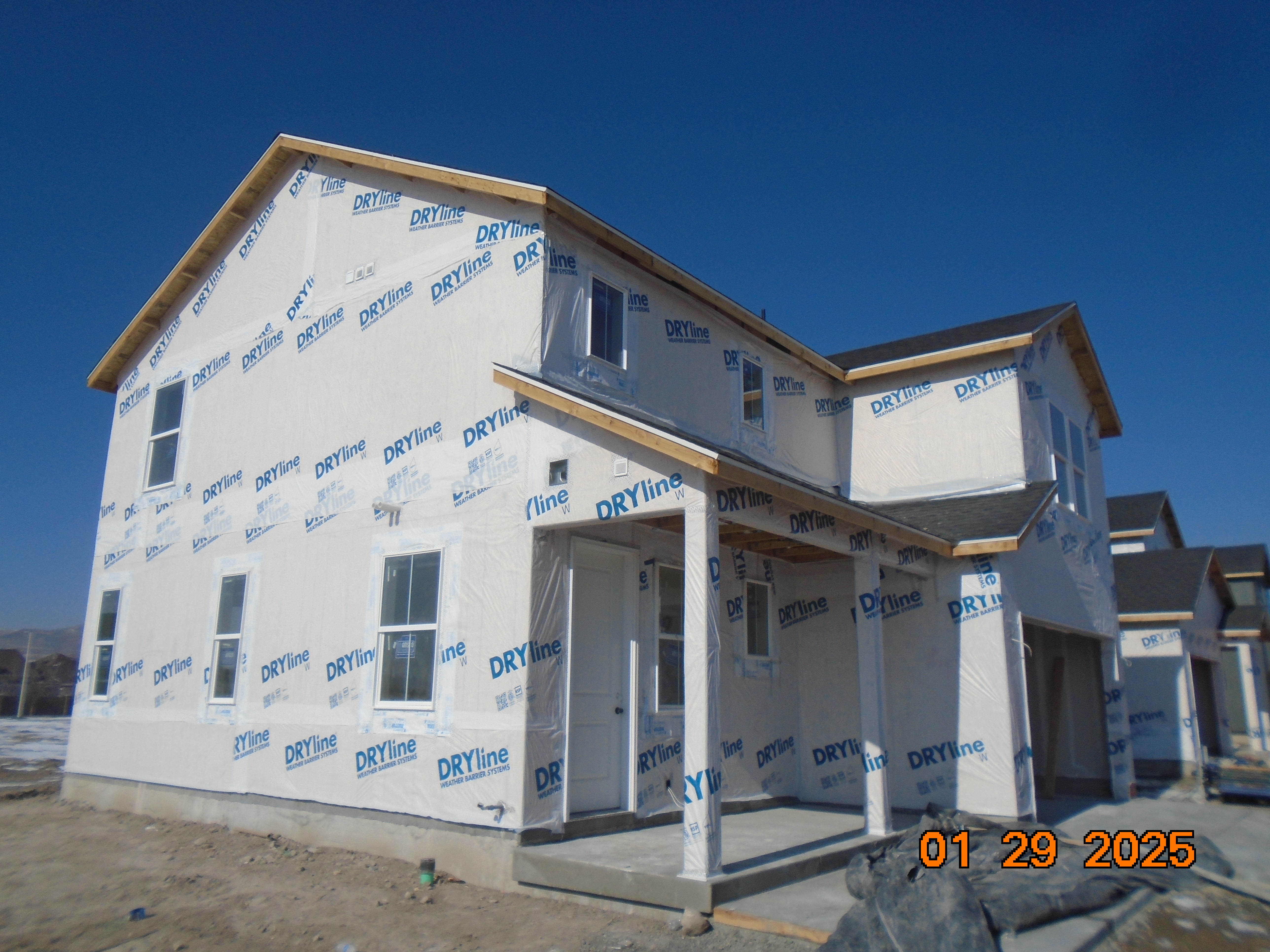
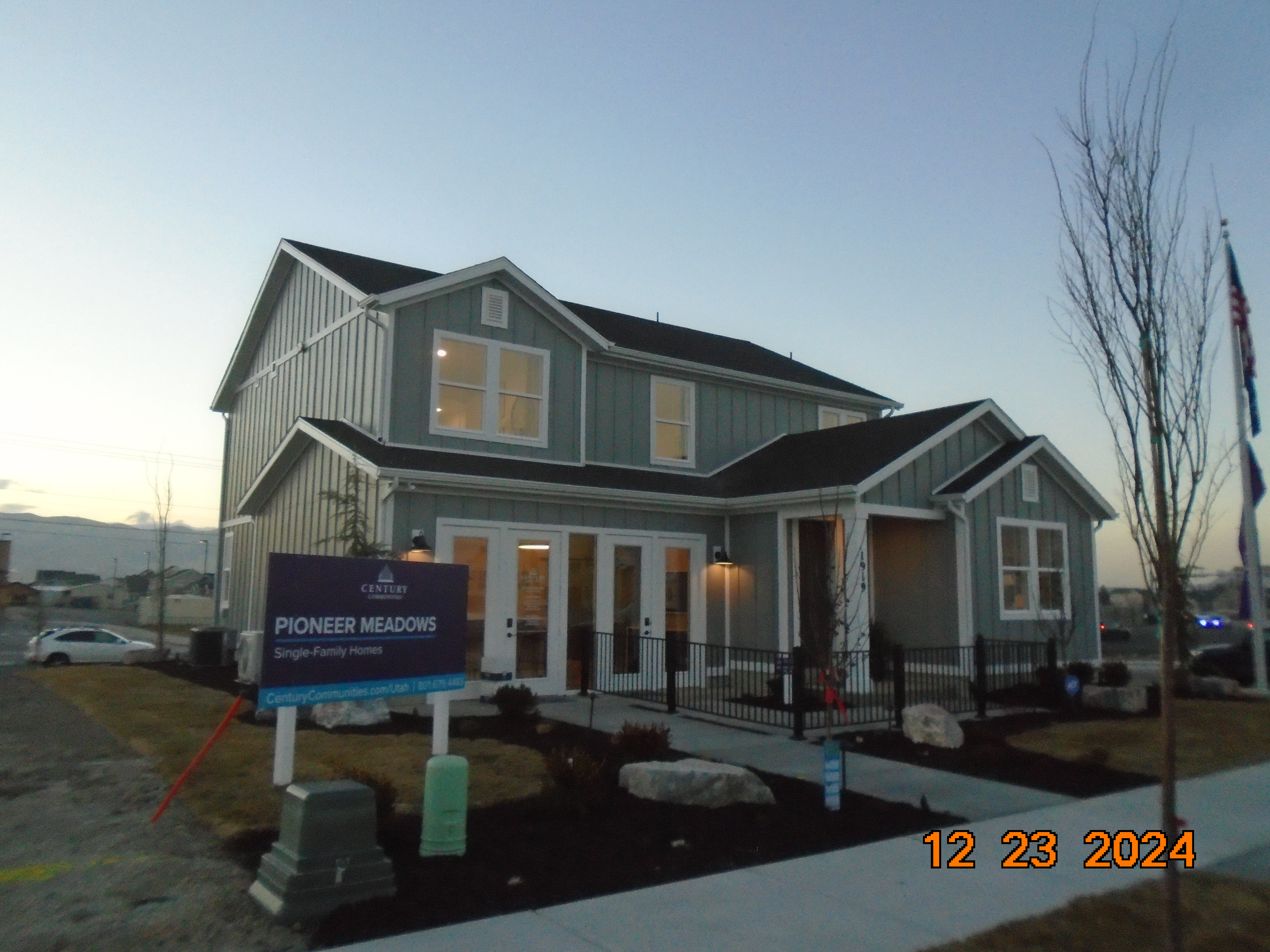
Property Information

mobile view

Serial Number: 53:684:0063 Serial Life: 2025...    
Parcel Photo
Total Photos: 2
     
Property Address:  1941 N 2250 WEST - LEHI  
Mailing Address: 10644 S JORDAN GTWY STE 300 SOUTH JORDAN, UT 84095  
Acreage: 0.135715  
Last Document: 61319-2024  
Subdivision Map Filing   
Taxing Description:  LOT 63, 2100 NORTH PUD SUB AREA 0.136 AC.

*Taxing description NOT FOR LEGAL DOCUMENTS


  • Owner Names
  • Value History
  • Tax History
  • Location
  • Photos
  • Documents
  • Aerial Image
 
----- Real Estate Values -----
---Improvements---
---Greenbelt---
Total
Year
Com
Res
Agr
Tot
Com
Res
Agr
Tot
Land
Homesite
Tot
    Market Value
Year
General Taxes
Adjustments
Net Taxes
Fees
Payments
Tax Balance*
Balance Due
Tax District
2025
$0.00
$0.00
$0.00
$0.00
$0.00
$0.00     010 - LEHI CITY

* Note: Original tax amount (Does not include applicable interest and/or fees).
Parcel Photo
Parcel Photo
Entry # Date Recorded Type Party1 (Grantor) Party2 (Grantee)
89002-2024 11/22/2024 12/17/2024 COVLAND PIONEER MEADOWS COMMUNITY ASSOCIATION WHOM OF INTEREST
82241-2024 11/21/2024 11/21/2024 DECLCOV CENTURY LAND HOLDINGS OF UTAH LLC WHOM OF INTEREST
61319-2024 08/22/2024 09/09/2024 S PLAT CENTURY LAND HOLDINGS OF UTAH LLC (ET AL) TWENTY ONE HUNDRED (2100) NORTH PUD


Main Menu

Comments or Concerns on Value/Appraisal - Assessor's Office
Documents/Owner/Parcel information - Recorder's Office
Address Change for Tax Notice

This page was created on 2/25/2025 2:06:49 PM

× Large Image