Property Information
mobile view
| Serial Number: 55:798:0026 |
Serial Life: 2016-2023 |
|
|
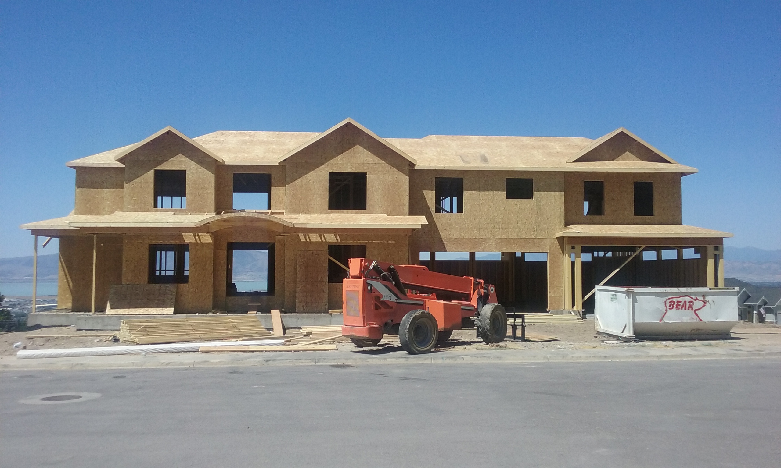
Total Photos: 1
|
| |
|
|
| Property Address: 489 N 1380 EAST - PLEASANT GROVE |
|
| Mailing Address: 489 N 1380 E PLEASANT GROVE, UT 84062 |
|
| Acreage: 0.276778 |
|
| Last Document:
5036-2015
|
|
| Subdivision Map Filing |
|
| Taxing Description:
LOT 26, PLAT B, WALKER RIDGE SUB AREA 0.277 AC.
*Taxing description NOT FOR LEGAL DOCUMENTS
|
|
- Owner Names
- Value History
- Tax History
- Location
- Photos
- Documents
- Aerial Image
| |
----- Real Estate Values ----- |
---Improvements--- |
---Greenbelt--- |
Total |
| Year |
Com |
Res |
Agr |
Tot |
Com |
Res |
Agr |
Tot |
Land |
Homesite |
Tot |
Market Value |
| 2023 |
$0 |
$237,800 |
$0 |
$237,800 |
$0 |
$695,500 |
$0 |
$695,500 |
$0 |
$0 |
$0 |
$933,300 |
| 2022 |
$0 |
$250,100 |
$0 |
$250,100 |
$0 |
$601,400 |
$0 |
$601,400 |
$0 |
$0 |
$0 |
$851,500 |
| 2021 |
$0 |
$156,300 |
$0 |
$156,300 |
$0 |
$531,700 |
$0 |
$531,700 |
$0 |
$0 |
$0 |
$688,000 |
| 2020 |
$0 |
$144,700 |
$0 |
$144,700 |
$0 |
$0 |
$0 |
$0 |
$0 |
$0 |
$0 |
$144,700 |
| 2019 |
$0 |
$101,800 |
$0 |
$101,800 |
$0 |
$0 |
$0 |
$0 |
$0 |
$0 |
$0 |
$101,800 |
| 2018 |
$0 |
$92,000 |
$0 |
$92,000 |
$0 |
$0 |
$0 |
$0 |
$0 |
$0 |
$0 |
$92,000 |
| 2017 |
$0 |
$131,900 |
$0 |
$131,900 |
$0 |
$0 |
$0 |
$0 |
$0 |
$0 |
$0 |
$131,900 |
| 2016 |
$0 |
$124,400 |
$0 |
$124,400 |
$0 |
$0 |
$0 |
$0 |
$0 |
$0 |
$0 |
$124,400 |
| Year |
General Taxes |
Adjustments |
Net Taxes |
Fees |
Payments |
Tax Balance* |
Balance Due |
Tax District |
| 2023 |
$4,201.48 |
($97.53) |
$4,103.95 |
$0.00 |
|
$0.00
|
$0.00 |
070 - PLEASANT GROVE CITY |
| 2022 |
$3,852.44 |
$0.00 |
$3,852.44 |
$0.00 |
|
$0.00
|
$0.00 |
070 - PLEASANT GROVE CITY |
| 2021 |
$3,717.02 |
$0.00 |
$3,717.02 |
$0.00 |
|
$0.00
|
$0.00 |
070 - PLEASANT GROVE CITY |
| 2020 |
$1,449.89 |
$0.00 |
$1,449.89 |
$0.00 |
|
$0.00
|
$0.00 |
070 - PLEASANT GROVE CITY |
| 2019 |
$986.34 |
$0.00 |
$986.34 |
$0.00 |
|
$0.00
|
$0.00 |
070 - PLEASANT GROVE CITY |
| 2018 |
$1,698.95 |
($756.23) |
$942.72 |
$0.00 |
|
$0.00
|
$0.00 |
070 - PLEASANT GROVE CITY |
| 2017 |
$1,396.29 |
$0.00 |
$1,396.29 |
$0.00 |
|
$0.00
|
$0.00 |
070 - PLEASANT GROVE CITY |
| 2016 |
$1,364.05 |
$0.00 |
$1,364.05 |
$0.00 |
|
$0.00
|
$0.00 |
070 - PLEASANT GROVE CITY |
* Note: Original tax amount (Does not include applicable interest and/or fees).
| Entry # |
Date |
Recorded |
Type |
Party1 (Grantor) |
Party2 (Grantee) |
| 919-2023 |
01/04/2023 |
01/05/2023 |
S PLAT |
COLAIZZI, NICK |
WALKER RIDGE PLAT E |
| 172244-2021 |
04/22/2021 |
10/07/2021 |
N |
COLAIZZI, NICHOLAS |
WHOM OF INTEREST |
| 40719-2017 |
04/26/2017 |
04/28/2017 |
WD |
BOYER WALKER RIDGE LLC BY (ET AL) |
COLAIZZI, NICK |
| 5837-2015 |
01/23/2015 |
01/26/2015 |
DECLCOV |
BOYER WALKER RIDGE LLC BY (ET AL) |
WHOM OF INTEREST |
| 5036-2015 |
06/03/2014 |
01/22/2015 |
S PLAT |
BERRY, STEVEN G & ZANE R (ET AL) |
WALKER RIDGE PLAT B |
Main Menu Comments or Concerns on Value/Appraisal - Assessor's Office
Documents/Owner/Parcel information - Recorder's Office
Address Change for Tax Notice
This page was created on 8/3/2024 6:54:23 AM |