UtahCounty.Gov - The Official Website of Utah County Government

Property Information

mobile view

Serial Number: 66:256:0001 Serial Life: 2009    
Parcel Photo
Total Photos: 1
     
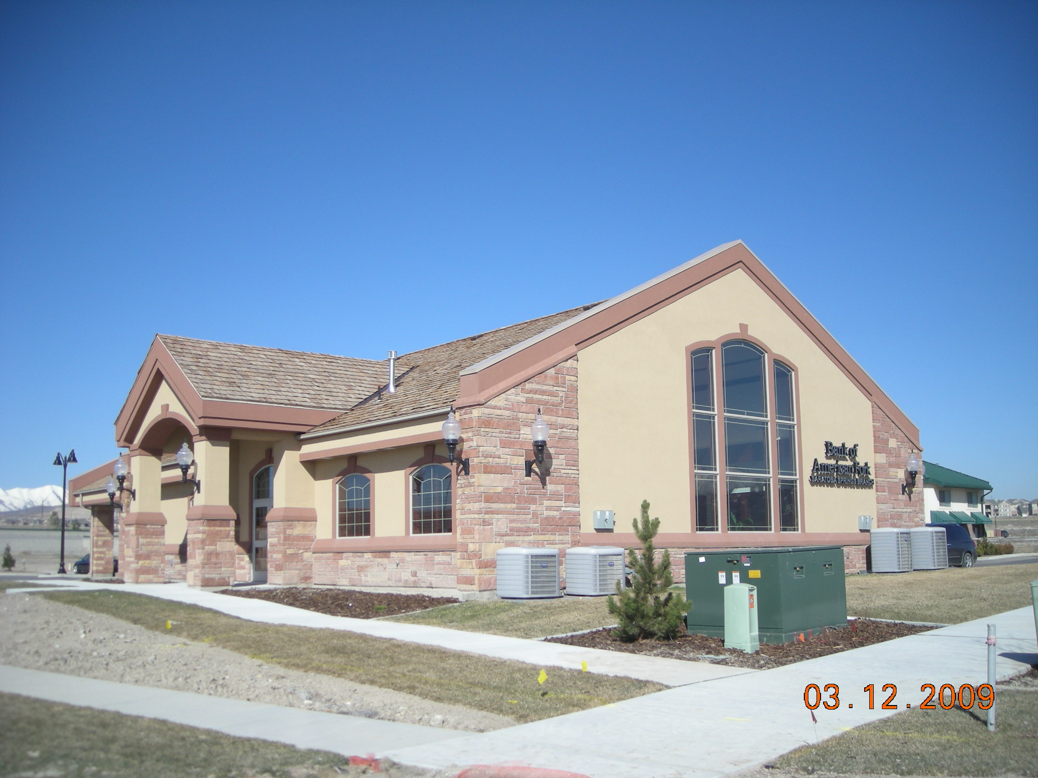
Property Address:  28 W COMMERCE DR - SARATOGA SPRINGS  
Mailing Address: 1543 N REDWOOD RD SARATOGA SPRINGS, UT 84045-3917  
Acreage: 0.815  
Last Document: 20294-2009  
Subdivision Map Filing   
Taxing Description:  LOT 1, PLAT A, SARATOGA SPRINGS BANK OF AMERICAN FORK SUBDV. AREA 0.815 AC.

*Taxing description NOT FOR LEGAL DOCUMENTS


  • Owner Names
  • Value History
  • Tax History
  • Location
  • Photos
  • Documents
  • Aerial Image
 
----- Real Estate Values -----
---Improvements---
---Greenbelt---
Total
Year
Com
Res
Agr
Tot
Com
Res
Agr
Tot
Land
Homesite
Tot
    Market Value
2009
$383,400
$0
$0
$383,400
$525,800
$0
$0
$525,800
$0
$0
$0
$909,200
Year
General Taxes
Adjustments
Net Taxes
Fees
Payments
Tax Balance*
Balance Due
Tax District
2009
$10,528.54
$0.00
$10,528.54
$0.00
$0.00
$0.00     039 - SARATOGA SPRINGS

* Note: Original tax amount (Does not include applicable interest and/or fees).
Parcel Photo
Entry # Date Recorded Type Party1 (Grantor) Party2 (Grantee)
20294-2009 01/27/2009 02/26/2009 WD BANK OF AMERICAN FORK UTAH DEPARTMENT OF TRANSPORTATION
100841-2008 08/19/2008 09/11/2008 WD BANK OF AMERICAN FORK UTAH DEPARTMENT OF TRANSPORTATION
57303-2008 05/09/2008 05/14/2008 WD GLAITTLI, JAMES M & G DOUGLAS BANK OF AMERICAN FORK
54492-2008 05/05/2008 05/07/2008 S PLAT GLAITTLI, G DOUGLAS & JAMES M SARATOGA SPRINGS BANK OF AMERICAN FORK PLAT A


Main Menu

Comments or Concerns on Value/Appraisal - Assessor's Office
Documents/Owner/Parcel information - Recorder's Office
Address Change for Tax Notice

This page was created on 9/6/2024 9:36:01 AM

× Large Image