Property Information
mobile view
| Serial Number: 08:151:0021 |
Serial Life: 2000 |
|
|
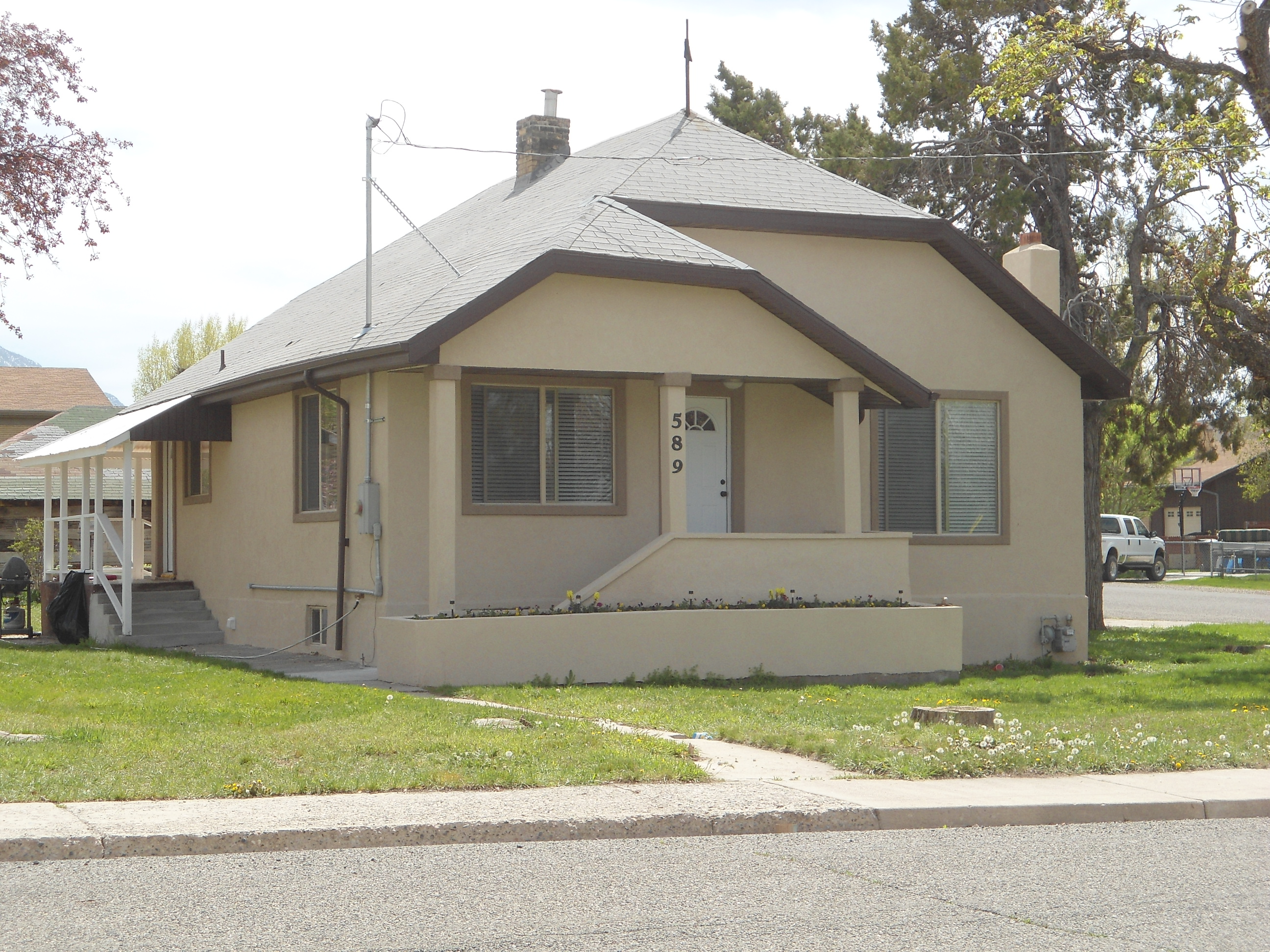 Total Photos: 1
|
| |
|
|
| Property Address: PAYSON |
|
| Mailing Address: 436 E 500 S PAYSON, UT 84651-2929 |
|
| Acreage: 1.148737 |
|
| Last Document:
59456-1999
|
|
| Subdivision Map Filing |
|
| Taxing Description:
COM S 211.83 FT FR NE COR. OF LOT 5 BLK 23 PLAT Q PAYSON CITY SURVEY; S 217.17 FT; W 160.28 FT; N 45 DEG 0' 0" W 100.01 FT; N 143.78 FT; E 113 FT; N 0 DEG 2' 59" W 5.64 FT; S 88 DEG 33' 31" E 118.04 FT TO BEG. AREA 1.091 AC. ALSO COM S 358.28 FT & W 231 FT FR NE COR. OF LOT 5 BLK 23 PLAT Q PAYSON CITY SURVEY; S 45 DEG 0' 0" E 100.01 FT; W 70.72 FT; N 70.72 FT TO BEG. AREA 0.057 AC. TOTAL AREA 1.149 AC.
*Taxing description NOT FOR LEGAL DOCUMENTS
|
|
- Owner Names
- Value History
- Tax History
- Location
- Photos
- Documents
- Aerial Image
| |
----- Real Estate Values ----- |
---Improvements--- |
---Greenbelt--- |
Total |
| Year |
Com |
Res |
Agr |
Tot |
Com |
Res |
Agr |
Tot |
Land |
Homesite |
Tot |
Market Value |
| 2000 |
$80,000 |
$0 |
$0 |
$80,000 |
$26,500 |
$0 |
$0 |
$26,500 |
$0 |
$0 |
$0 |
$106,500 |
| Year |
General Taxes |
Adjustments |
Net Taxes |
Fees |
Payments |
Tax Balance* |
Balance Due |
Tax District |
| 2000 |
$1,198.23 |
$0.00 |
$1,198.23 |
$0.00 |
|
$0.00
|
$0.00 |
170 - PAYSON CITY |
* Note: Original tax amount (Does not include applicable interest and/or fees).
| Entry # |
Date |
Recorded |
Type |
Party1 (Grantor) |
Party2 (Grantee) |
| 71799-2000 |
09/22/1999 |
09/13/2000 |
S PLAT |
MOORE, RICHARD V & CONNIE G (ET AL) |
PAYSON LUMBER PLAT A |
| 71798-2000 |
09/08/2000 |
09/13/2000 |
AGR |
HASKELL, LEE F (ET AL) |
PAYSON CITY (ET AL) |
| 59457-1999 |
05/17/1999 |
05/21/1999 |
TR D |
MOORE, RICHARD V & CONNIE G |
HASKELL, LEE F & MAXINE B |
| 59456-1999 |
05/18/1999 |
05/21/1999 |
WD |
HASKELL, LEE F & MAXINE B |
MOORE, RICHARD V & CONNIE G |
| 59455-1999 |
05/18/1999 |
05/21/1999 |
BLA |
HOFFMANN, RANDY ARNOLD (ET AL) |
HASKELL, MAXINE B & LEE F (ET AL) |
Main Menu Comments or Concerns on Value/Appraisal - Assessor's Office
Documents/Owner/Parcel information - Recorder's Office
Address Change for Tax Notice
This page was created on 2/14/2025 2:42:08 AM |